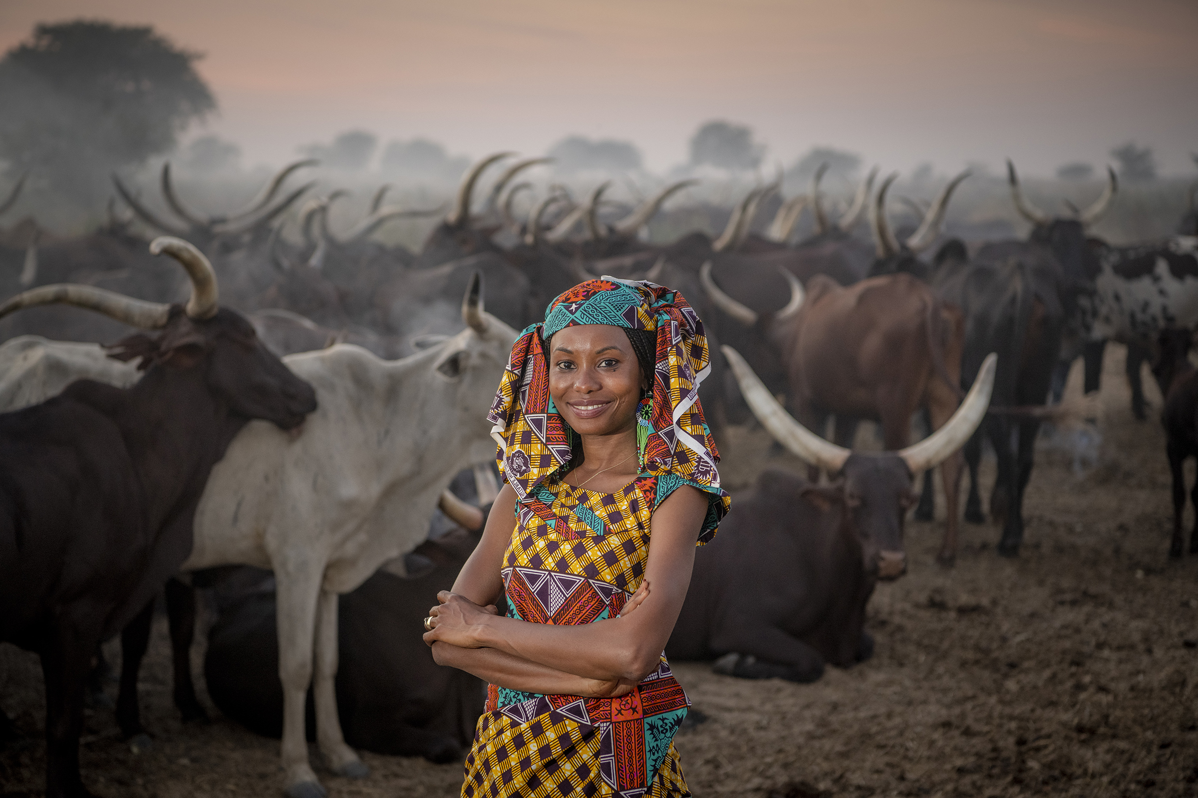
Plenty of people complain about bad weather forecasts. For Hindou Oumarou Ibrahim, a member of the nomadic Mbororo people of Chad, it’s a question of survival. “Our Indigenous way of living, our culture, our identity, is dependent on the ecosystem. That makes us vulnerable.”
Though she was educated in the capital, Ibrahim, 38, spent summers herding cattle with her community across the Sahel drylands south of the Sahara desert. She understood that the emerging threat of climate change could only be tackled with a combination of Western technology and Indigenous knowledge. Since then, she has devoted her life to bridging the gap between the two. “Ours is a science too,” she says.
One of her first projects was working with meteorologists to help deliver local, timely forecasts that her community could use in the face of weather that climate change has made increasingly unpredictable. That turned into a text-message-based alert system that notifies both city dwellers and herders of inclement conditions.
As the founder of a community-based organization, Ibrahim has become a voice for Indigenous groups around the world. At a workshop for like-minded Indigenous leaders in 2010, she learned about participatory mapping, a system in which communities combine local knowledge and history with the tools of modern cartography to better understand a region’s needs.
She thought that system might have potential for helping to solve one of the most intractable problems of the Sahel: conflict between farmers and nomadic herders over rapidly shrinking water resources. Lake Chad used to be one of the largest in Africa. Now it has shrunk to one-tenth of its original size in just a few decades, impacting the lives of fisherfolk, farmers and animal herders. “Now they are all fighting for access to dwindling fertile land,” Ibrahim says.
Ibrahim started a mapping exercise with her own community, asking members to plot out the migration corridors they used to bring their cattle to water. Then she reached out to the fisherfolk, who needed to access the shore.

Finally, she met with farmers to sketch in croplands. Armed with a map of conflicting needs, she was able to help each community find a compromise that provided water access while mitigating conflict.
The map also serves as a time-stamped inventory of natural resources that can be used to help predict future changes in the case of drought and flooding—all more likely with climate change. “So much of our resilience comes from knowing what to expect,” Ibrahim says, “and how to prepare for it.”
- Donald Trump Is TIME's 2024 Person of the Year
- Why We Chose Trump as Person of the Year
- Is Intermittent Fasting Good or Bad for You?
- The 100 Must-Read Books of 2024
- The 20 Best Christmas TV Episodes
- Column: If Optimism Feels Ridiculous Now, Try Hope
- The Future of Climate Action Is Trade Policy
- Merle Bombardieri Is Helping People Make the Baby Decision