The 2017 total solar eclipse is fast approaching, and hordes of sky gazers are scrambling to find a spot where they can see the shadow of the moon completely obscure the sun for a few moments on Aug. 21. (Watch TIME’s livestream of the total eclipse beginning at 12 p.m. ET on Monday.)
There’s technically plenty of room for every American to pack into the narrow zone from Oregon to South Carolina where the total blackout will occur, shown on this eclipse map. But most of the country will be moored in a place where they will see only a partial eclipse, which occurs when the moon will block anywhere from nearly the entire sun to just a slice of it.
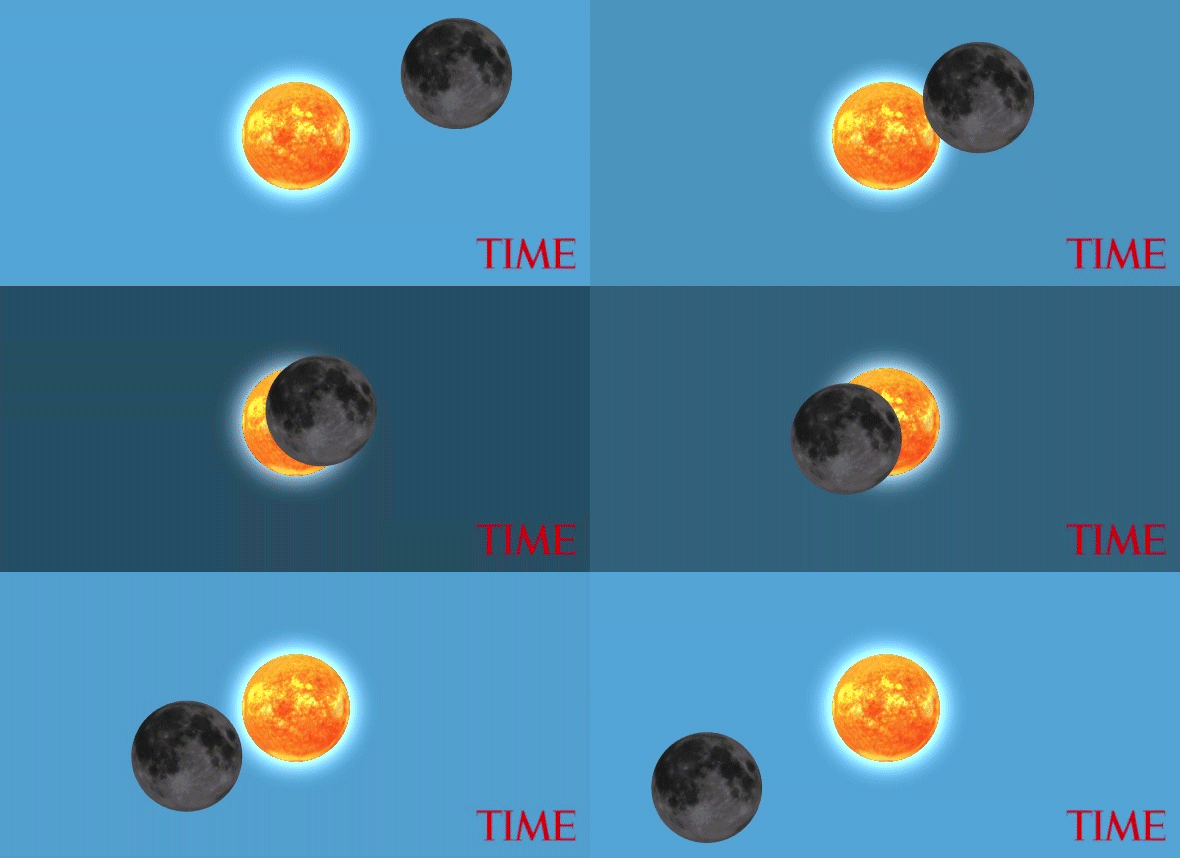
So we decided to create a simulation of the eclipse (above) that shows a view of the sky from any location in the U.S., allowing you to see what the eclipse will look like from anywhere. Here’s what it will look like from Goreville, Illinois, a town of 1,067 lucky people where the eclipse will last for the longest period, over two-and-a-half minutes:

Our animation is fact-checked against NASA’s times and is generally accurate to within one minute of the space agency’s calculations for when the “peak eclipse” will occur in a given spot. Retired mathematician and amateur astronomer Barry Carter offered guidance on generating the data and checking the simulation’s accuracy.
We took a few small artistic liberties. While our simulation shows the moon approaching from afar, in reality viewers will not see the moon with such clarity until they notice a black orb obscuring the sun. The moon is also faintly illuminated to show the craters.
We also moderately exaggerated the degree to which a partial eclipse darkens the sky, when in fact the sun is so bright that, even when it is mostly obscured, it still manages to send enough light to the Earth to create near-daylight.
The slider above the sun in the simulation begins when the moon is nearing its approach and ends well after the eclipse is over. You can drag the slider to pause the animation at any particular time. All times shown are local time for that particular location. It might not be quite the same as viewing it in person, but you can view as many locations as you wish, while you can only be in one place on Aug. 21.
Watch Live as the 2017 Total Solar Eclipse Crosses the U.S.
Methodology
This simulation is a realistic 3D model of the solar system. We used NASA’s industrial-grade software, called SPICE, to generate the precise positions of the sun and the moon relative to the Earth for each minute of the day on Aug. 21. These calculations account for the fact that light from the sun takes about 8 minutes to reach the Earth, giving us a very slightly skewed picture of where it actually is. Accounting for this aberration appears to offset our peak times from NASA’s by one minute in some places.
Then we loaded these coordinates into a 3D engine, scaling the positions of the sun and moon down from a scale of nearly 100 million miles to a manageable number of pixels. Location coordinates were extracted from the Census Bureau and location names were matched to ZIP codes using the Missouri Census Data Center (which covered the entire country). The position of the sun is held constant at the center of the animation for viewing convenience instead of moving across the sky over several hours, which can slightly alter the angle at which the moon approaches, though not the degree of obscuration.
More Must-Reads from TIME
- Where Trump 2.0 Will Differ From 1.0
- How Elon Musk Became a Kingmaker
- The Power—And Limits—of Peer Support
- The 100 Must-Read Books of 2024
- Column: If Optimism Feels Ridiculous Now, Try Hope
- The Future of Climate Action Is Trade Policy
- FX’s Say Nothing Is the Must-Watch Political Thriller of 2024
- Merle Bombardieri Is Helping People Make the Baby Decision
Write to Chris Wilson at chris.wilson@time.com