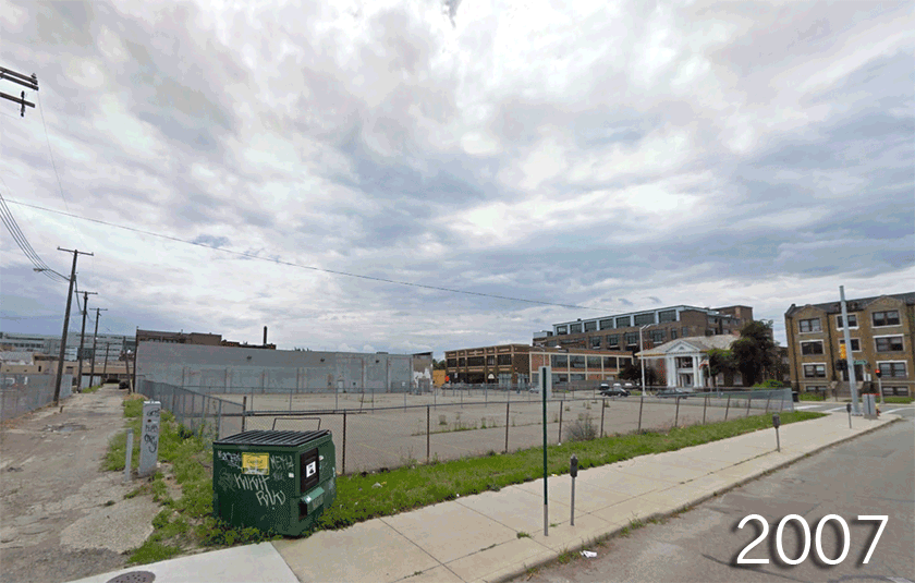
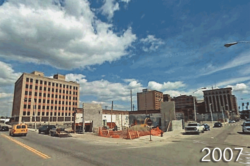
The Motor City, the former automotive capital of the nation, has seen a steady and precipitous decline in population and economic growth over the last half-century. The automotive industry’s move out of Detroit, poor political decision-making, and the collapse of the housing industry can all be viewed as causes for the city’s decline, among other reasons. On July 18, 2013, unable to pay its looming debts, Detroit became the largest city in U.S. history to enter bankruptcy.
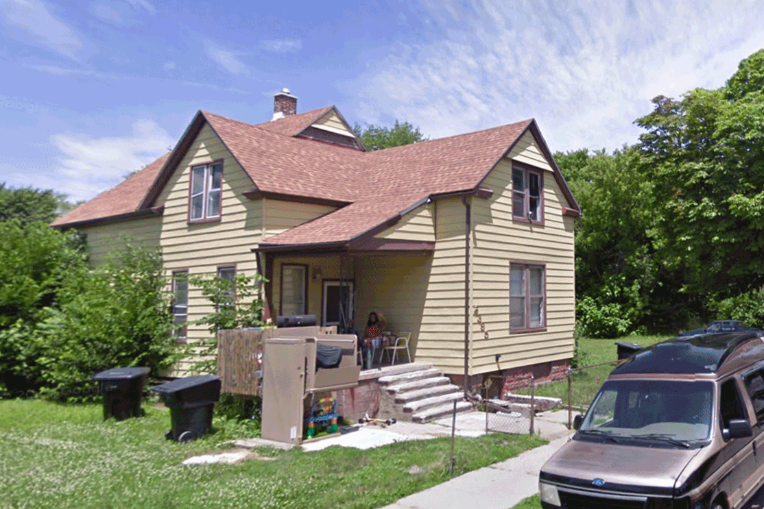
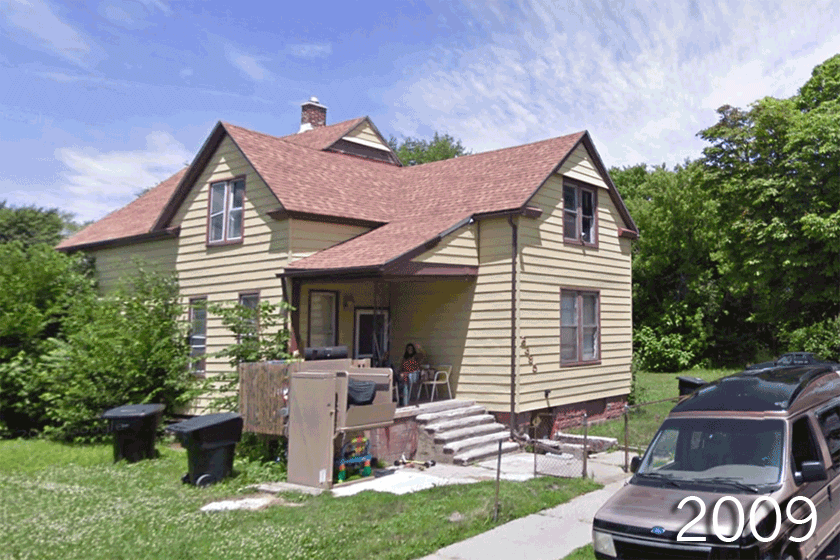
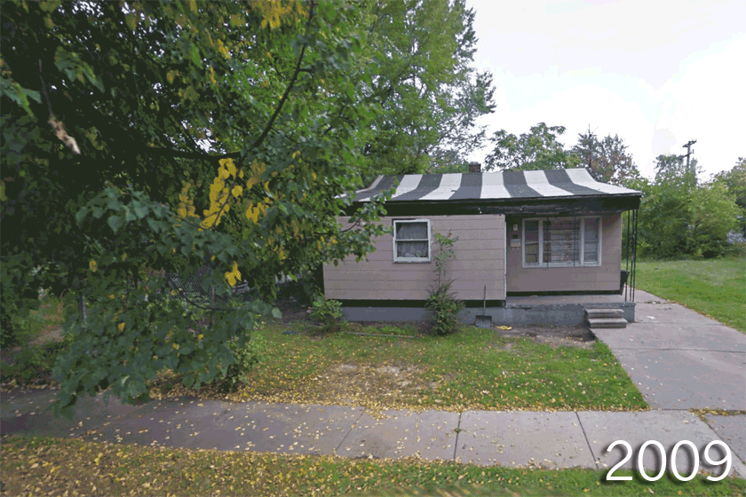
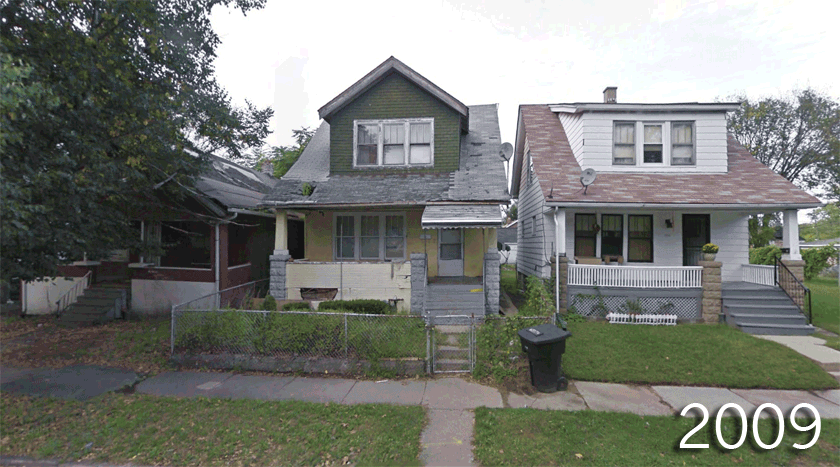
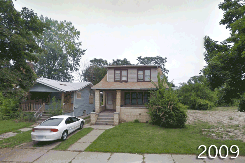
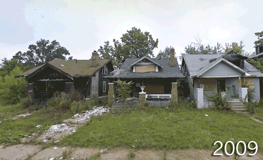
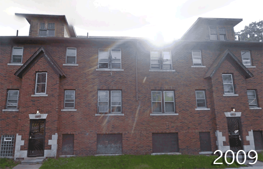
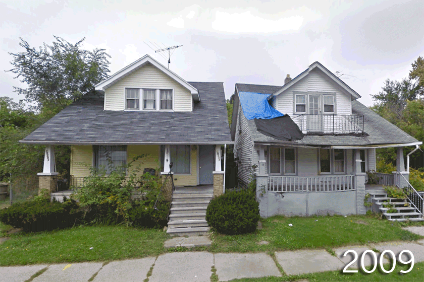
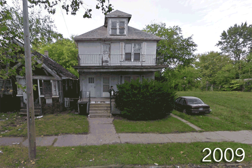
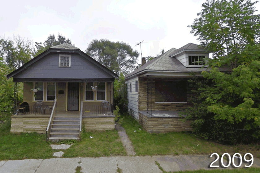
However, this momentous step did not happen overnight. Detroit was hit with a housing crisis in 2008, a sign of economic trouble that foreshadowed the city’s bankruptcy. A major outcome of that crisis is the city’s ongoing blight epidemic. Vast stretches of abandoned residential property lay on the outskirts of the once sprawling 139-square-mile city.
As Steven Gray wrote in 2009, “If there’s any city that symbolizes the most extreme effects of the nation’s economic crisis and, in particular, America’s housing crisis, it is Detroit.”
While many of the buildings and houses within the city have disappeared, evidence of a former era can be found in the more than 80,000 blighted houses remaining combined with an estimated 5,000 incidents of arson each year, according to the New York Times Magazine.
Despite all this, the Motor City could have a bright road ahead. There has been a recent surge in growth, spurred by a sense of opportunity in the ever-evolving city. New businesses are popping up and property is being rebuilt and re-purposed for urban farming, startups and public art.
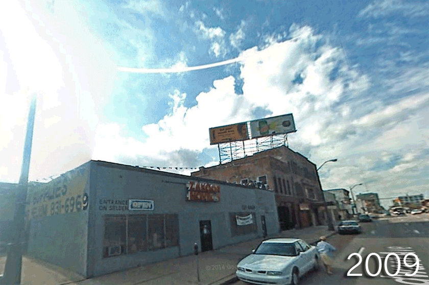
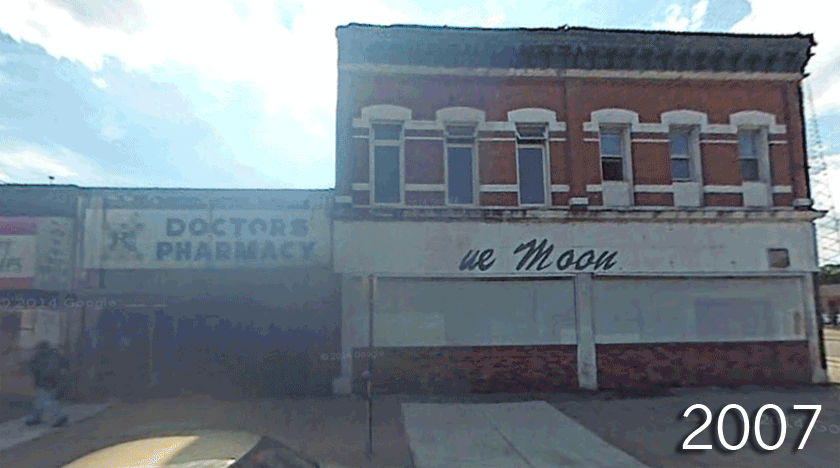
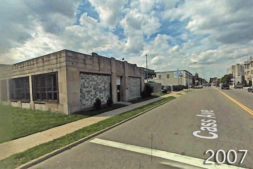
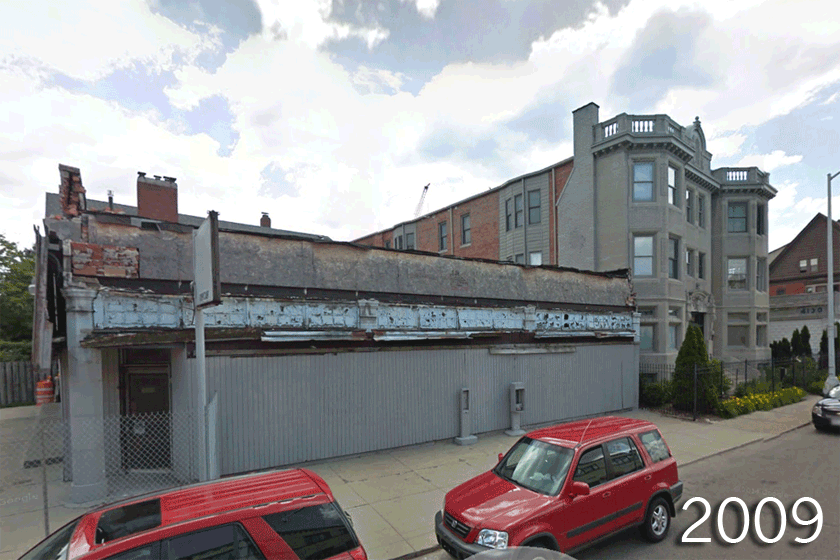
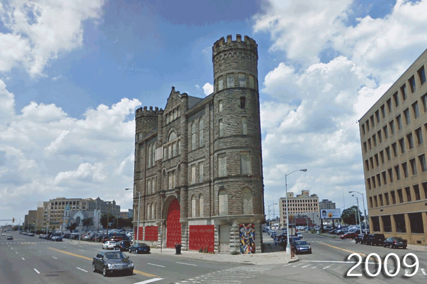
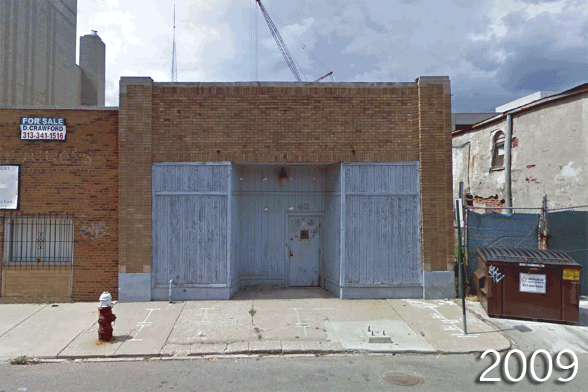
Google Street view images, compiled here into GIFs, offer a unique look at how Detroit’s landscape has changed over the past four to six years leading up to the city’s bankruptcy a year ago.

More Must-Reads from TIME
- Why Trump’s Message Worked on Latino Men
- What Trump’s Win Could Mean for Housing
- The 100 Must-Read Books of 2024
- Sleep Doctors Share the 1 Tip That’s Changed Their Lives
- Column: Let’s Bring Back Romance
- What It’s Like to Have Long COVID As a Kid
- FX’s Say Nothing Is the Must-Watch Political Thriller of 2024
- Merle Bombardieri Is Helping People Make the Baby Decision
Contact us at letters@time.com