These are independent reviews of the products mentioned, but TIME receives a commission when purchases are made through affiliate links at no additional cost to the purchaser.
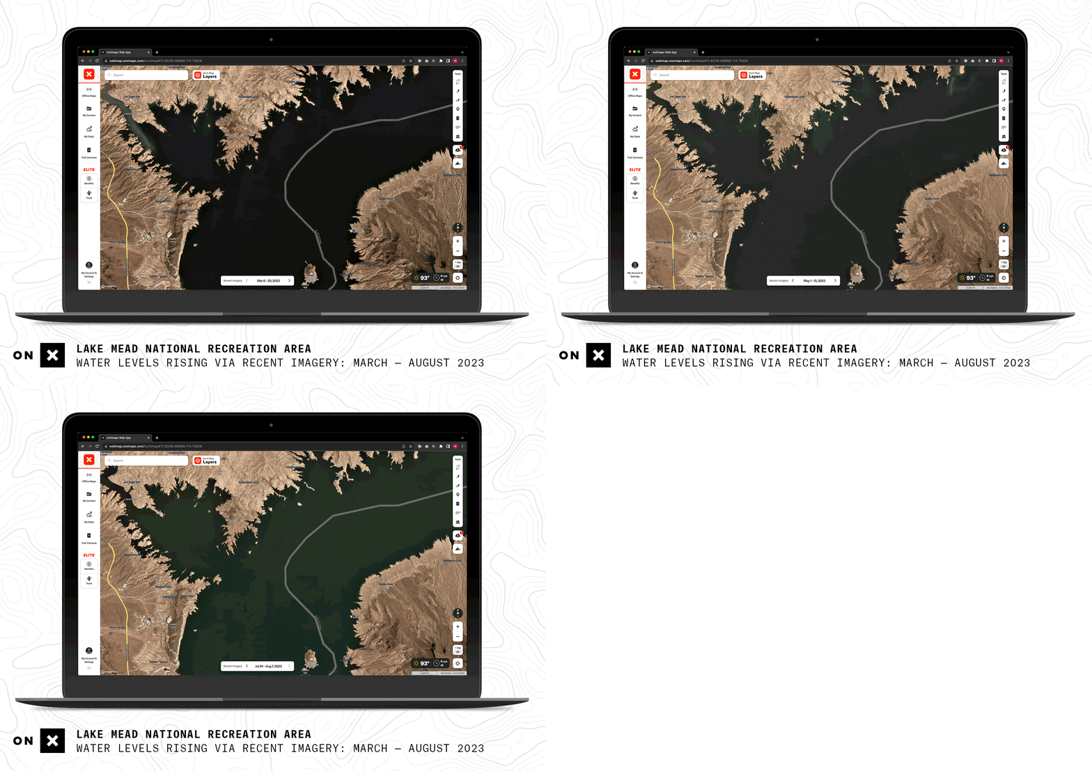
When planning a hunt or a backcountry hike, knowing the latest on-the-ground conditions—like whether a cornfield has been harvested or a mountain pass is dry—is invaluable. OnX, which makes apps geared to hunters, off-roaders, and other backcountry adventurers, this year added a “recent imagery” feature, which provides paying users (in every U.S. state but Hawaii) unparalleled visibility thanks to satellite images provided by Planet Labs. The cloud-free imagery—twice as detailed as that of competing apps, OnX’s Brian Riordan says—is updated every two weeks.
More Must-Reads from TIME
- How Donald Trump Won
- The Best Inventions of 2024
- Why Sleep Is the Key to Living Longer
- Robert Zemeckis Just Wants to Move You
- How to Break 8 Toxic Communication Habits
- Nicola Coughlan Bet on Herself—And Won
- Why Vinegar Is So Good for You
- Meet TIME's Newest Class of Next Generation Leaders
