These are independent reviews of the products mentioned, but TIME receives a commission when purchases are made through affiliate links at no additional cost to the purchaser.
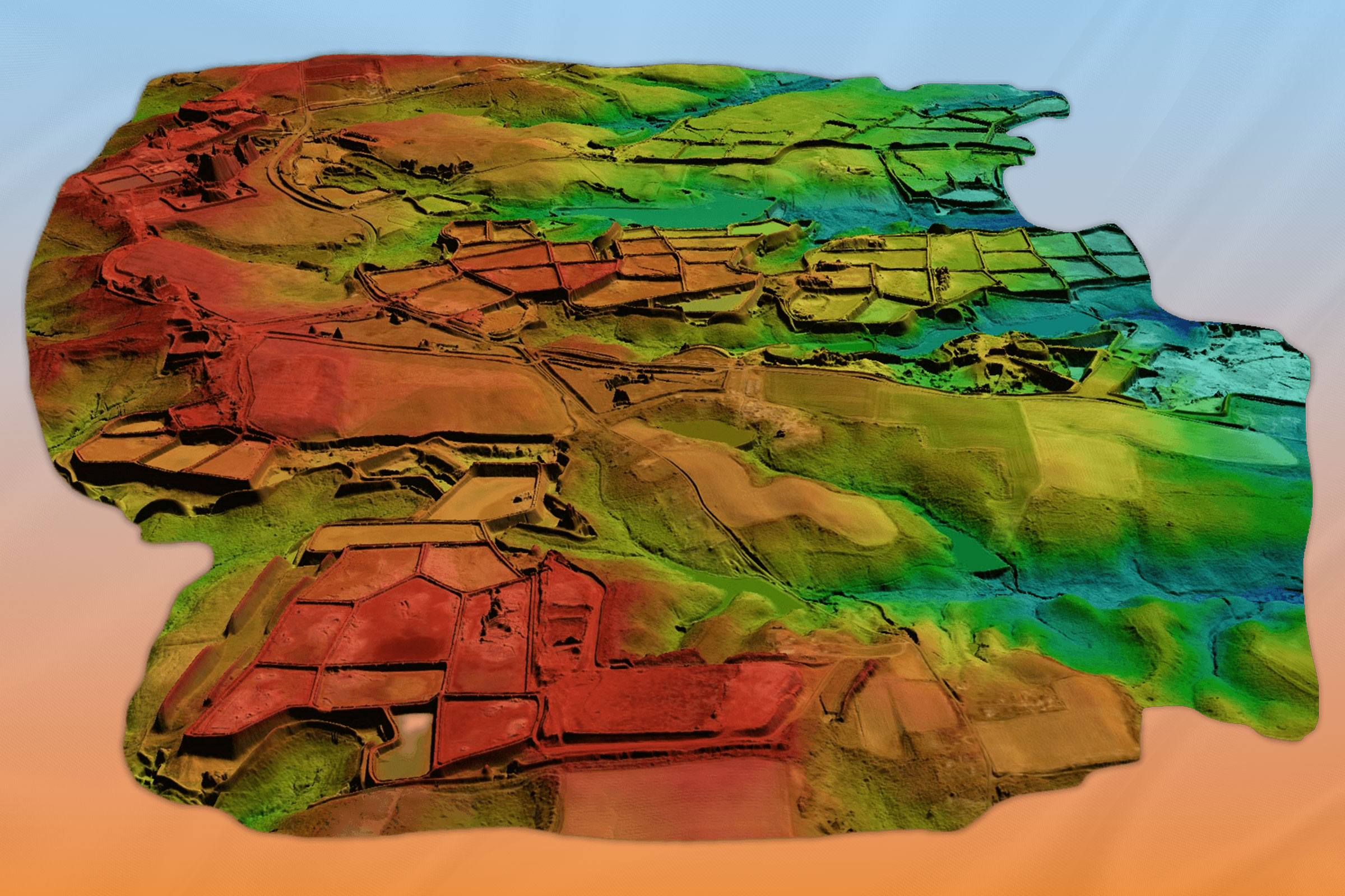
Satellite imagery helps scientists keep track of how our planet’s natural environment is changing, but it can’t cut through a thicket of tree cover or pick up changes in the dark. Nuview will address those shortcomings with 20 LiDAR satellites that beam a laser pulse down to earth and measure the time it takes to return. From there, the system creates a 3D image of the terrain, eventually mapping the entire surface of the planet. “With every pulse of light, we’re casting a new perspective on Earth,” says Nuview CEO Clint Graumann. The satellites don’t go live until 2025, but Nuview already has $1.2 billion in business agreements, including one with the U.S. Department of Defense.
More Must-Reads from TIME
- Cybersecurity Experts Are Sounding the Alarm on DOGE
- Meet the 2025 Women of the Year
- The Harsh Truth About Disability Inclusion
- Why Do More Young Adults Have Cancer?
- Colman Domingo Leads With Radical Love
- How to Get Better at Doing Things Alone
- Michelle Zauner Stares Down the Darkness


