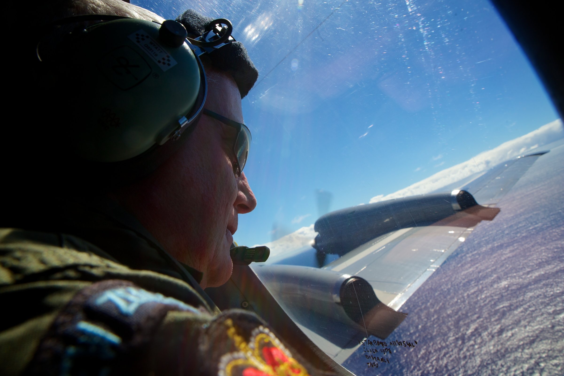
The hunt for missing Malaysia Airlines Flight 370 should turn several thousand kilometers from the southern Indian Ocean to the Bay of Bengal, say supporters of new evidence that could suggest that the doomed jet may have crashed around 190 km (120 miles) south of Bangladesh.
Australian company GeoResonance uses radiation scanning technology to locate significant concentrations of minerals and metals. By comparing images of the Bay of Bengal before and after the jet disappeared, the firm uncovered what it believes to be a sudden deposit of aluminum — the chief component of the Boeing 777 that vanished shortly after departing Kuala Lumpur on March 8 — along with titanium, jet-fuel residue and other key substances that may indicate the wreckage of a commercial airliner on the seabed.
Nothing has been confirmed, but the firm says that the technology has previously “been successfully applied to locate submersed structures, ships, munitions and aircraft.” It stresses that it “is not declaring this is MH 370” but that the findings should be investigated.
Malaysian acting Transportation Minister Hishammuddin Hussein says Malaysia is “working with its international partners to assess the credibility of this information.”
The Joint Agency Coordination Centre (JACC), which runs the search from Australia, has dismissed GeoResonance’s suggestion, with officials in Perth saying they are “satisfied” four signals detected in the Indian Ocean came from the black boxes of the missing aircraft.
Those signals were plotted along a corridor defined by analysis of maintenance data by British satellite firm Inmarsat. Hundreds of air and sea reconnaissance missions have been launched based on the analysis, making the search operation the most expensive in history. An underwater drone continues to operate along this route.
However, by Inmarsat’s own admission, the calculations that defined the southern search corridor had never been done before. The firm’s refusal to release raw data, despite repeated desperate pleas from distraught relatives, means the scientific community has been unable to critique or corroborate the findings.
Jules Jaffe, of the Scripps Institution of Oceanography, in California, tells TIME that he would like to think the Indian Ocean pings came from MH370, but: “One would really want to see the data to be more confident of that. I really hope that they have the quantitative analysis to back up their claims.”
There are difficulties with GeoResonance’s theory. While multispectral analysis has been used to discover subterranean mining deposits, electromagnetic radiation is absorbed by seawater, and many simply do not accept that it is capable of detecting a plane lying under a kilometer of ocean. David Gallo of the Massachusetts-based Woods Hole Oceanographic Institution, who co-led the search for Air France Flight 447, told CNN the data was “perplexing on a number of fronts.”
Nonetheless, GeoResonance says, “The company and its directors are surprised by the lack of response from the various authorities.”
More Must-Reads from TIME
- Cybersecurity Experts Are Sounding the Alarm on DOGE
- Meet the 2025 Women of the Year
- The Harsh Truth About Disability Inclusion
- Why Do More Young Adults Have Cancer?
- Colman Domingo Leads With Radical Love
- How to Get Better at Doing Things Alone
- Michelle Zauner Stares Down the Darkness
Contact us at letters@time.com