Winter isn’t done with the Northeast just yet.
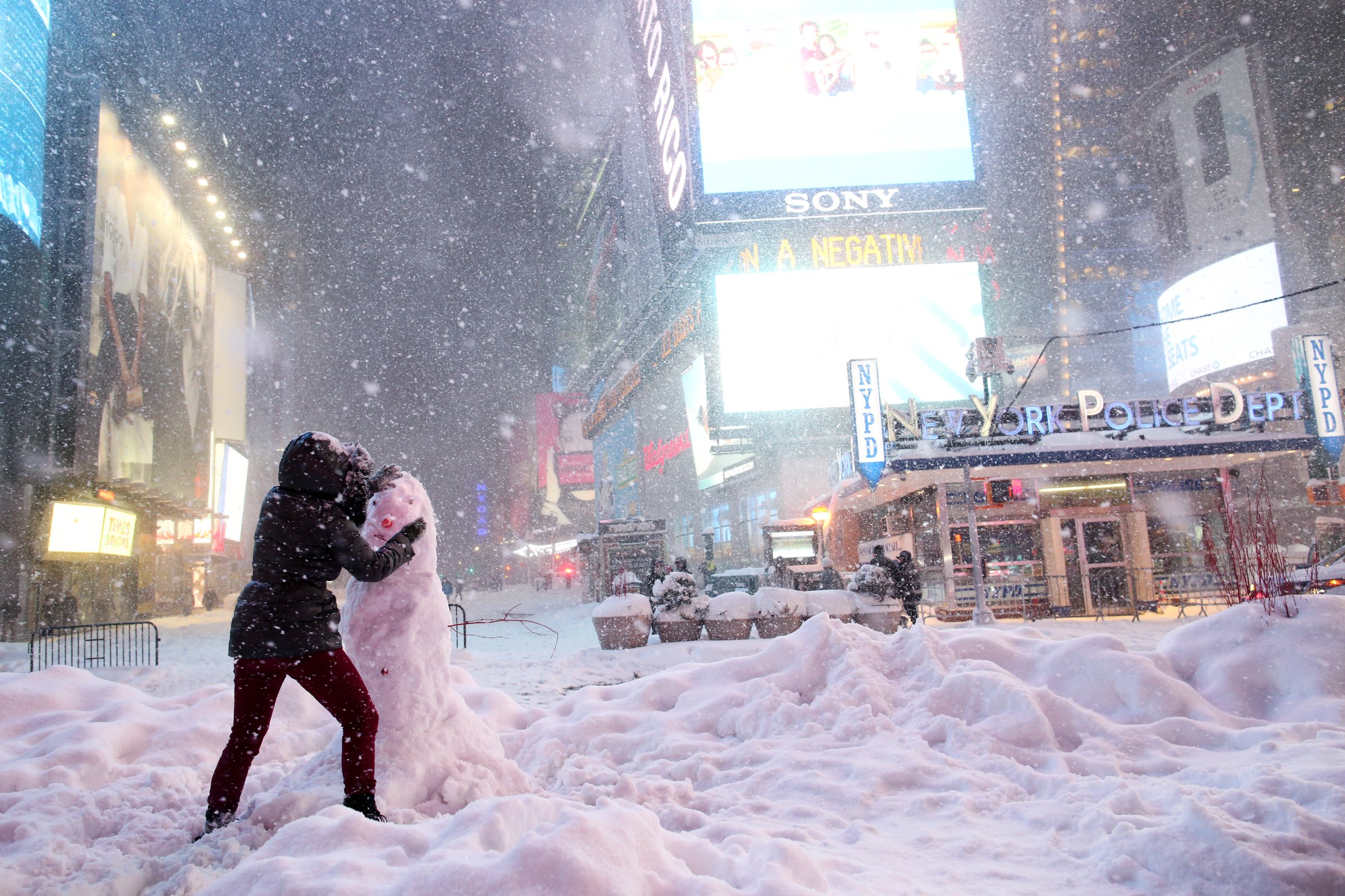
For the second time in a week, a storm promises to barrel along the East Coast, bringing snow to New York and pounding coastal areas still cleaning up from last week’s nor’easter.
As much as six to nine inches (15 to 23 centimeters) of snow could fall starting late Tuesday in New York’s five boroughs, northern New Jersey, and southern Connecticut, the National Weather Service said. Some areas could get as much as a foot. There are a few wrinkles in the forecast, though, that could mean more rain in some areas.
“Overall, we just felt there was a 50 percent chance of at least six inches of snow that is why we issued the winter storm watch,” said Brian Ciemnecki, a weather service meteorologist in Upton, New York. “It doesn’t mean we’re going to get six inches.”
There is still a chance the storm will track closer to the coast, which could mean more rain for New York and coastal areas, cutting down on snow amounts, Ciemnecki said.
Bilzzard Warnings
The storm will form out of a winter system that is coming across the Great Plains now, prompting blizzard warnings from North Dakota to Nebraska. The strong winds and dry air in its wake has also raised the chances of wildfires throughout Colorado, Kansas and Oklahoma, the weather service said.On Friday and Saturday, the East Coast got walloped by a nor’easter that left 2 million homes and businesses without power at its peak, grounded thousands of flights, halted Amtrak trains on the Northeast Corridor and caused massive flooding to coastlines. New York Governor Andrew Cuomo declared an emergency in Westchester, Putnam, Dutchess and Sullivan counties.
Along the Massachusetts coast, Boston recorded its third highest tide on Friday and the region was raked by wind gusts as high as 97 miles per hour. On Sunday, residents were still pumping sea water out of homes and many coastal roads remained closed with higher than normal water lurking just beyond seawalls.
The storm set to form Tuesday and strengthen into Wednesday won’t bring that kind of fury to the coastline. But because the area has already been hurt, it will be more vulnerable. Steady winds of 15 to 20 mph are likely with gusts up to at least 30 mph, said Frank Pereira, a forecaster at the U.S. Weather Prediction Center in College Park, Maryland.
“That is going to have some significant impacts especially across those areas that were impacted by the last one,” Pereira said.
A winter storm watch has been posted from northeast Pennsylvania to Maine. Coastal flood advisories stretch from Maine to Virginia as onshore winds in the wake of last week’s storm keep water pinned along the coast. Because the storm will strengthen further north, Pereira said Washington will likely be spared snow while Philadelphia could get an inch or so.
More Must-Reads from TIME
- Donald Trump Is TIME's 2024 Person of the Year
- Why We Chose Trump as Person of the Year
- Is Intermittent Fasting Good or Bad for You?
- The 100 Must-Read Books of 2024
- The 20 Best Christmas TV Episodes
- Column: If Optimism Feels Ridiculous Now, Try Hope
- The Future of Climate Action Is Trade Policy
- Merle Bombardieri Is Helping People Make the Baby Decision
Contact us at letters@time.com