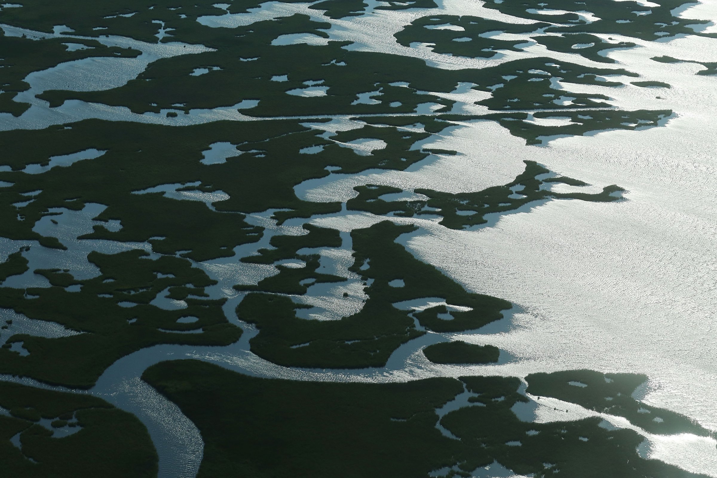
Scientists already knew the Louisiana coastline was sinking into the Gulf of Mexico, and fast. But not this fast.
Louisiana is sinking into the sea — a geological process called ”subsiding” — at a rate of nine millimeters (just over a third of an inch) per year, according to a new report and map published by Geological Society of America. Earlier studies had called a subsiding of 8-10 millimeters per year a “worst case scenario.”
The researchers combined data records from 274 sites across the Louisiana coastline. The average rate is much higher than previous estimates, and it still doesn’t include sea level rise due to climate change, which is up to an additional three millimeters per year and accelerating, according to Jaap Nienhuis, a fellow at Tulane University and the lead author of the report. Wetlands serve as crucial protection against hurricanes, in addition to their value to the ecology and fisheries of Louisiana, Nienhuis said.
This subsiding process is due to both long-term geology and, more significantly, poor sediment management because of levees obstructing a natural river process. In the past century, Louisiana has experienced “catastrophic rates of wetland loss,” the report said — a loss “equivalent in area to the state of Delaware.”
More Must-Reads from TIME
- Donald Trump Is TIME's 2024 Person of the Year
- Why We Chose Trump as Person of the Year
- Is Intermittent Fasting Good or Bad for You?
- The 100 Must-Read Books of 2024
- The 20 Best Christmas TV Episodes
- Column: If Optimism Feels Ridiculous Now, Try Hope
- The Future of Climate Action Is Trade Policy
- Merle Bombardieri Is Helping People Make the Baby Decision
Contact us at letters@time.com