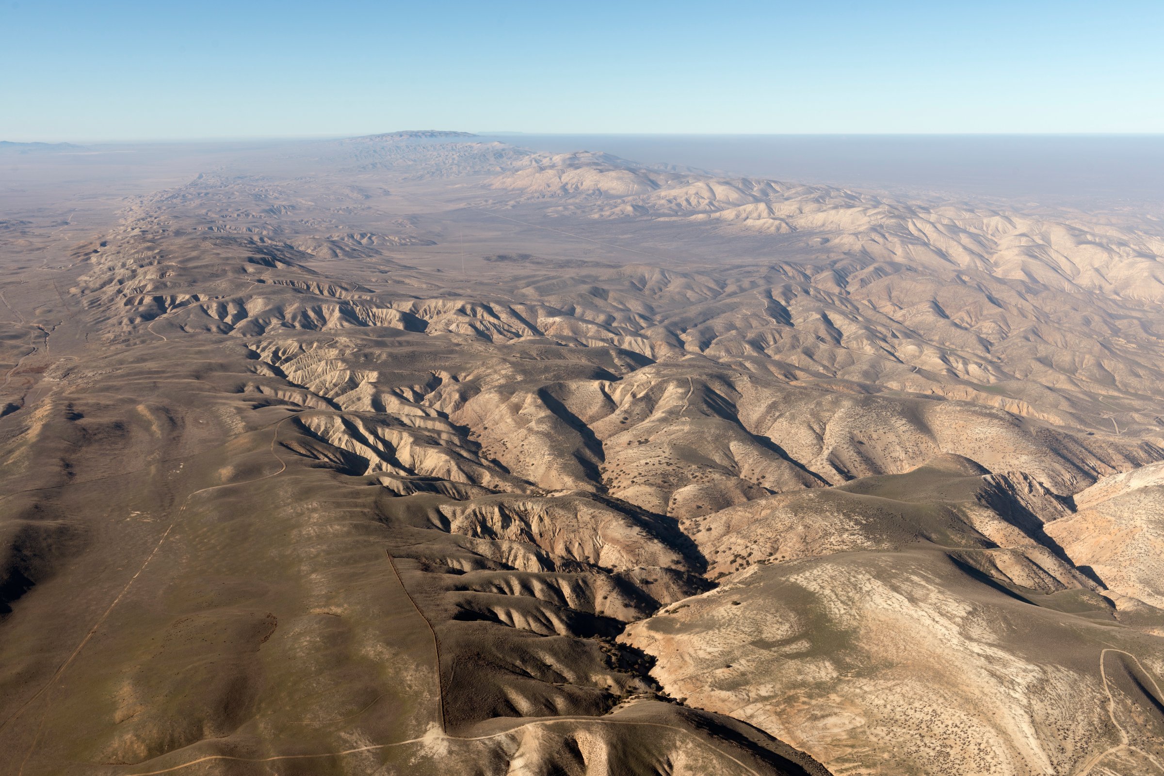
Scientists have produced computer imagery showing large areas of California sinking and rising around the San Andreas fault, possibly causing damage in the event of a large earthquake.
While scientists have long expected that parts of the state were moving along California’s longest earthquake fault, a study in the journal Nature Geoscience produced the first computer images confirming the phenomenon, according to the L.A. Times.
The study found that while much of the Los Angeles Basin is sinking—by a mere two to three millimeters annually—that other areas to the north and west are rising, such as Santa Barbara and parts of San Bernardino County.
Once the next big earthquake hits, Southern California’s different parts will jump back into place at the same level, according to the L.A. Times. “Once there is a major event, all of that energy gets released,” Sam Howell, a doctoral candidate in geophysics at the University of Hawaii at Manoa and the lead author of the report, told the paper.
Some areas along the San Andreas fault have not moved significantly in more than 150 years, the average interval between large ruptures. It is difficult, however, to predict when the next earthquake will hit the area says Howell. “It’s pretty much impossible to say when the next one will happen.”
More Must-Reads From TIME
- The 100 Most Influential People of 2024
- Coco Gauff Is Playing for Herself Now
- Scenes From Pro-Palestinian Encampments Across U.S. Universities
- 6 Compliments That Land Every Time
- If You're Dating Right Now , You're Brave: Column
- The AI That Could Heal a Divided Internet
- Fallout Is a Brilliant Model for the Future of Video Game Adaptations
- Want Weekly Recs on What to Watch, Read, and More? Sign Up for Worth Your Time
Contact us at letters@time.com