What the Modern Presence of Water on Mars Means

5 minute read

Mars may be the solar system’s most tragic planet. It once had a dense atmosphere; it once fairly sloshed with water; just one of its oceans may have covered two-thirds of its northern hemisphere. With seasons very much like Earth’s, it could have been home to who knows what kinds of life.

But Mars suffered an apocalypse that’s never quite been explained; perhaps meteorite bombardments blasted its atmosphere into space, and the planet’s weak gravity frittered away the rest. The result either way is the cold, dead, dry world we see today. Except now, it seems, it’s not so dry—and perhaps not so dead.

According to a paper just published in Nature Geoscience, there appears to be liquid water flowing on the contemporary Mars. And in this case, it’s not the geological definition of contemporary, which can mean the past few million years, but the common definition, which can mean, say, Tuesday.

MORE: Why Humanity Keeps Putting Off the Trip to Mars

“Mars is not the dry, arid planet planet we thought of in the past,” said Jim Green, director of NASA’s planetary science division, at a packed press conference Monday morning. “Under certain circumstances, liquid water has been found on Mars.”

Monday’s announcement goes back to a discovery that was first made in 2010, when then University of Arizona undergraduate student Lujendra Ojha was studying images from NASA’s Mars Reconnaissance Orbiter (MRO), and found transitory streaks along the sides of hills and cliffs that looked for all the world like the tracks of running water. The formations appeared in the Martian spring and summer, when water would be the likeliest to exist in liquid form, and disappeared in fall and winter.

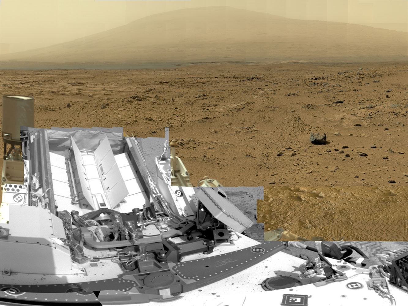
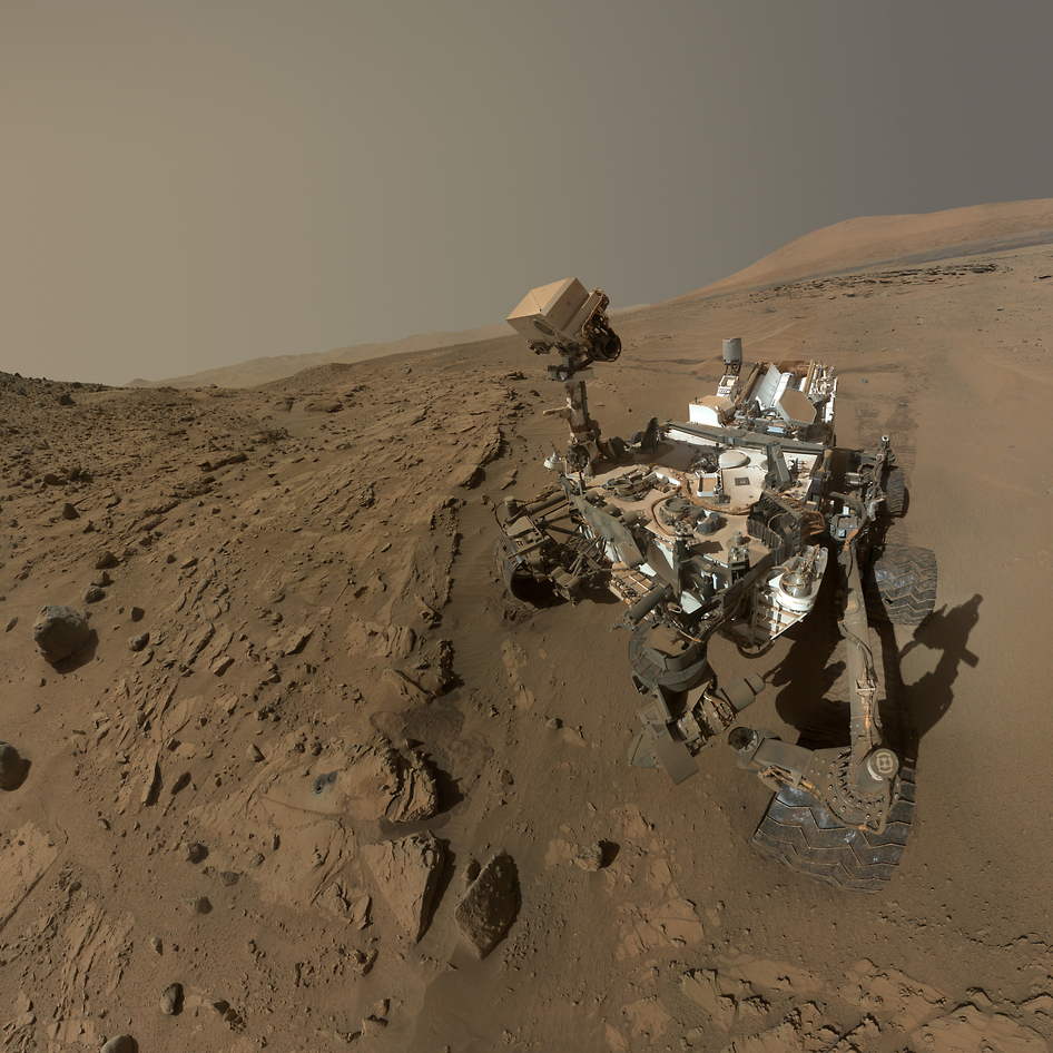
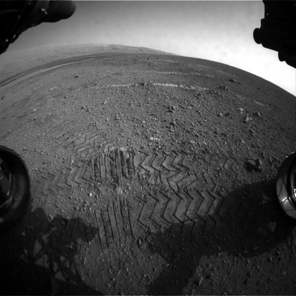
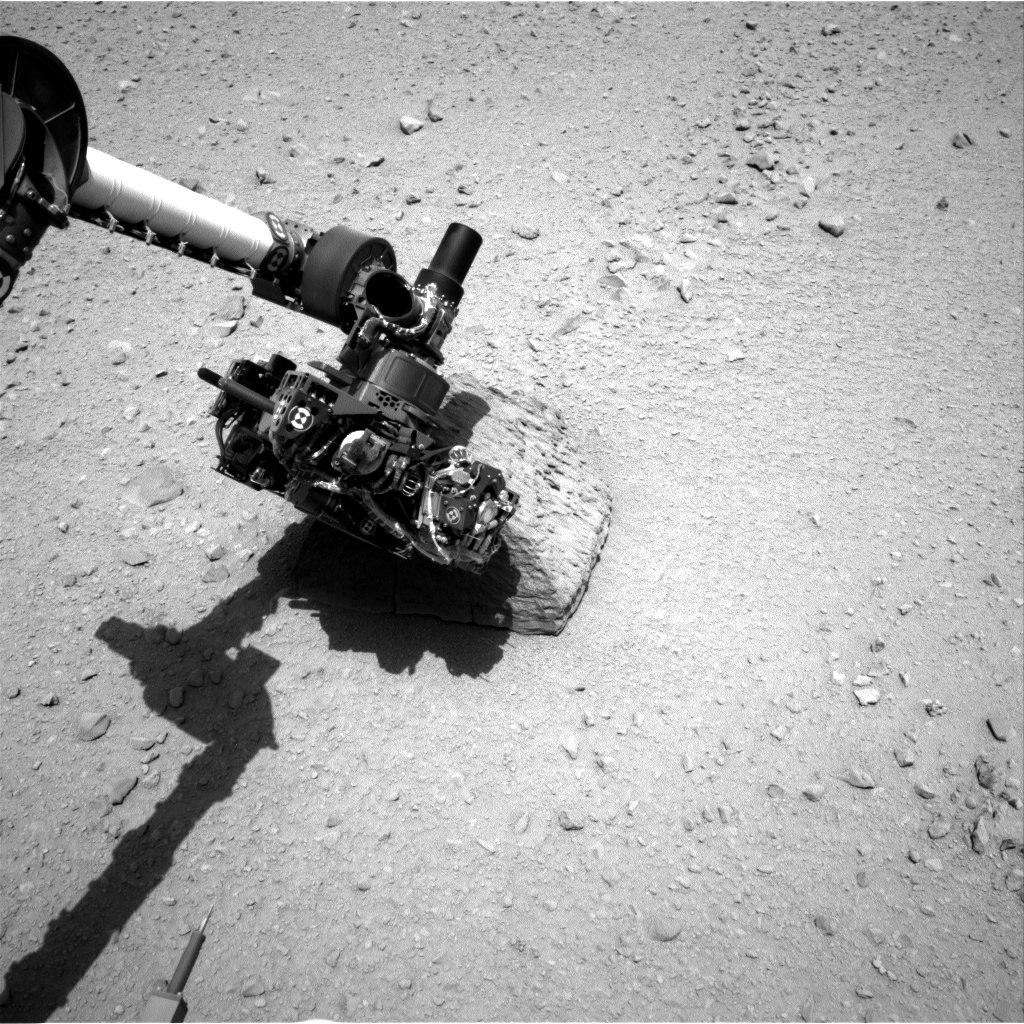
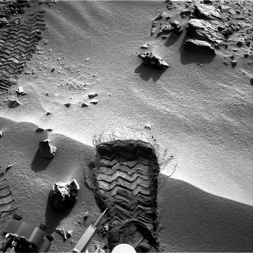
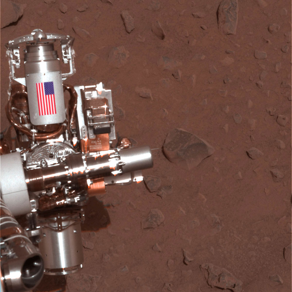
Photos from the Curiosity Rover’s First 2 Incredible Years on Mars

A full-circle view released by NASA on June 20, 2013, combined nearly 900 images taken by NASA's Curiosity Mars rover, generating a panorama with 1.3 billion pixels in the full-resolution version. The view is centered toward the south, with north at both ends. It shows NASA's Mars rover Curiosity at the 'Rocknest' site where the rover scooped up samples of windblown dust and sand.
A full-circle view released by NASA on June 20, 2013, combined nearly 900 images taken by NASA's Curiosity Mars rover, generating a panorama with 1.3 billion pixels in the full-resolution version. The view is centered toward the south, with north at both ends. It shows NASA's Mars rover Curiosity at the 'Rocknest' site where the rover scooped up samples of windblown dust and sand.NASA/JPL-Caltech/MSSS/EPA
NASA's Mars Curiosity Rover captures a selfie to mark a full Martian year -- 687 Earth days -- spent exploring the Red Planet.NASA/JPL
A detailed telephoto view from Curiosity shows Mount Sharp. The rover was expected to reach the 3.4-mile-high peak in February 2013, and the layered surface of the mountain should yield information to scientists on the planet's geological history.
A detailed telephoto view from Curiosity shows Mount Sharp. The rover was expected to reach the 3.4-mile-high peak in February 2013, and the layered surface of the mountain should yield information to scientists on the planet's geological history. University of Arizona/JPL-Caltech/NASA
The Mar's Curiosity Rover's first photo of earth from the surface of Mars via TwitterNASA
Curiosity's tracks was taken by Navcam onboard NASA's Mars rover Curiosity, on Nov. 18 2012.
Curiosity's tracks was taken by Navcam onboard NASA's Mars rover Curiosity, on Nov. 18 2012.University of Arizona/JPL-Caltech/NASA
Tracks from NASA's Curiosity Mars rover on Aug. 22, 2012 on Mars. NASA said the rover moved forward 15 feet, then rotated 120 degrees before reversing 8.2 feet during its first planned movement.
Tracks from NASA's Curiosity Mars rover on Aug. 22, 2012 on Mars. NASA said the rover moved forward 15 feet, then rotated 120 degrees before reversing 8.2 feet during its first planned movement.NASA/JPL-Caltech/MSSS/EPA
The highest point on Mount Sharp is visible from the Curiosity rover on Aug. 18, 2012. The Martian mountain rises 3.4 miles above the floor of Gale Crater. Geological deposits near the base of Mount Sharp are the destination of Curiosity's Mars mission.
The highest point on Mount Sharp is visible from the Curiosity rover on Aug. 18, 2012. The Martian mountain rises 3.4 miles above the floor of Gale Crater. Geological deposits near the base of Mount Sharp are the destination of Curiosity's Mars mission.NASA/JPL-Caltech/MSSS/EPA
This image shows the robotic arm of NASA's Mars rover Curiosity with the first rock touched by an instrument on the arm.
This image shows the robotic arm of NASA's Mars rover Curiosity with the first rock touched by an instrument on the arm. JPL-Caltech/NASA
This patch of windblown sand and dust downhill from a cluster of dark rocks is the "Rocknest" site, which was the location for the first use of the scoop on the arm of Curiosity.
This patch of windblown sand and dust downhill from a cluster of dark rocks is the "Rocknest" site, which was the location for the first use of the scoop on the arm of Curiosity.JPL-Caltech/MSSS/NASA
A small bright object on the ground beside the rover at the "Rocknest" site. The rover team has assessed this object as debris from the spacecraft, possibly from the events of landing on Mars.
A small bright object on the ground beside the rover at the "Rocknest" site. The rover team has assessed this object as debris from the spacecraft, possibly from the events of landing on Mars. NASA
NASA's Mars rover Curiosity cut a wheel scuff mark into a wind-formed ripple at the "Rocknest" site to examine the particle-size of the ripple. For scale, the width of the wheel track is about 16 inches (40 centimeters).
NASA's Mars rover Curiosity cut a wheel scuff mark into a wind-formed ripple at the "Rocknest" site to examine the particle-size of the ripple. For scale, the width of the wheel track is about 16 inches (40 centimeters).JPL-Caltech/NASA
A Martian rock illuminated by white-light LEDs is part of the first set of nighttime images taken by the Mars Hand Lens Imager camera.
A Martian rock illuminated by white-light LEDs is part of the first set of nighttime images taken by the Mars Hand Lens Imager camera. NASA
When the rover landed, it sent images from one of the hazard-avoidance cameras. The image at left was taken before the camera's dust cover was removed, the image on the right was taken after. These engineering cameras are located at the rover's base, and are lower-resolution than the color images produced by the rover's mast.
When the rover landed, it sent images from one of the hazard-avoidance cameras. The image at left was taken before the camera's dust cover was removed, the image on the right was taken after. These engineering cameras are located at the rover's base, and are lower-resolution than the color images produced by the rover's mast. University of Arizona/JPL-Caltech/NASA
NASA's Curiosity rover and its parachute are seen by NASA's Mars Reconnaissance Orbiter as Curiosity descends to the surface around 10:32 p.m. PDT, Aug. 5, or 1:32 a.m. EDT, Aug. 6, 2012. The rover is equipped with a nuclear-powered lab capable of vaporizing rocks and ingesting soil, measuring habitability, and whether Mars ever had an environment able to support life.
NASA's Curiosity rover and its parachute are seen by NASA's Mars Reconnaissance Orbiter as Curiosity descends to the surface around 10:32 p.m. PDT, Aug. 5, or 1:32 a.m. EDT, Aug. 6, 2012. The rover is equipped with a nuclear-powered lab capable of vaporizing rocks and ingesting soil, measuring habitability, and whether Mars ever had an environment able to support life.University of Arizona/JPL-Caltech/NASA

“During the summer months,” says Ojha, “one of the peaks can contain hundreds of narrow streaks.” While it would be tempting to call the markings what they appeared to be—which is to say water—science needs chemical, not just visual, confirmation to make such a call. As a result, Ojha dubbed the streaks “recurring slope lineae” (RSL). “The key evidence that was missing…was their chemical identity,” he says.

But not anymore. What the Nature paper detailed and the NASA scientists explained were ongoing spectroscopic studies by the MRO that found abundant signs of what are known as perchlorates—or hydrated salts—wherever the RSL are found. It’s the hydrated part of that formulation that’s the key. Given Mars’ extremely thin atmosphere—only about 1% of Earth’s—a glass of water would begin to boil at temperatures as low as 50°F (10°C). But water that’s bound up in the salts stays around.

MORE: A Brief History of the Search for Water on Mars

And in the same way that road salts on Earth lower the freezing point of water so it stays liquid longer, perchlorates on Mars can keep water flowing in temperatures as low as -94°F (-70°C). The durability of the surface water impressed even the scientists who have grown accustomed to being surprised by Mars.

“The MRO observes Mars every day around 3 pm, which is the driest part of the day,” said Ojha, who is now with the Georgia Institute of Technology. “But the water in the molecular structure of the salt would be present still. That fact, he added for emphasis, “means that these features are formed in contemporary water.”

The exact mechanism that causes the water to collect and flow is uncertain. The less-exciting option is that the perchlorates absorb humidity out of the atmosphere, concentrating it until it pools and trickles. The more evocative option is a system of aquifers beneath the Martian surface, which freeze and thaw seasonally.

That second scenario is appealing for more than its familiar, Earthly nature. If organisms of any kind were going to develop in the liquid water, they’d have a better chance of surviving in stable, underground reservoirs than in more transient surface condensation. But even if that’s the case, it’s way too early to conclude that there are microbial Martians at large.

“The potential habitability of Earth-like microbes is unclear,” said Mary Beth Williams of Georgia Tech and NASA’s Ames Research Center. “We need to determine the temperature of the perchlorates.”

Either way, the new discovery helps make a case that NASA has been arguing more and more of late: that the time has come to make the commitment to sending astronauts to Mars. The new discovery offers practical reasons of course: the presence of water on the surface means that there would be less that would have to be imported from Earth for the astronauts to use. And it’s far easier for on-site humans to do the biological studies to look for life in the briny water than it is for remote-controlled machines.

But there are other, more evocative reasons too. Mars, long thought killed in the cradle, might have a richness and potential we never knew. It would be awfully nice to go explore that promise.

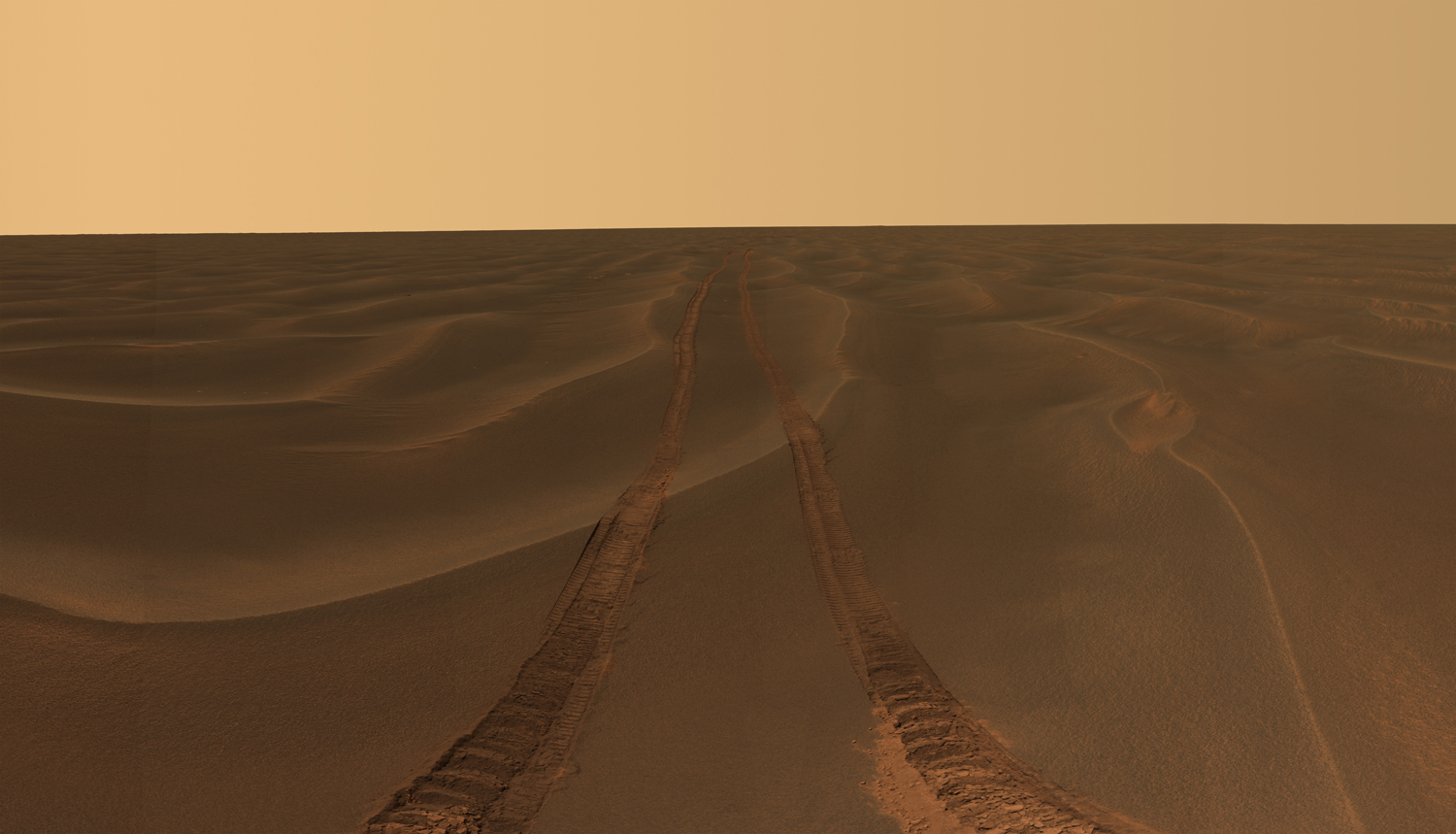
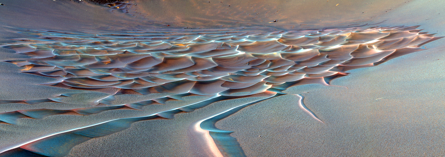
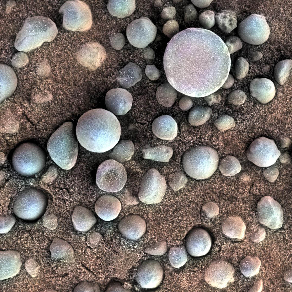
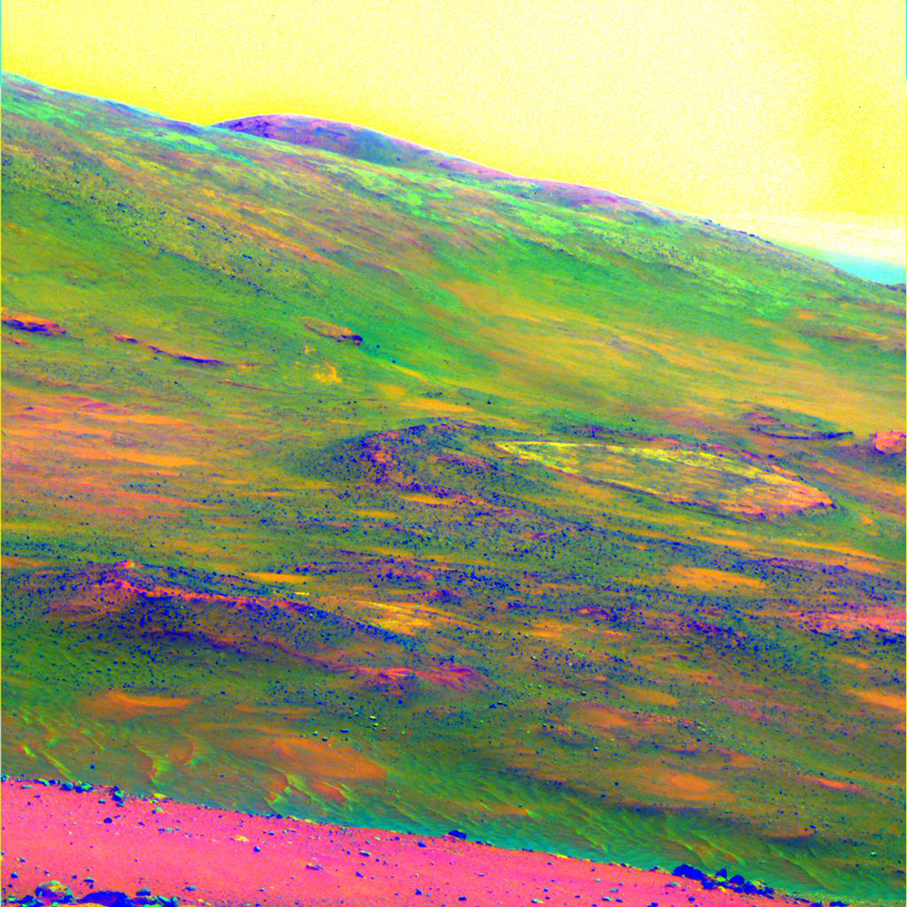
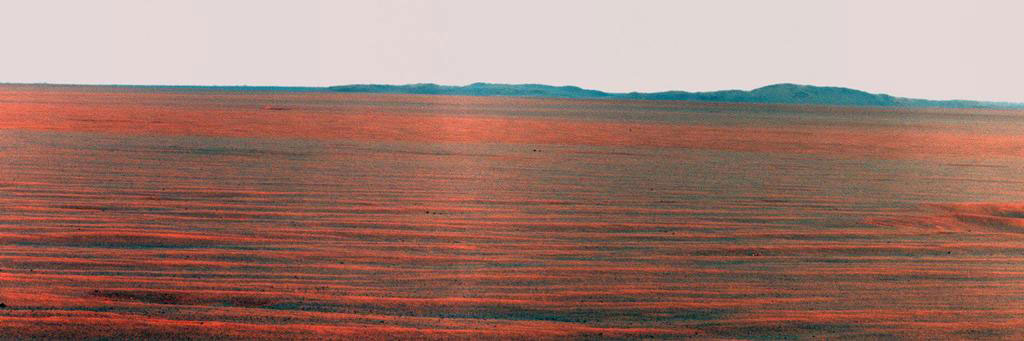
PHOTOS: The Most Beautiful Panoramas and Mosaics From Opportunity’s Decade on Mars

Rover tracks disappear toward the horizon like the wake of a ship across the desolate sea of sand between the craters Endurance and Victoria on the Meridiani Plains.
Rover tracks disappear toward the horizon like the wake of a ship across the desolate sea of sand between the craters Endurance and Victoria on the Meridiani Plains. NASA— JPL-Caltech / Cornell University
The Mars Rover Spirit took this sublime view of a sunset over the rim of Gusev Crater, about 80 kilometers (50 miles) away.
The Mars Rover Spirit took this sublime view of a sunset over the rim of Gusev Crater, about 80 kilometers (50 miles) away. NASA—JPL-Caltech / Texas A&M / Cornell
A false-color image of Endurance Crater.
A false-color image of Endurance Crater. In this image, tendrils of sand less than 3.3 ft (1 m) high extend from the main dune field toward the rover. Dunes are a common feature across the surface of Mars. Before the rover headed down to the dunes, mission managers first established whether the slippery slope that led to them was firm enough to ensure a successful drive back out of the crater. Otherwise, the dune field would become a sand trap. NASA—JPL-Caltech / Cornell University
Tiny spherules pepper a sandy surface in this 3-centimeter (1.2-inch) square view of the Martian surface.
Tiny spherules, photographed by Opportunity, pepper a sandy surface in this 1.2-in (3 cm) square view of the Martian soil. Nicknamed "blueberries" by mission scientists, the little pellets are actually hematites, an iron oxide typically formed in standing water—of which Mars once had plenty.NASA—JPL-Caltech / Cornell / USGS / Cathy Weitz
Spirit obtained this view of the area called Home Plate while parked atop Husband Hill.
Spirit obtained this view of the area called Home Plate while parked atop a formation called Husband Hill. The colors emphasize differences in rock weathering. A large dust devil appears as the V-shaped discoloration in the sky at the top right.NASA—JPL-Caltech / Cornell University
NASA's Mars Exploration Rover Opportunity used its panoramic camera to record the East Rim of Endeavor Crater, on October 31, 2010.
The Opportunity rover used its panoramic camera to record the East Rim of Endeavor Crater, on October 31, 2010. The view is presented in false color to make differences in surface materials more visible. A portion of Endeavour Crater's eastern rim, nearly 19 miles (30 km) distant, is visible.NASA—JPL-Caltech / Cornell
NASA's Mars Exploration Rover Spirit acquired this false-color image after using the rock abrasion tool to brush the surfaces of rock targets informally named "Stars" (left) and "Crawfords" (right).
NASA's Spirit rover acquired this false-color image after using its abrasion tool to brush the surfaces of rock targets informally named "Stars" (left) and "Crawfords" (right). Small streaks of dust extend for several centimeters behind the chips and pebbles in the dusty soil. NASA—JPL-Caltech / USGS / Cornell University
The piece of metal with the American flag on it is made of aluminum recovered from the site of the World Trade Center towers in New York City. It serves as a cable guard for Spirit’s rock abrasion tool as well as a memorial to the victims of the September 11, 2001, terrorist attacks. Opportunity has an identical piece.Image Number: PIA05221Credit: NASA/JPL-Caltech/Cornell University
Rover tracks disappear toward the horizon like the wake of a ship between the craters Endurance and Victoria on the Meridiani Plains. Opportunity took the image while stuck in the sand ripple dubbed Purgatory for over a month. This panorama (only partly shown here) was named Rub Al Khali after the “Empty Quarter” in the Arabian Desert.NASA—JPL-Caltech / Cornell University

More Must-Reads From TIME

Write to Jeffrey Kluger at jeffrey.kluger@time.com