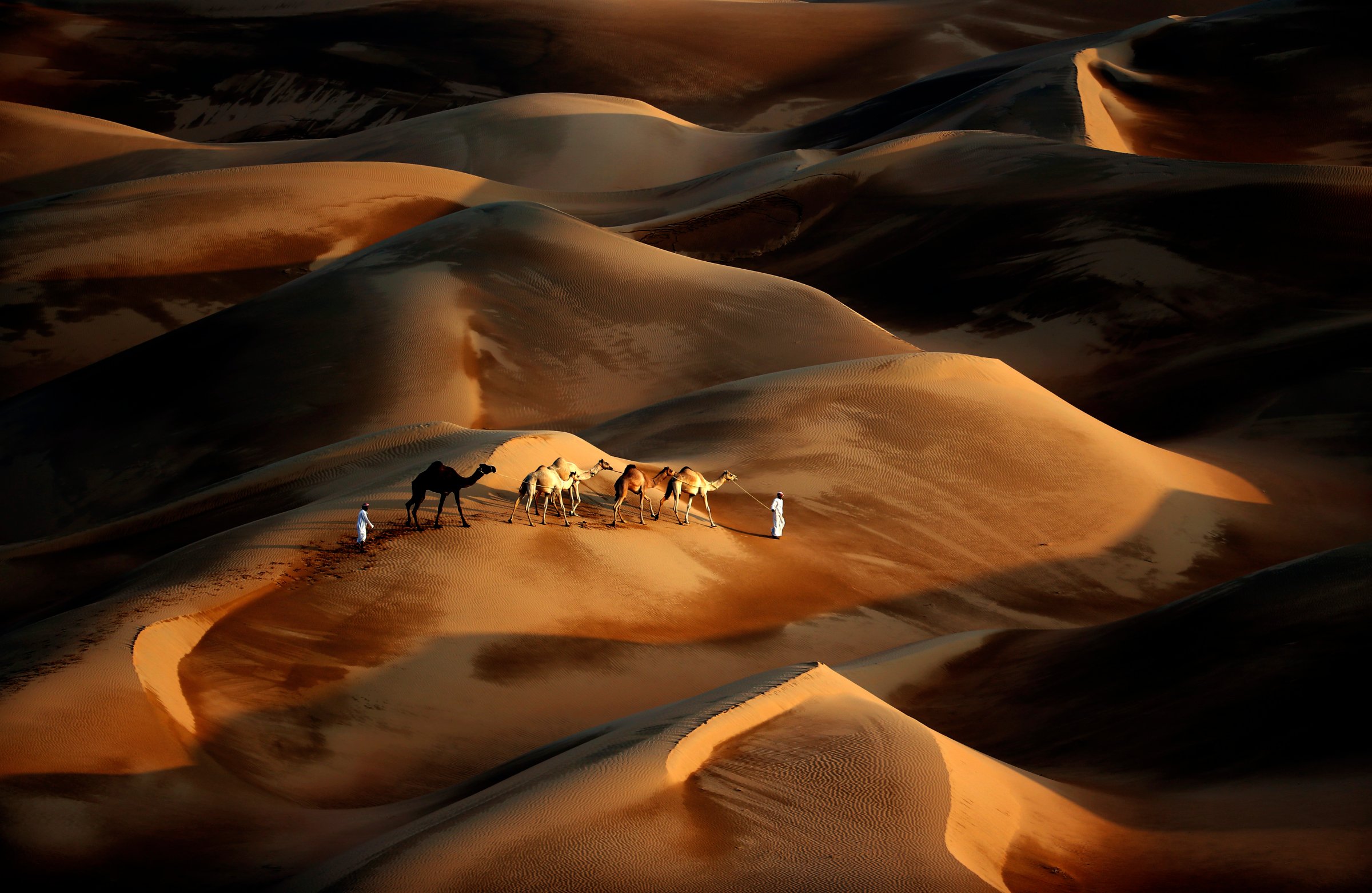
For adventurous types who are short on sunscreen, Google Maps has just extended its street view deep into the Arabian Desert.
The trek cuts a narrow path through the Liwa desert, 150 kilometers southwest of Abu Dhabi, winding through an endless stretch of sand dunes measuring upwards of 40 meters in height. But the coolest feature is possibly the view straight down to the ground, where a silhouette of Google’s streetview camera can be seen mounted atop a camel’s back.
“We hope this collection gives you a glimpse of what it may be like to travel the desert as caravan merchants have for the past 3000 years,” Google wrote in a statement. Well, provided you can ignore the state-of-the-art 3D camera casting its shadow across the sand.
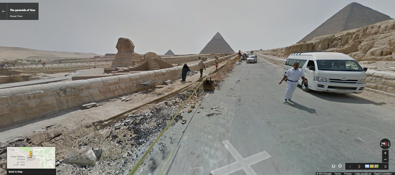
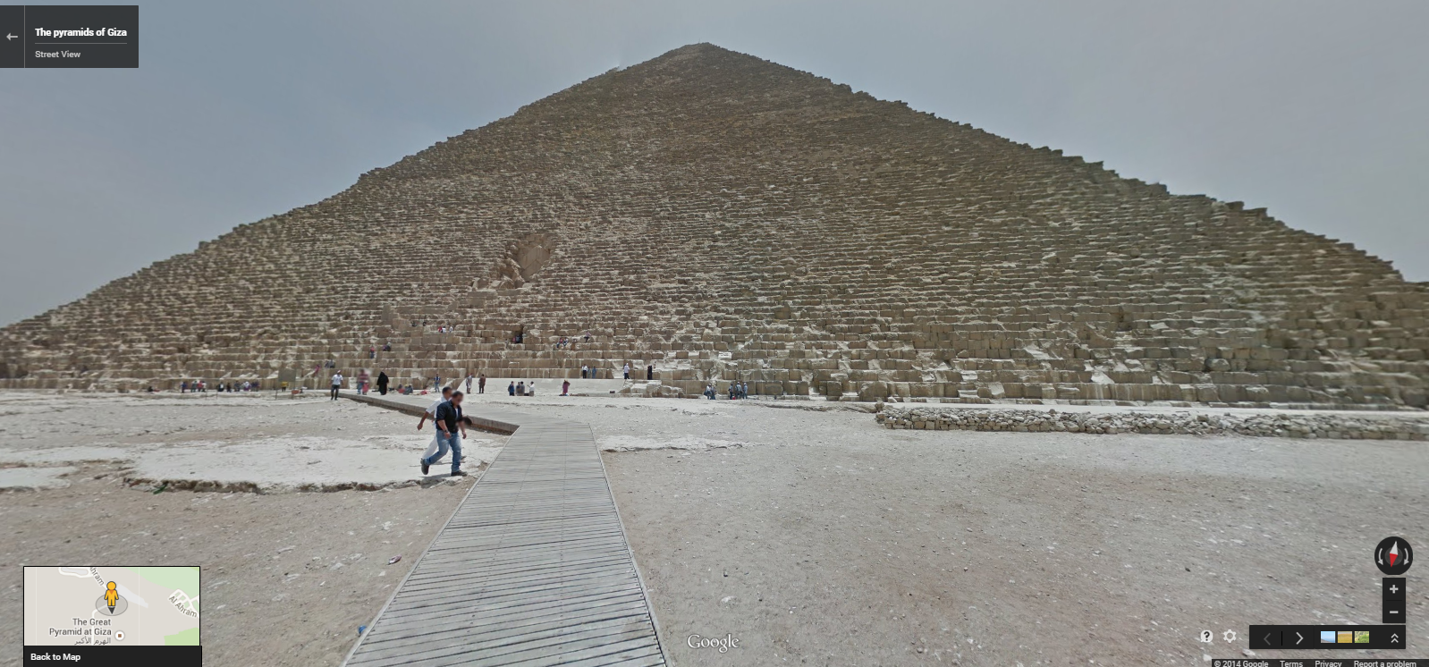
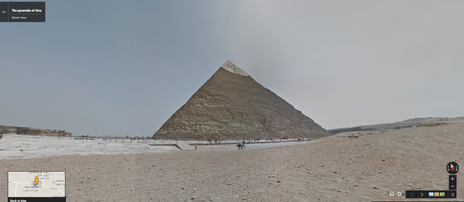
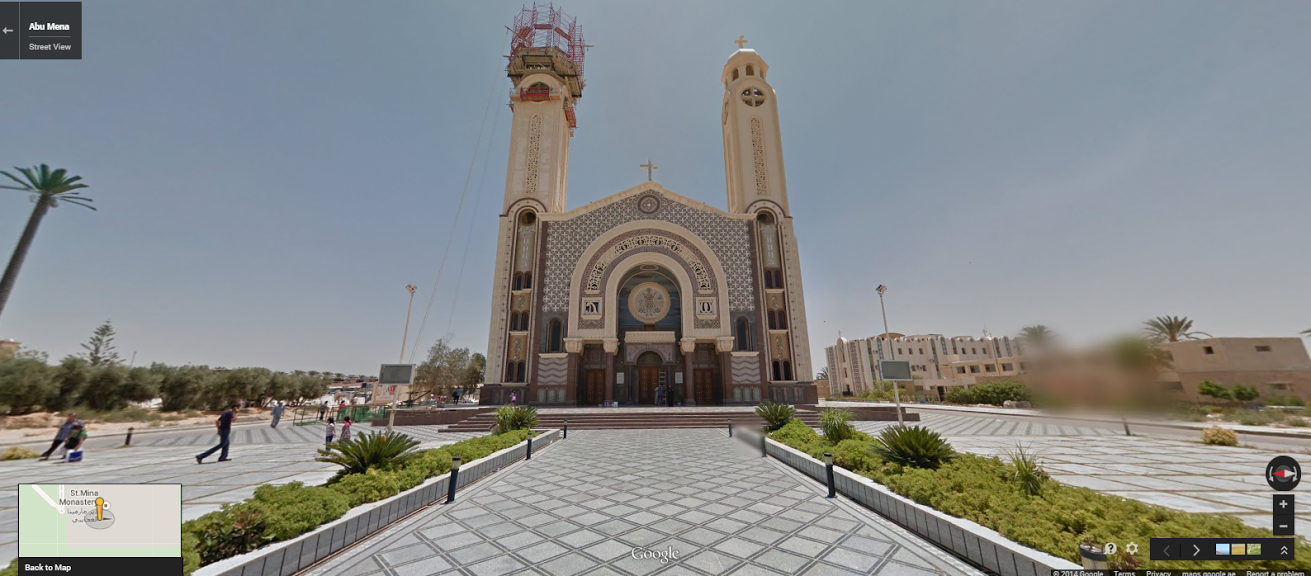
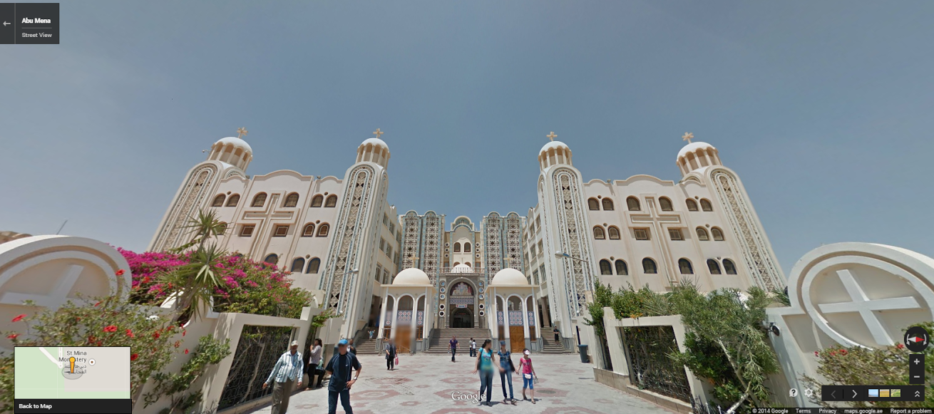
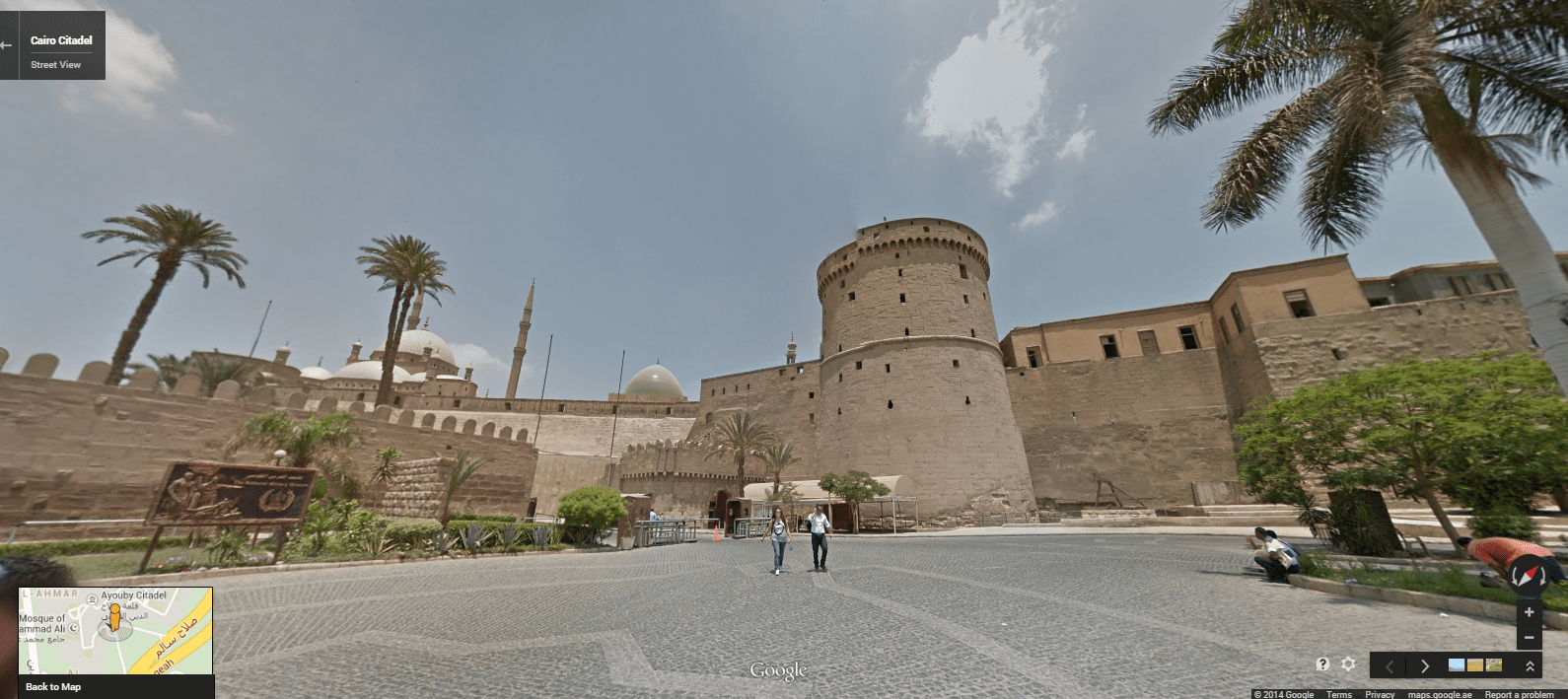
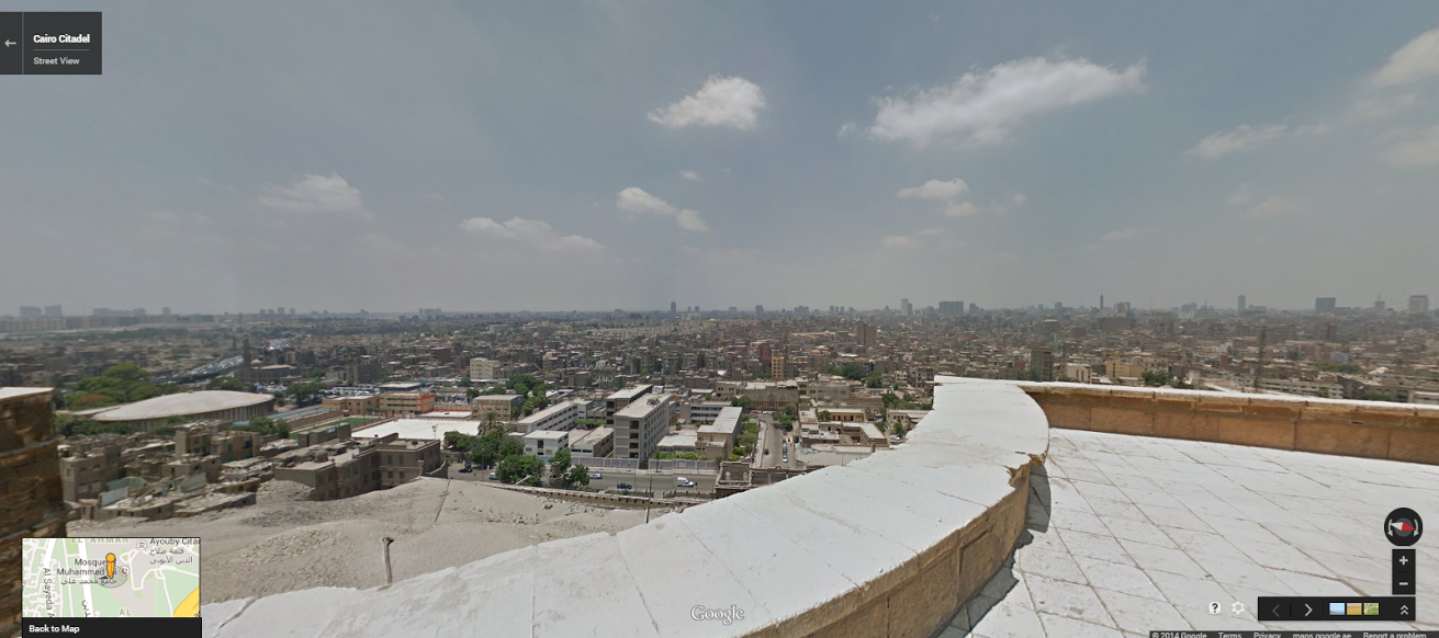
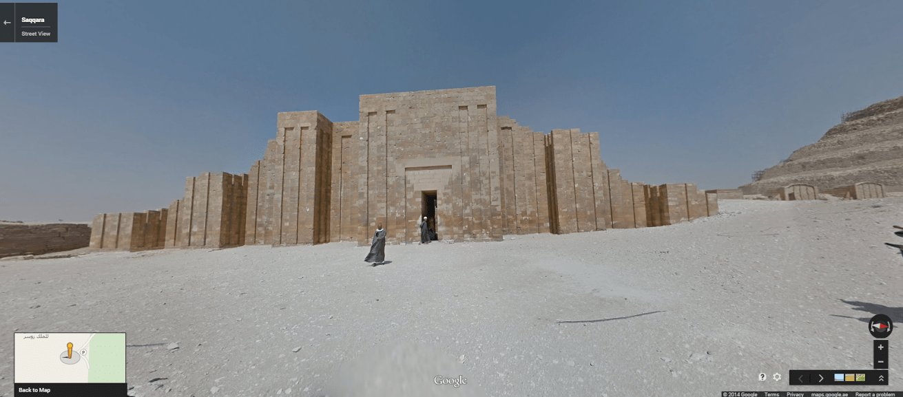
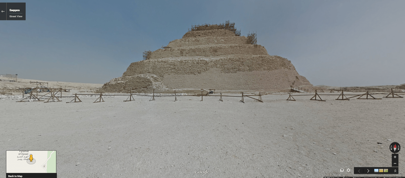
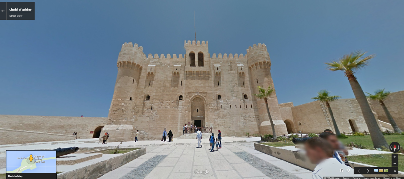
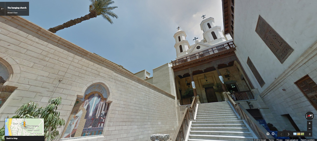
Google Street View Captures the Monuments of Ancient Egypt
More Must-Reads from TIME
- Donald Trump Is TIME's 2024 Person of the Year
- Why We Chose Trump as Person of the Year
- Is Intermittent Fasting Good or Bad for You?
- The 100 Must-Read Books of 2024
- The 20 Best Christmas TV Episodes
- Column: If Optimism Feels Ridiculous Now, Try Hope
- The Future of Climate Action Is Trade Policy
- Merle Bombardieri Is Helping People Make the Baby Decision
Contact us at letters@time.com