
Arctic sea ice levels last winter recorded their lowest peak since satellite monitoring began in 1979, U.S. scientists said Thursday.
According to the University of Colorado’s Snow and Ice Data Center, Arctic ice levels crowned on Feb. 25 with a maximum extent of 14.54 million sq. km — 130,000 sq. km less than the previous record low set in 2011, and 1.1 million sq. km lower than the 1981-2010 recorded average.
The drop was also widespread, with below-average ice levels recorded everywhere except for the Labrador Sea between Greenland and Canada and the Davis Strait slightly further north.
The data center did say that a late season surge in ice growth is still conceivable, but unlikely to match the winter’s high-point. Meaning this year’s Feb. 25 peak date was two weeks earlier than the average. The earliest ice-level maximum was in 1996, reaching its ceiling only one day earlier on Feb. 24.
Recent weather patterns were partly to blame for the melting ice, with an unusual jet stream bringing unseasonably warm temperatures to the Pacific side of the Arctic.
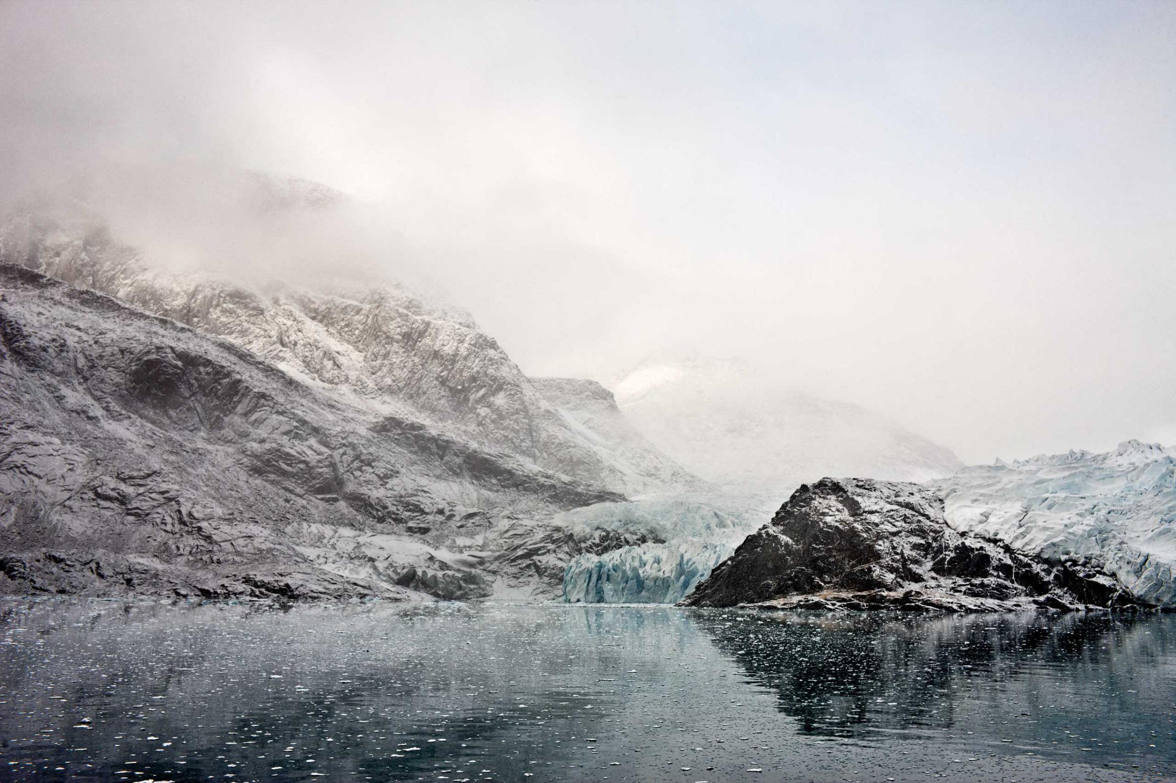
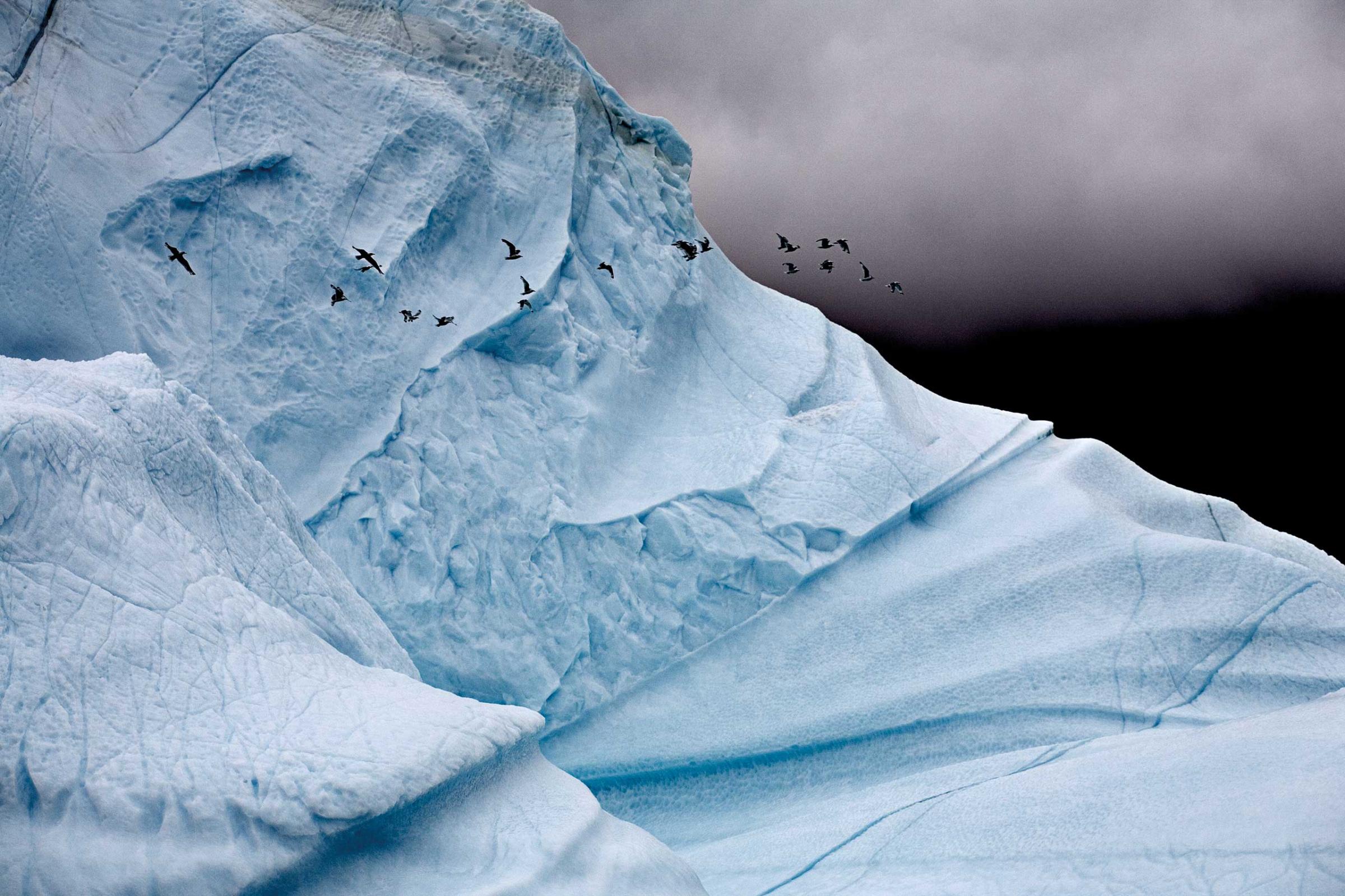
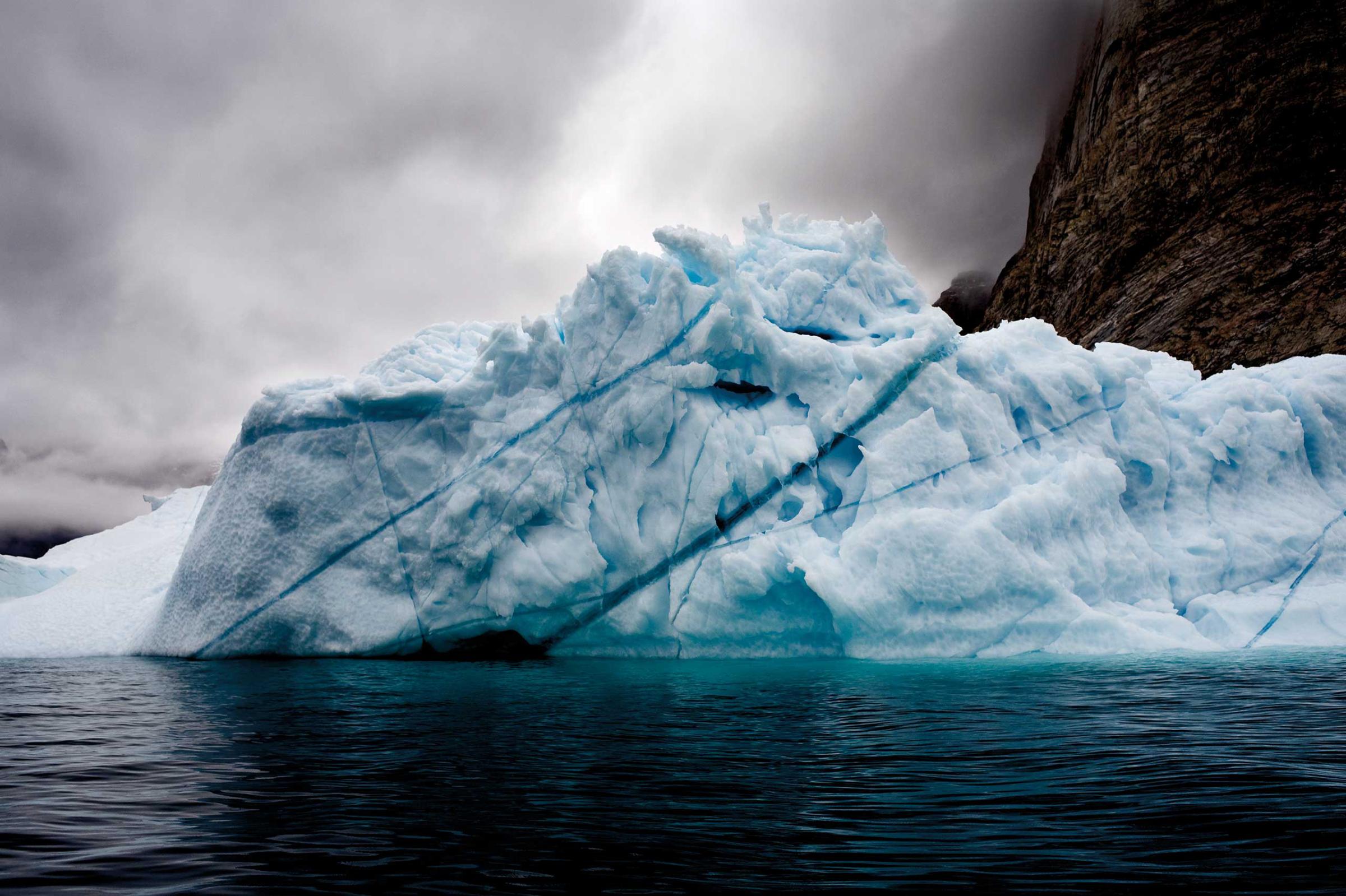
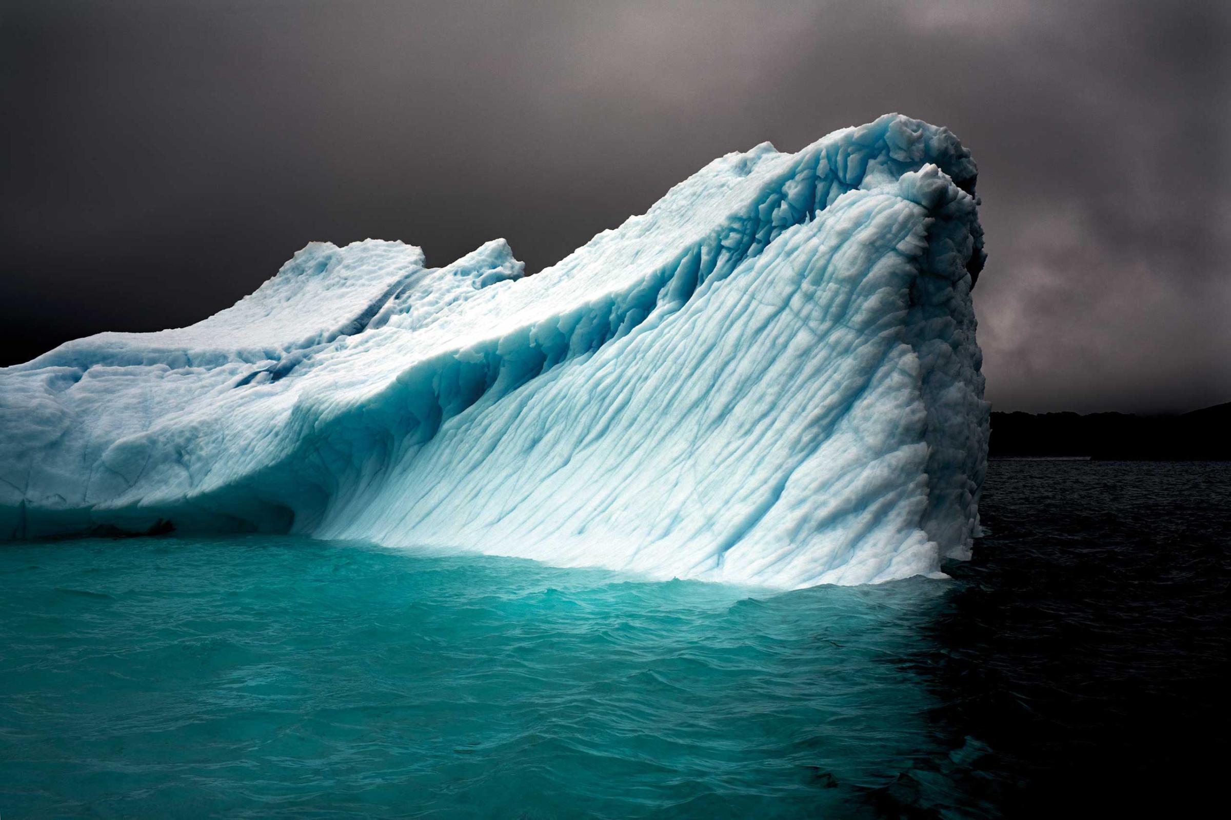
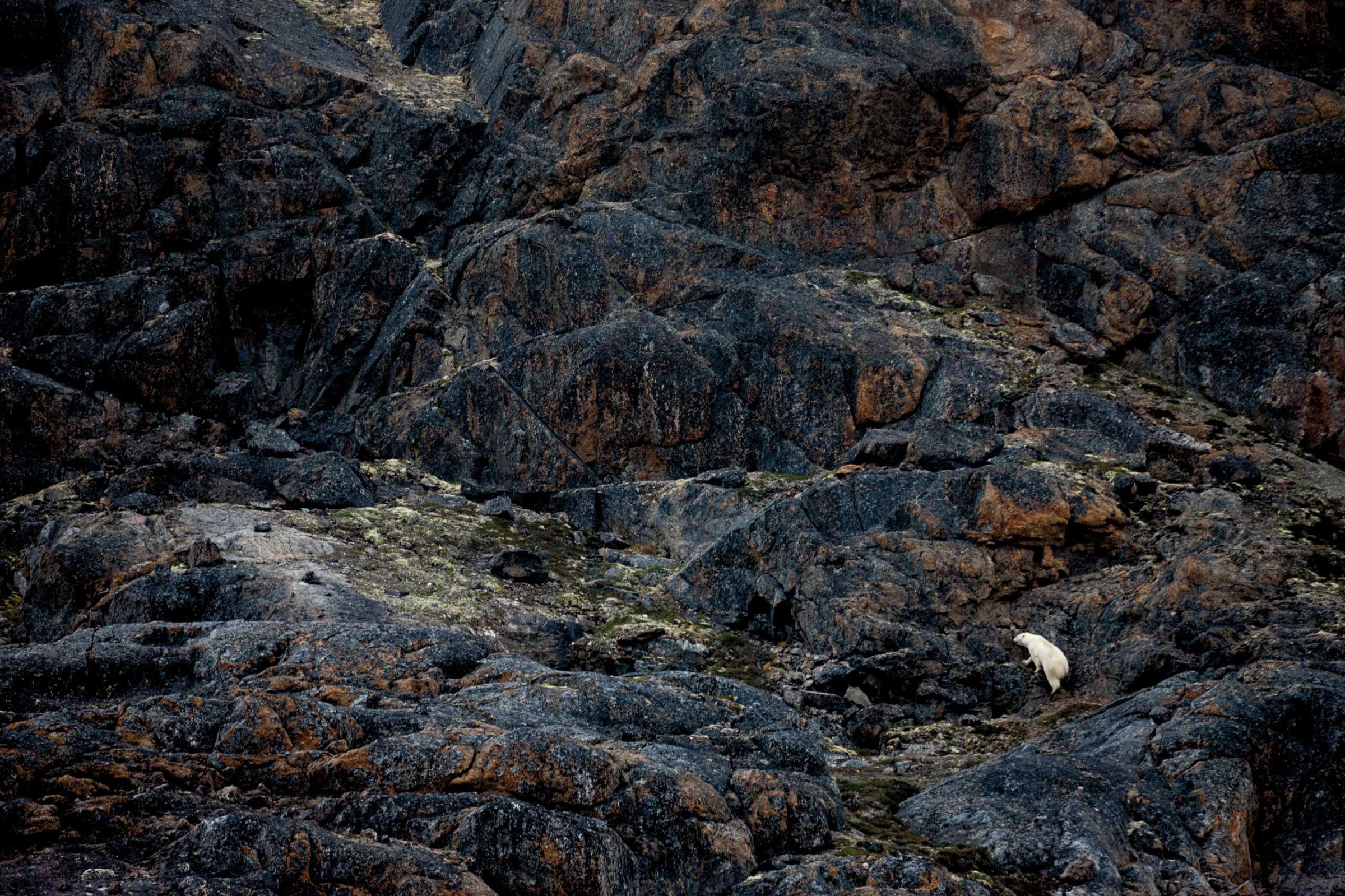
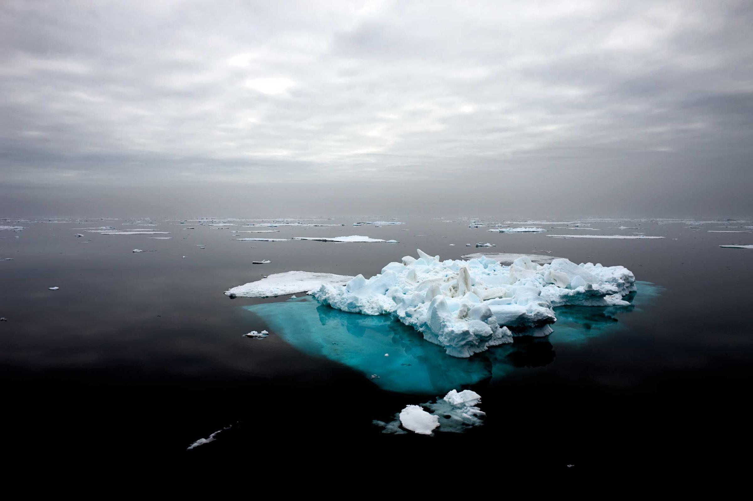
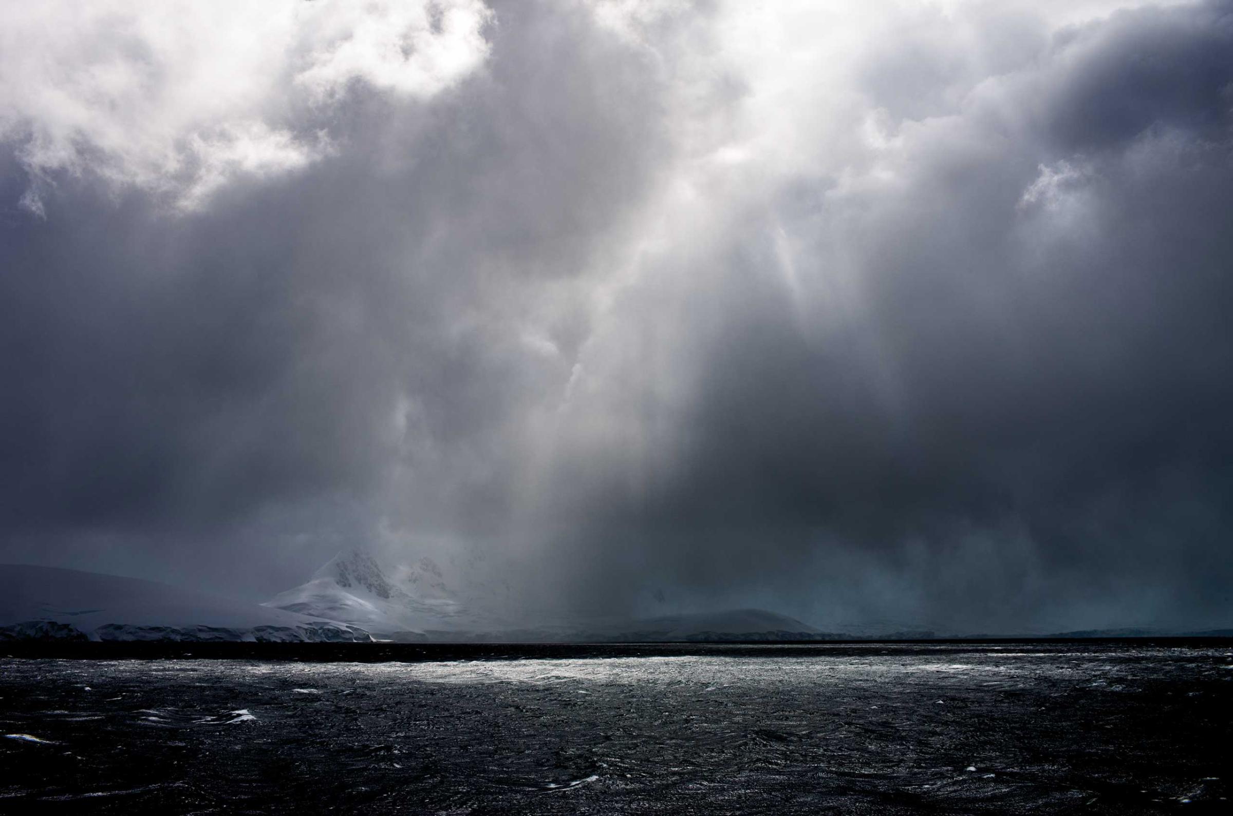
Melting Away: One Photographer's Journey to Preserve the Polar Regions


More Must-Reads from TIME
- Cybersecurity Experts Are Sounding the Alarm on DOGE
- Meet the 2025 Women of the Year
- The Harsh Truth About Disability Inclusion
- Why Do More Young Adults Have Cancer?
- Colman Domingo Leads With Radical Love
- How to Get Better at Doing Things Alone
- Michelle Zauner Stares Down the Darkness
Contact us at letters@time.com