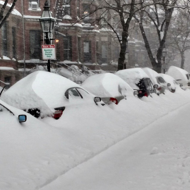
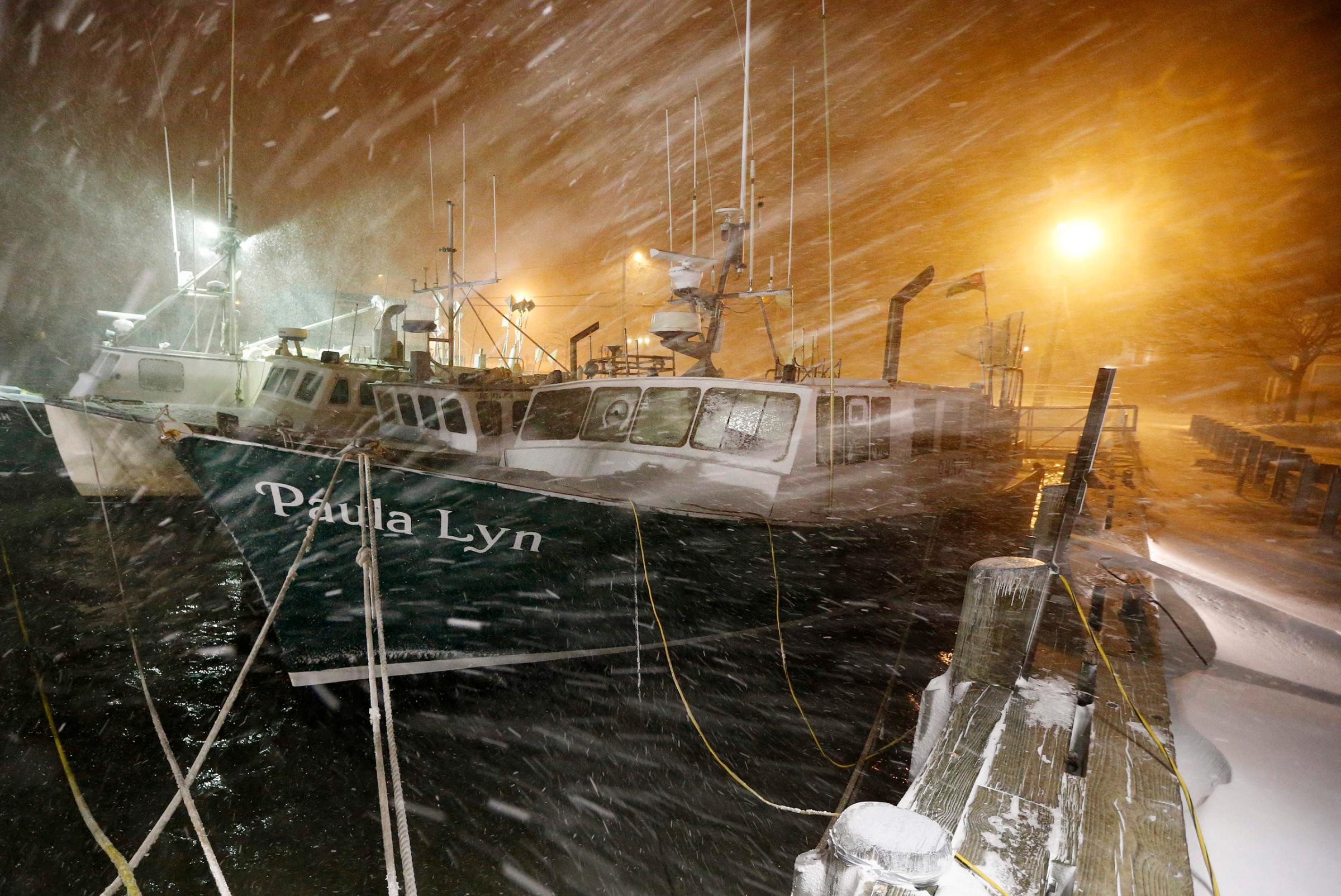
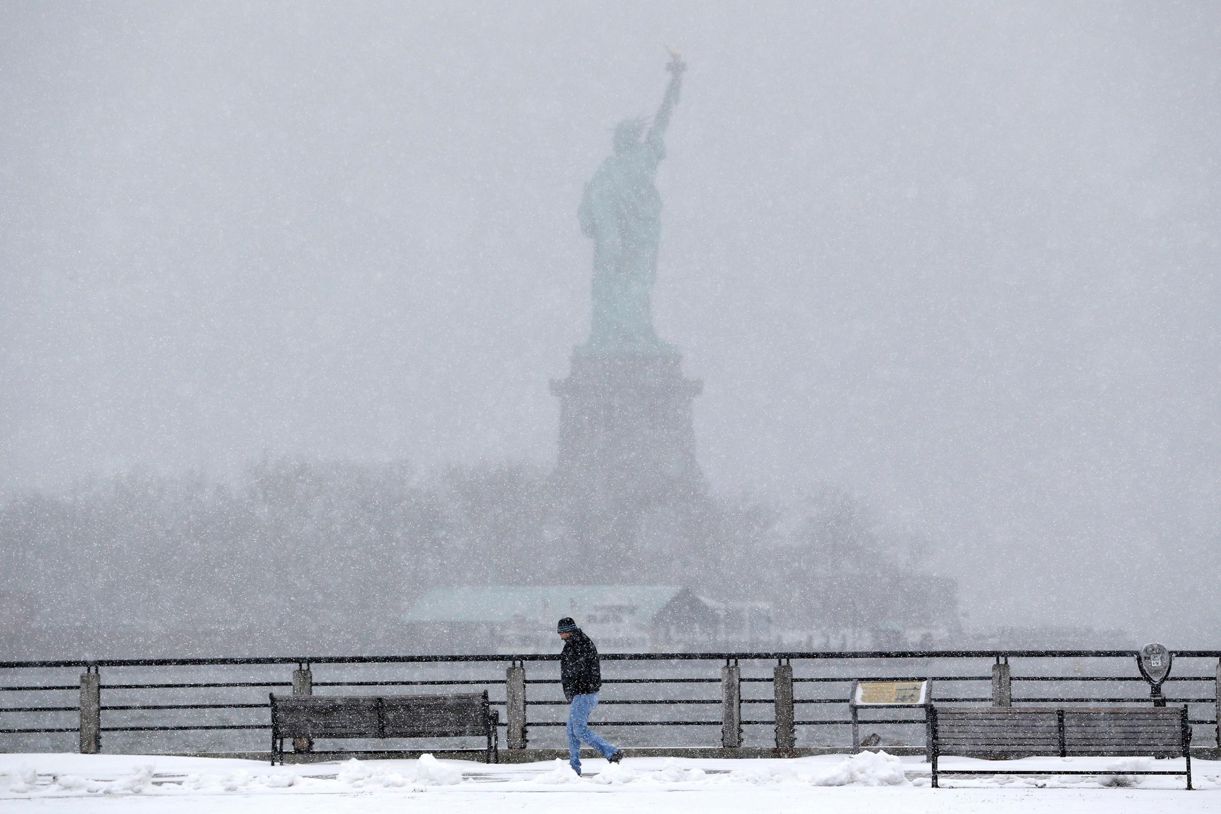
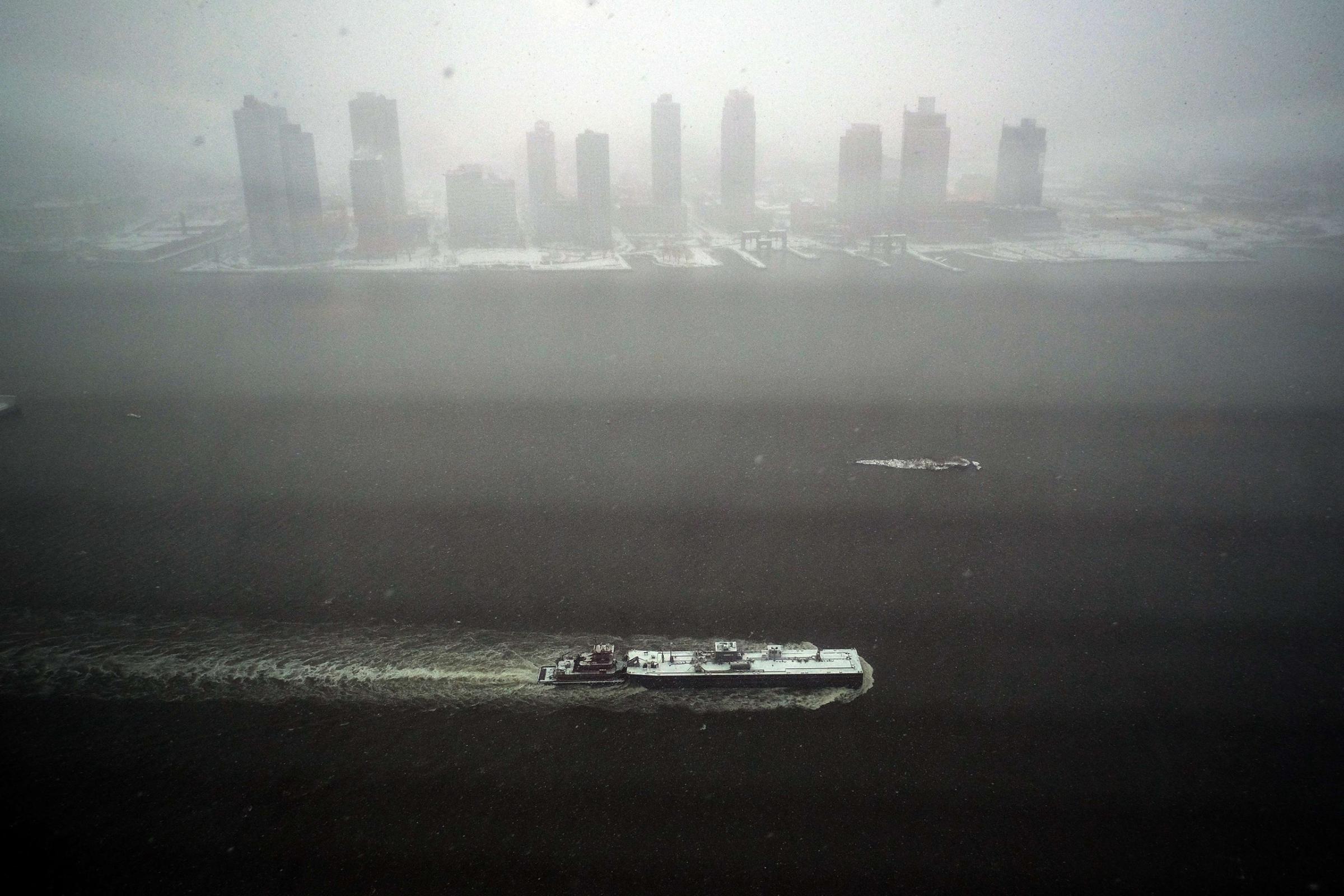
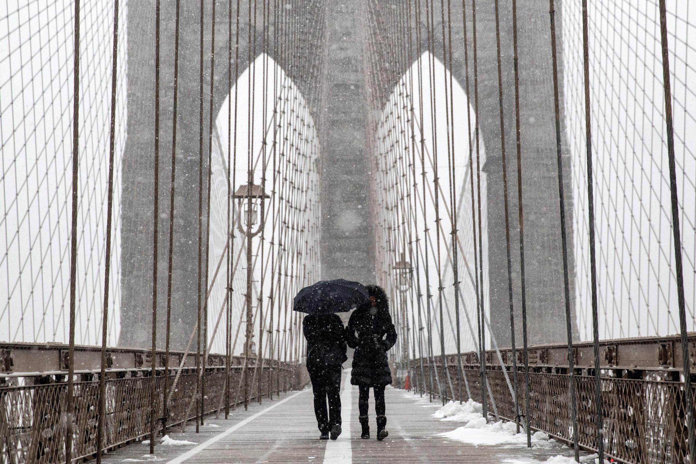
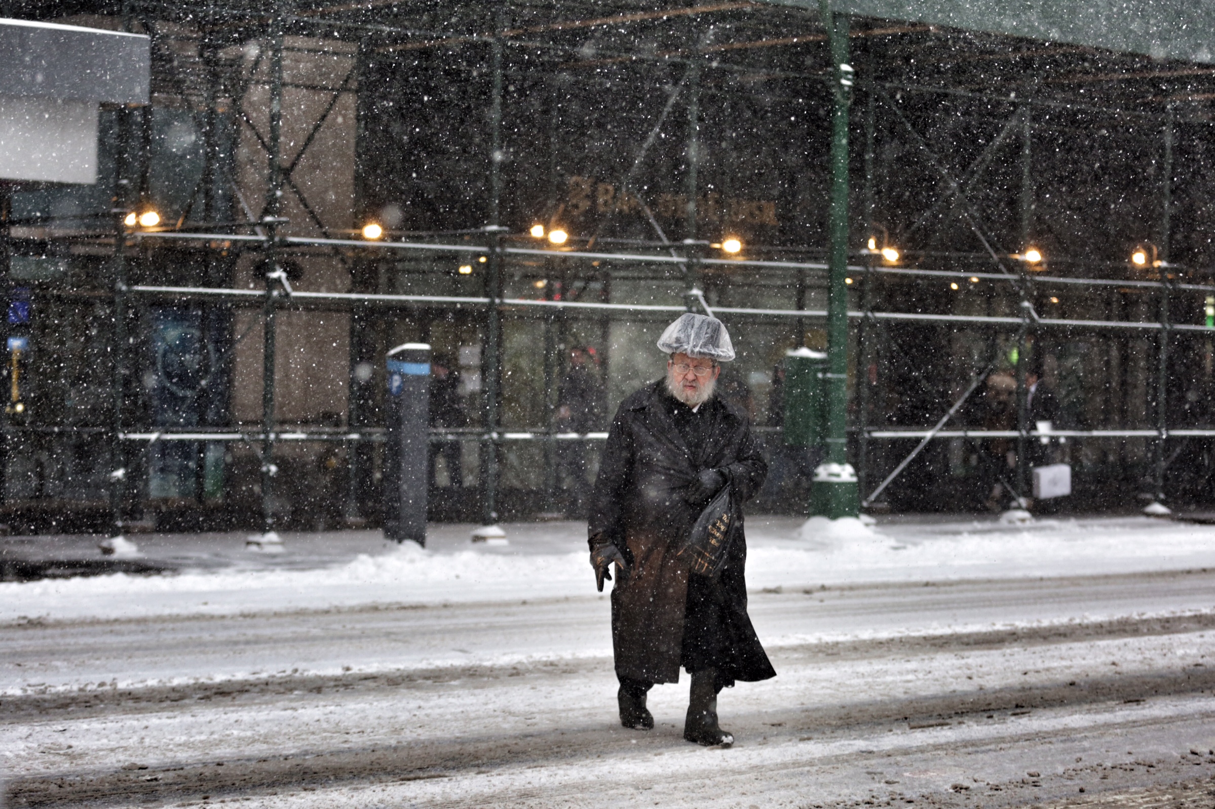
Mother Nature took a huge swing at New York City and missed by miles. And while the Blizzard of 2015 turned into the Fizzard of 2015 for the Big Apple, just up the coast, Providence and Boston got walloped as scheduled. Beantown conspiracy theorists are wondering: Did this blizzard get bribed?
Not quite, it just got shoved a few miles to the east at the last minute, which changes everything as storms move up the Atlantic coast. That more easterly track is exactly what computer models had been predicting until three days before storm hit—but a critical shift by one model moved the storm track a little more to the west, which triggered the snowpocalyptic forecast. “Before that, the models all took the storm out to sea,” says Joel Gratz, a meteorologist and CEO of Open Snow, which makes detailed snow forecasts for skiers. “That is a something to be cautious about when they pick something out so late in the game.”
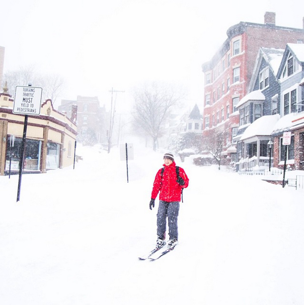
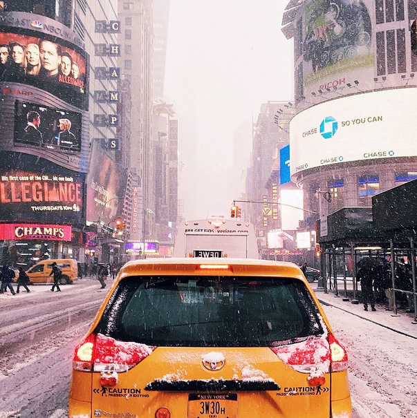
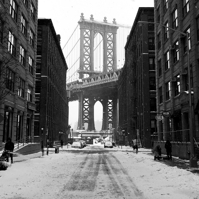
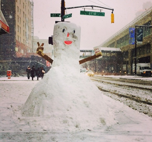
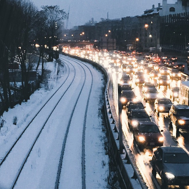
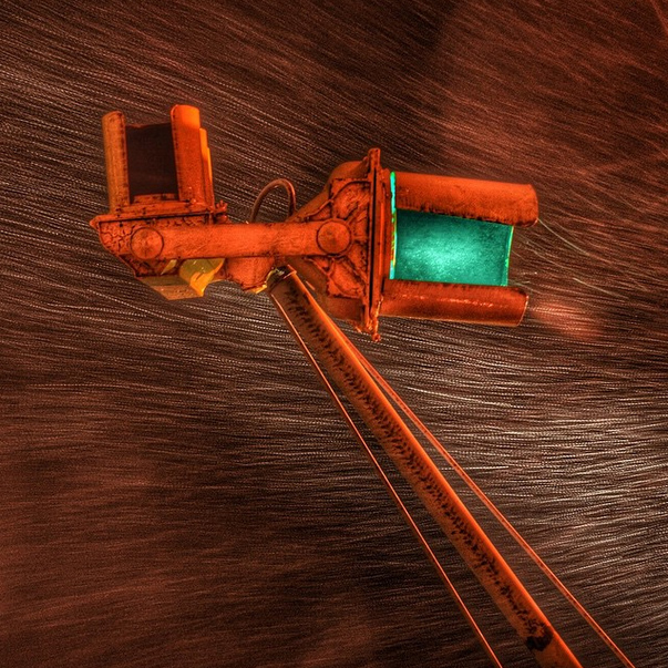
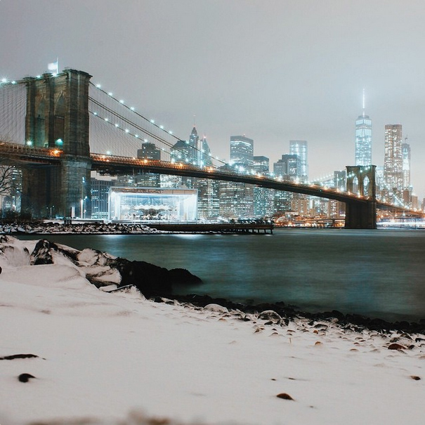
Blizzard 2015: How New Yorkers and New Englanders Shared Photos



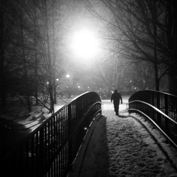
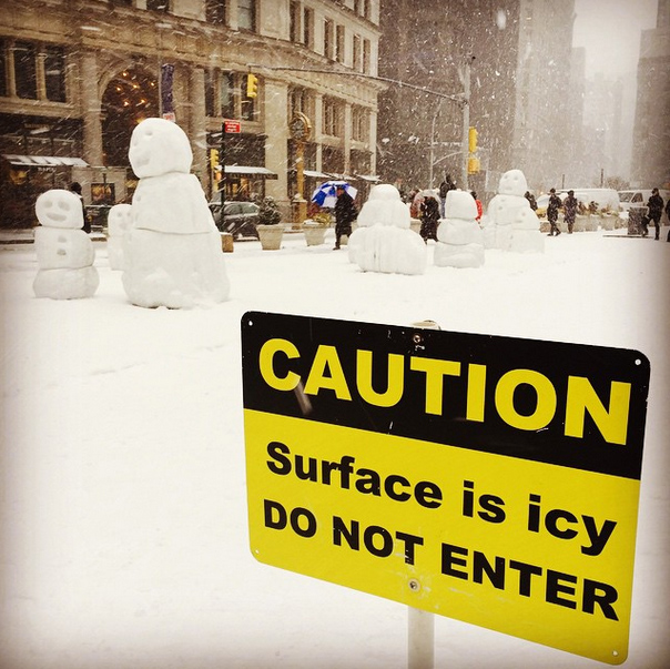

Why did the models goof? There are four weather models used by meteorologists around the world: the American Global Forecast System, the European model, called the European Center for Medium-Range Weather Forecasts (ECMWF), the UKMET model from the U.K., and the Canadian model. The European model had shifted the track west and it has been the best predictor, with the UKMET model second and the American third. Late in the game, though, the UKMET model kicked the storm that critical few miles. “Over the weekend, the UKMET model nudged it a little bit further east,” says Gratz. “That just kind of gave me pause when the number two model in the world is pushing the storm a few more miles out to sea.”
The National Weather Service (NWS), on the other hand, kept jacking up the forecast totals even as the models were giving a broad range of snowfall, from six inches to three feet. “NWS’s adjustments were all in the ‘more severe’ category, says Ryan Maue, a research meteorologist at the private firm WeatherBEL. “That’s an ominous signal that suggested NWS had a high-level of confidence in their forecast. However, it was clear at the time that the exact opposite was true—this was a low-confidence solution, meaning the chance of a 30-inch snowfall occurring in NYC required everything to ‘go right’ for the blizzard’s track, intensity, and motion.” Private forecasters, including the Weather Channel, might have been skeptical about the 30-inch forecast, says Maue, but they don’t want to risk sending a mixed message that confuses the public about what to do.
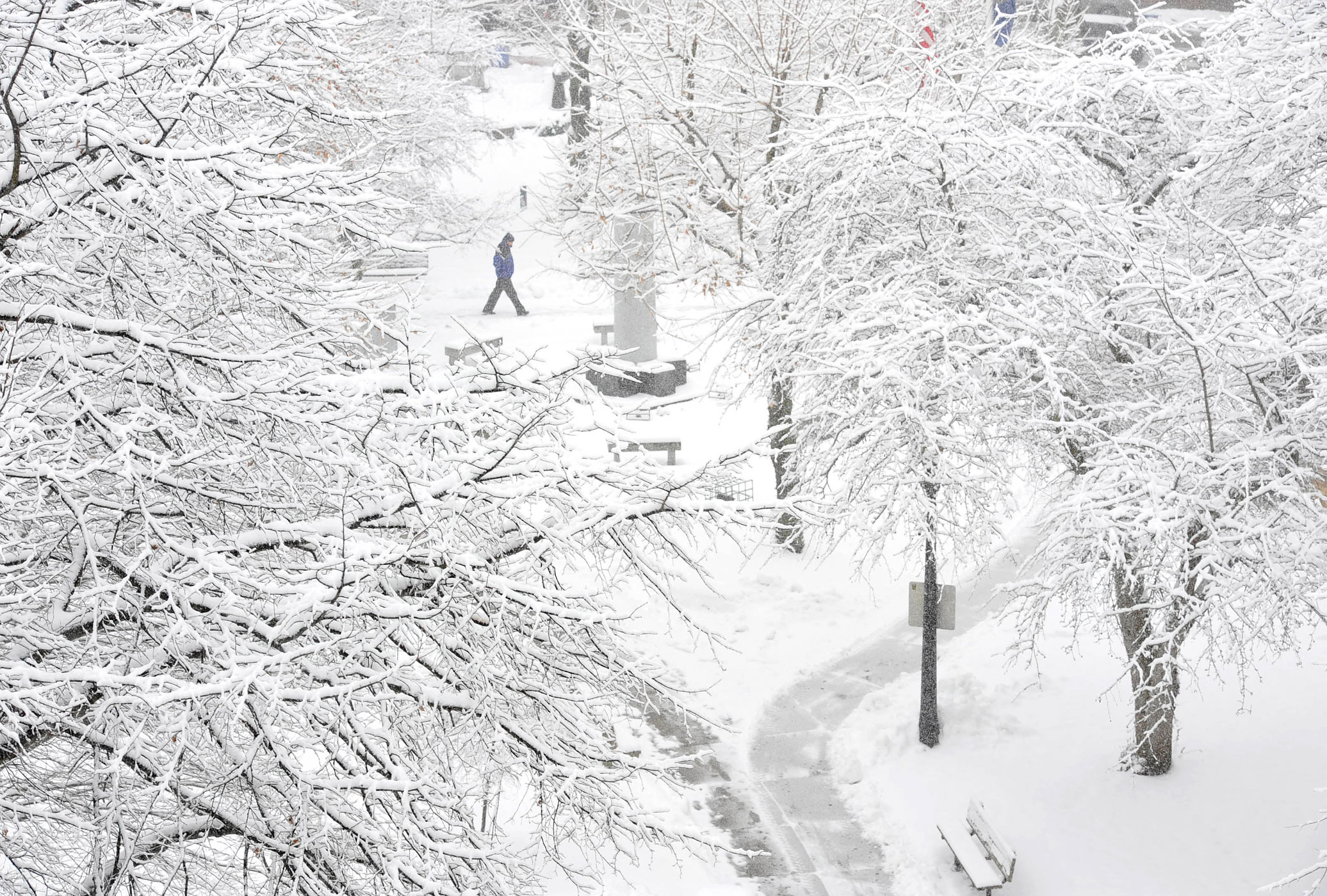
There was never any doubt that New England was going to get nailed, but that was the easier part of the forecast—a lock, says Gratz. It’s the back edge of a storm that carries the most uncertainty. That left forecasters with a bit of a conundrum: follow the models and predict a dire and dangerous storm, or back off a bit, which might lead both officials and civilians to let down their guard at the wrong time.
MORE: Why Blizzards Turn Us Into Irrational Hoarders at the Grocery Store
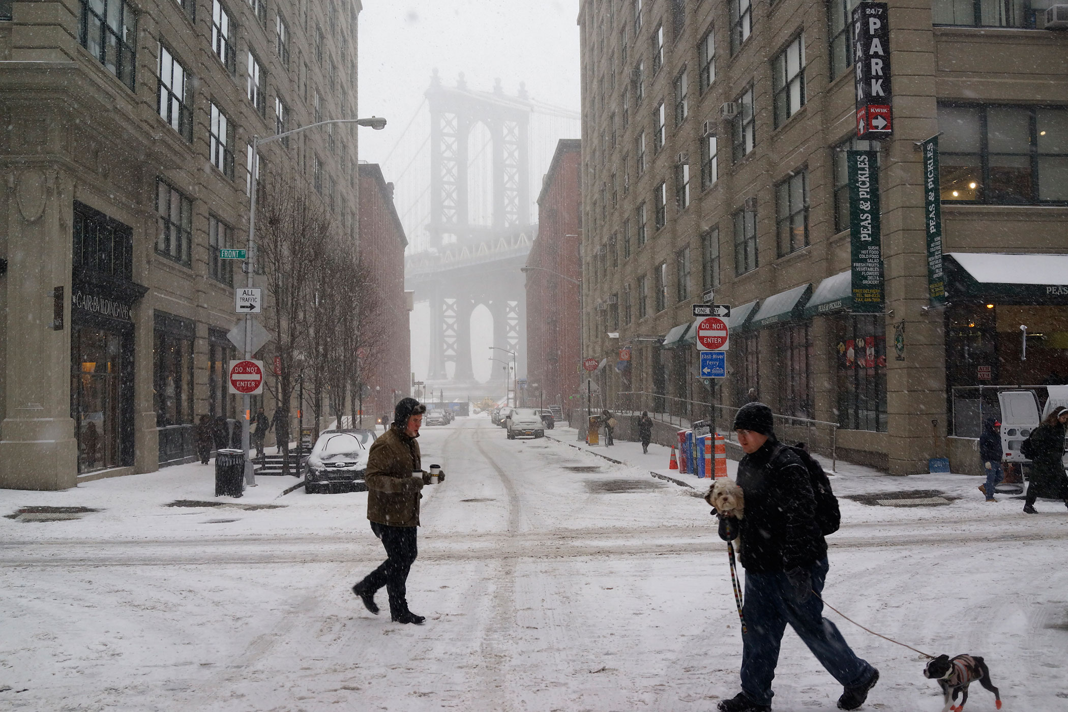
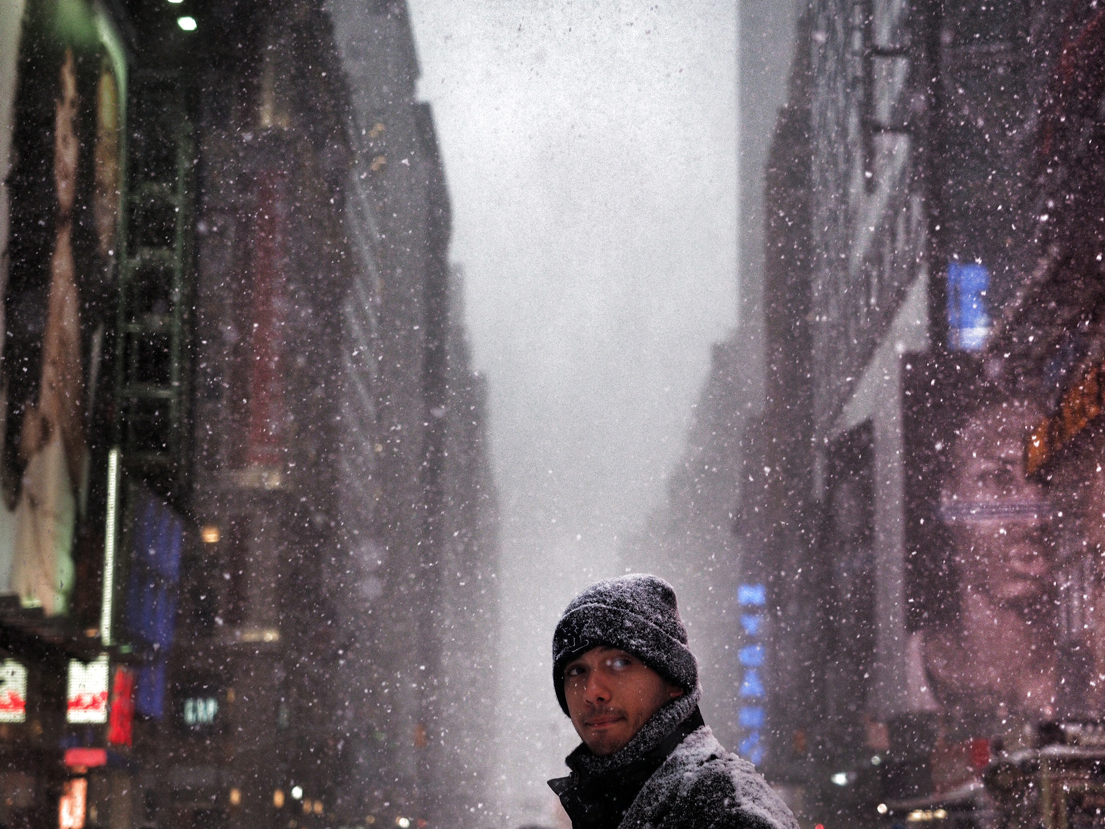
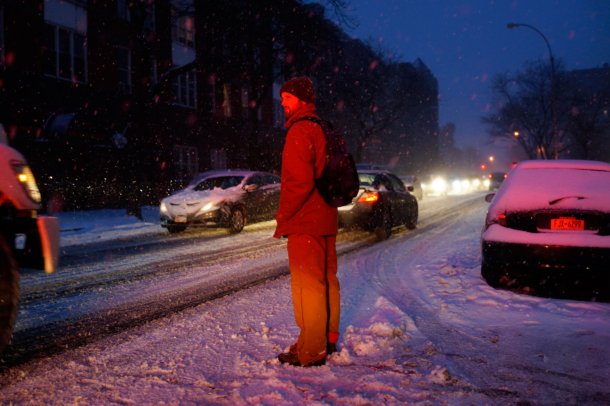
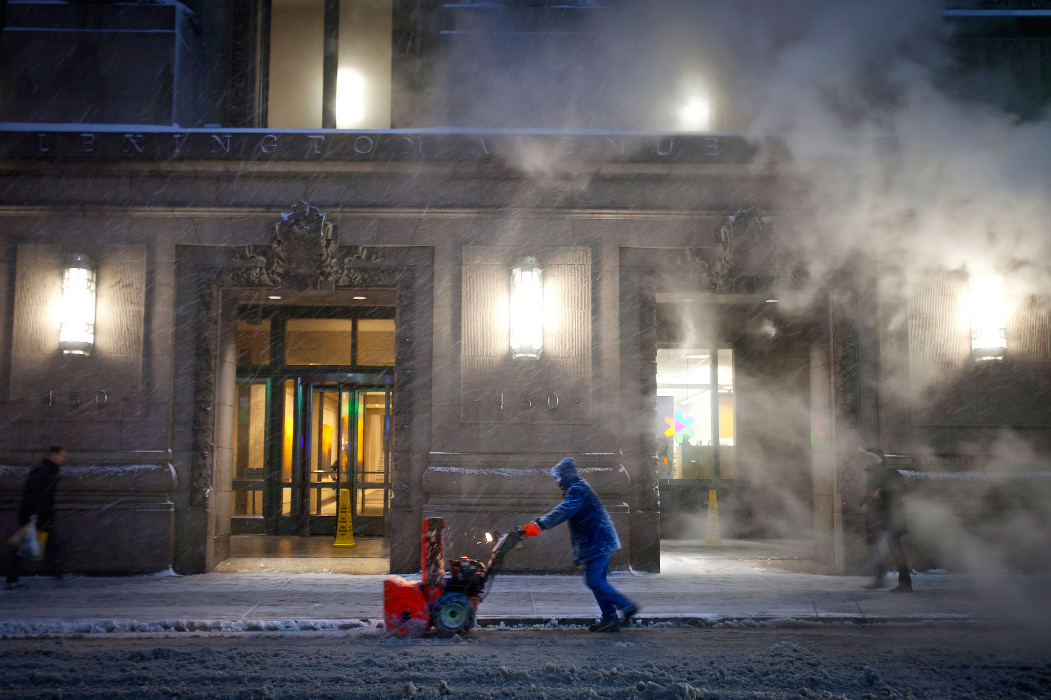
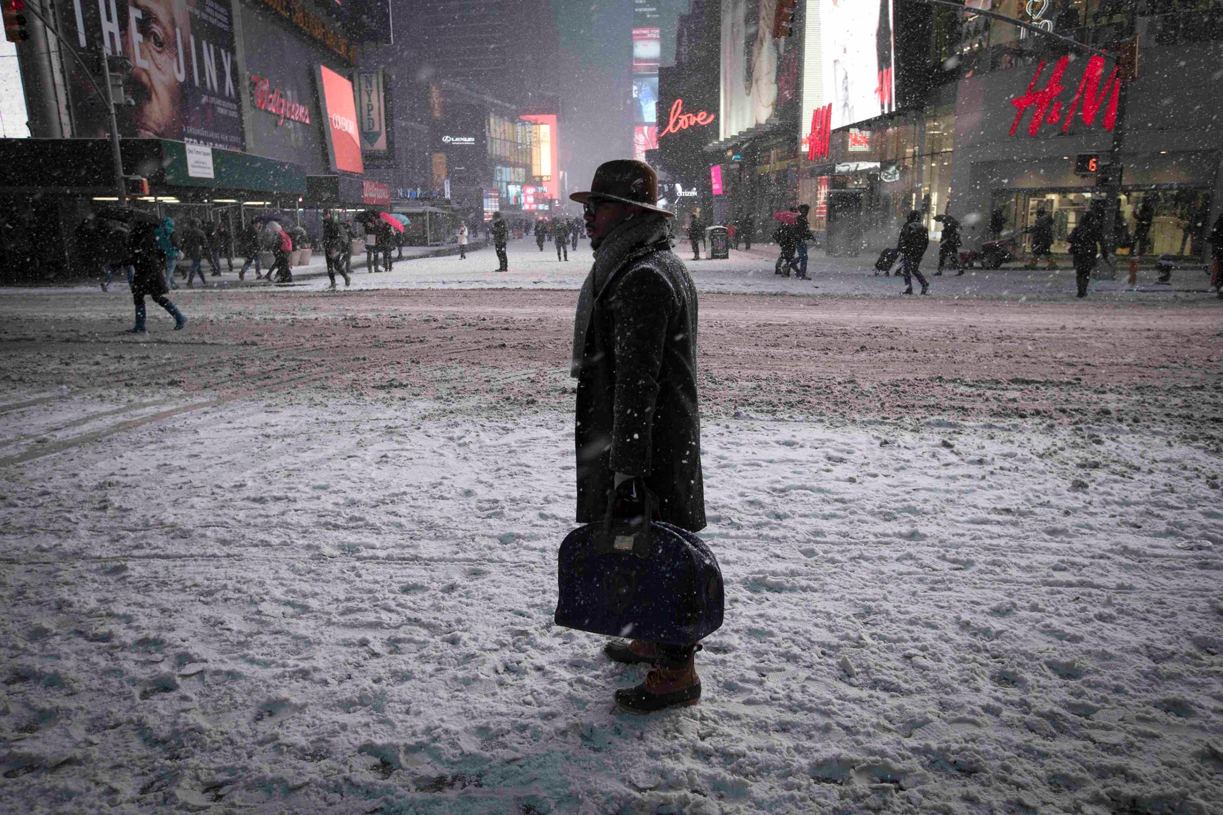
Officials reacted to the fear factor. And, as Maue points out, the NWS absolutely nailed the last catastrophic storm, Hurricane Sandy, which caught some government agencies off guard. So in New York, hundreds of flights were canceled, mass transit shut down, stores closed and people loaded up on necessities, some in a panic state, in anticipation of not going anywhere for a couple of days. But the snow machine turned off at about 10 p.m. Monday night. Central Park ended up with about six inches of snow by Tuesday morning. The NWS’s Gary Szatkoski felt compelled to tweet an apology. “My deepest apologies to many key decision makers and so many members of the general public,” he said. “You made a lot of tough decisions expecting us to get it right, and we didn’t. Once again, I’m sorry.”
If weather is difficult to predict, precipitation is harder and snow even more difficult. The reason is that forecasters not only have to get the storm track right, they also have to nail the temperature, since the temperature influences how snow crystals form, which in turn determines how much snow falls. It’s compounding complexity and Atlantic winter storms have shown no discernible pattern over the decades.
East Coast Readies Itself for Up to 3 Feet of Snow
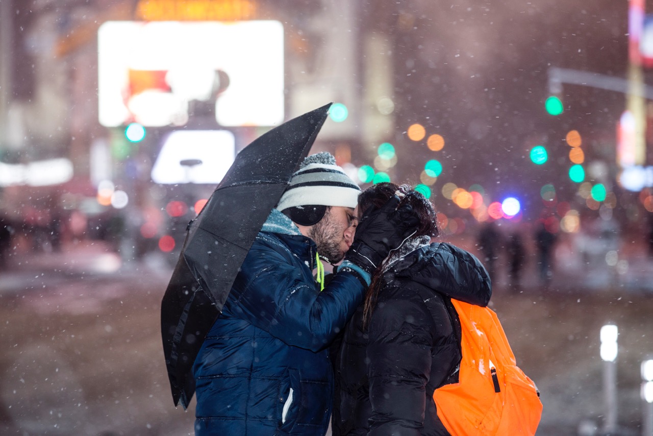
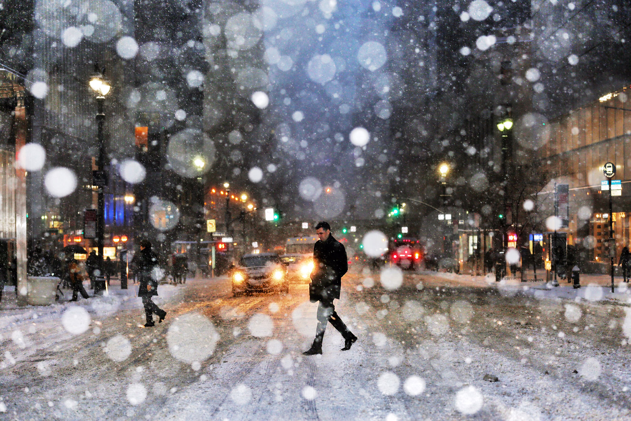

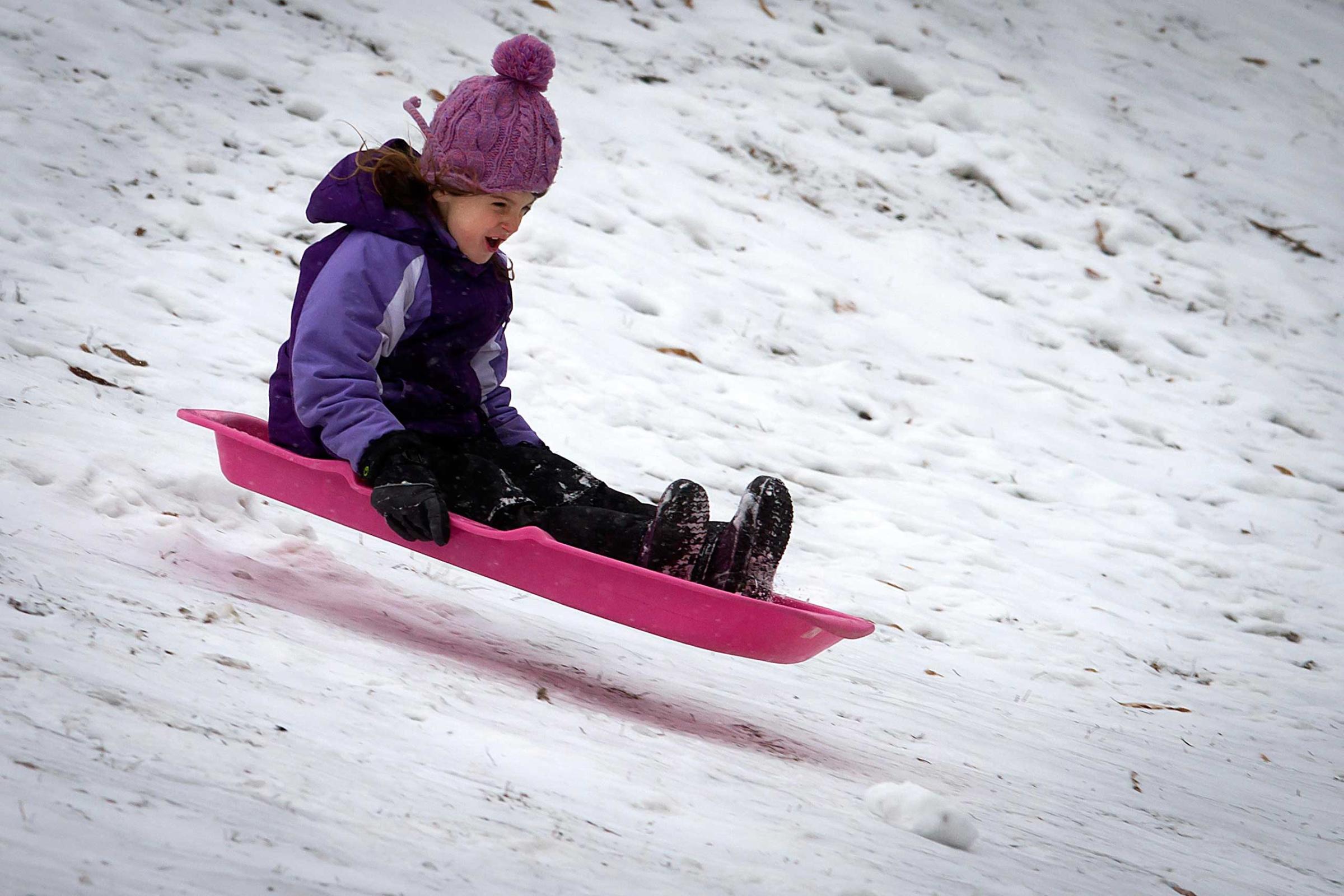

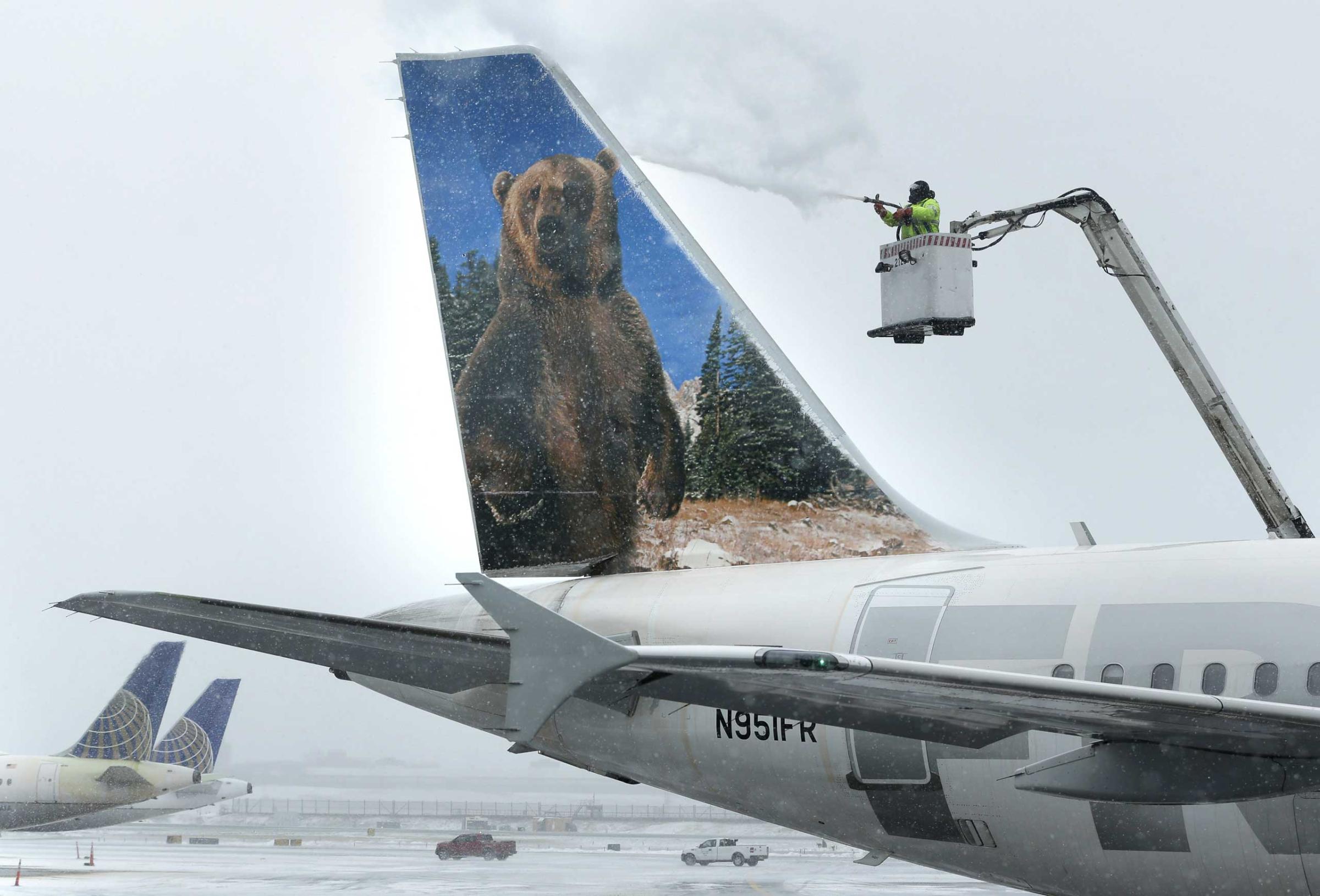
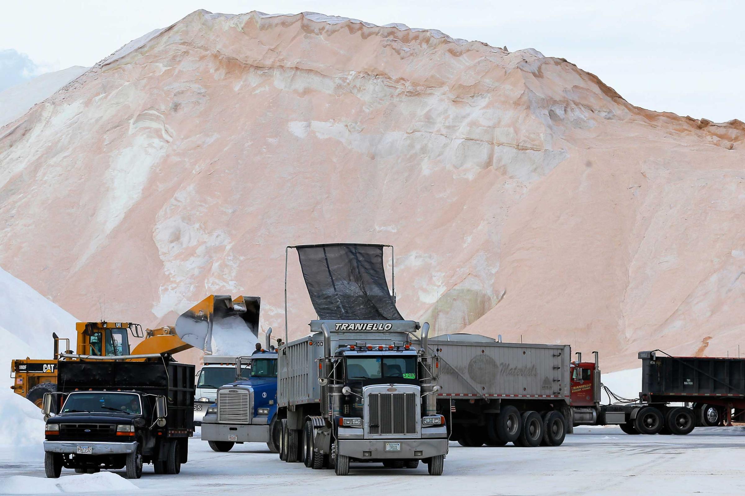
Gratz does admit that there’s another possible reason behind the blown forecasts. When meteorologists see a big storm brewing they get a little too excited about it and want to share their knowledge and forecasting chops.
It’s only natural. Just like the weather.
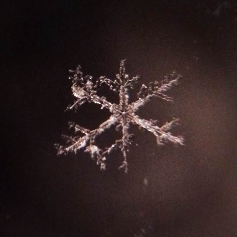
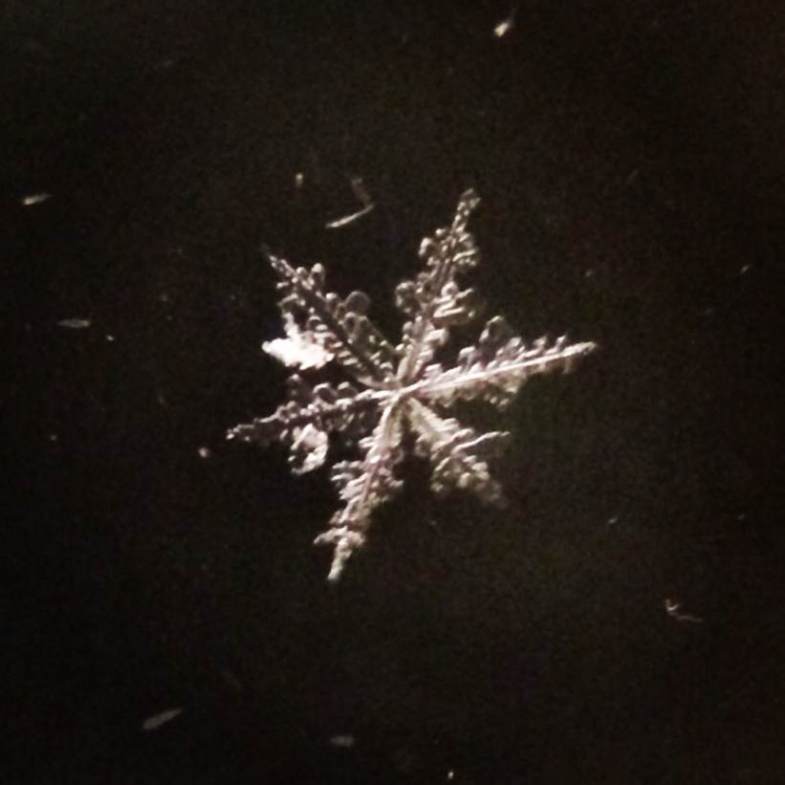
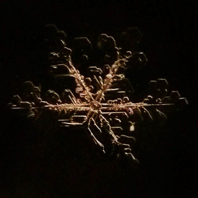
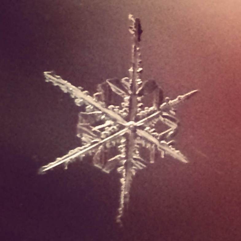
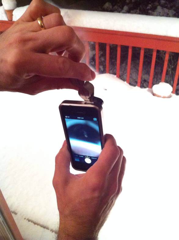
Gorgeous, Dreamlike Photos of Snowflakes Shot on an iPhone


More Must-Reads from TIME
- How Donald Trump Won
- The Best Inventions of 2024
- Why Sleep Is the Key to Living Longer
- How to Break 8 Toxic Communication Habits
- Nicola Coughlan Bet on Herself—And Won
- What It’s Like to Have Long COVID As a Kid
- 22 Essential Works of Indigenous Cinema
- Meet TIME's Newest Class of Next Generation Leaders
Contact us at letters@time.com