Workdays in Xinjiang generally begin at 10 or 11 a.m. Not because its people are lazy; China’s westernmost region may share a rough longitude with Nepal, but it’s run according to Beijing time, meaning dawn and dusk arrive at peculiarly late hours. It’s a perpetual reminder that this is a land beholden to a faraway power.
Travelers pass through the train station in Kashgar, China's westernmost city, in May 2016.
Ringed by seven Central and South Asian nations, Xinjiang is an Alaska-sized territory of parched desert, snowcapped mountains and lush grasslands.
It is blighted by severe poverty but is also undergoing rapid development—home, as it is, to 3,500 miles of China’s Belt and Road Initiative: a $900 billion rebooting of the ancient Silk Road through a trade and infrastructure network snaking via Central Asia to Europe and down through Africa.
A technician from a state-owned oil-exploration team rests after lunch in the Taklamakan Desert in December 2016; a dinosaur-themed amusement park near Wuerhe, a so-called ghost town, in May 2017.
Patrick Wack, a photographer based in Shanghai and Berlin, spent a total of two months traveling all over Xinjiang between April 2016 and May 2017 in order to document the changes engulfing the region. His focus was particularly drawn to the Uighur population, an 11 million-strong predominantly Muslim Turkic people that form a majority in Xinjiang. Many feel marginalized by Beijing’s ever more suffocating rule, agitating for greater autonomy and even independence.
“I wanted to go on a journey, and I wanted this journey to address China without looking like the China people usually get to see,” says Wack, a native of Cannes, France. “What I had not anticipated was the feeling of sadness I sensed everywhere I went; the idea that people and land are trapped in something bigger than them and which they cannot escape.”
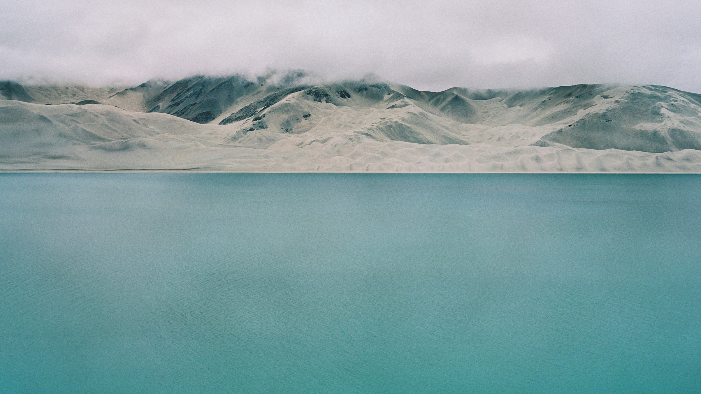
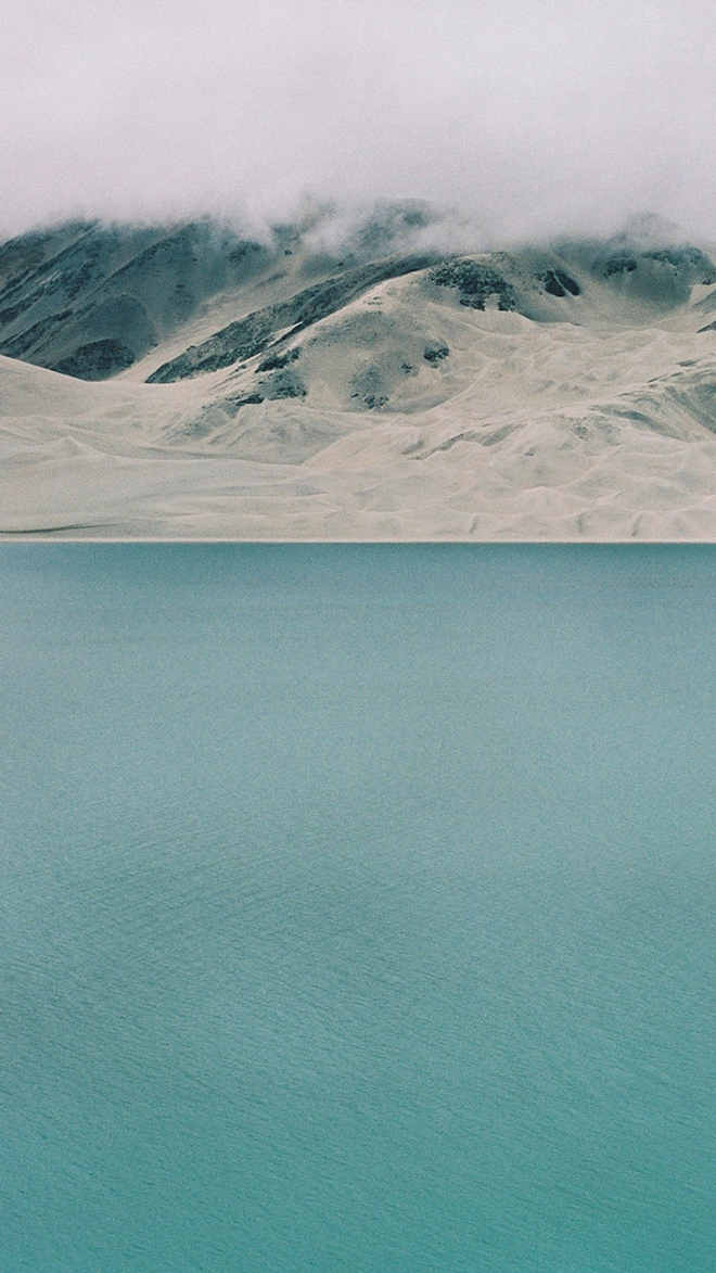
Baisha Lake in May 2016.
Xinjiang lags behind in China’s post-“reform and opening” growth miracle despite boasting huge natural resources, including 82% of the country’s mineral deposits, 30% of its oil, 34% of its gas and 40% of its coal.
Winters are freezing but summers bring long days of cloudless blue skies, under which the fertile earth bears some of the nation’s best fruit, particularly grapes, pears and melons.
Local culture is distinct from the rest of China, with a mutton-heavy diet complemented by yogurt and breads, and vivid ethnic dress, which Wack managed to capture in a stunning shot of a woman leaving a train in the ancient oasis town of Kashgar.
“Local Uighur women dress very colorfully but she does add quite a flamboyant tone,” he says. “The shiny fabrics, the retro prints of her dress, the high heels as well as her tall and slender silhouette made her quite a unique sight.”
Two Uighur girls inside the old city of Kashgar in May 2016; a blindfolded statue of a Kazakh warrior on the road from Turpan back to Urumqi in June 2016.
Kashgar also marks the start of the BRI’s new China-Pakistan Economic Corridor, comprising roads, railway, pipelines and power plants along the 2,000 miles to Pakistan’s Gwadar Port. It’s a titanic feat of engineering that traces the fabled Karakoram Highway across the world’s highest navigable international border.
A pharmacy clerk in Kashgar in May 2016.
The $57 billion project aims to cut transport times from eastern Chinese factories from 12 days to 36 hours, while easing Pakistan’s dire energy crisis. It also opens up the ravenous Chinese market to Pakistani produce.
Young Han-Chinese men hang out in a park in Shihezi; a butcher sells lamb in his family-owned business in May 2017.
But despite the cutthroat development, Kashgar remains a bastion of traditional Uighur culture, which can be glimpsed in Wack’s photograph of two young girls in the old city. “We did not talk much as they seemed very shy, I just asked if I could photograph them since the pastel colors of their outfits perfectly matched the tones of the surrounding facades,” he says.
Downtown Karamay, an oil city that has sprung up in recent decades in northern Xinjiang, in May 2017.
Wack also explored arcane settlements by the borders with Russia, Mongolia, Kazakhstan, Kyrgyzstan, Tajikistan and Pakistan. He trod the inhospitable Taklamakan desert, dubbed the “sea of death,” and climbed the Kunlun Mountains that border Tibet.
He captured the rusting pumps that stipple the spent oil fields flanking the city of Karamay. “In some areas we could spend a whole day driving without seeing anyone,” says Wack, “although that became less the case on the last trip due to checkpoints.”
A truck motors along the Karakoram Highway in May 2016; freshly picked cotton outside in Luntai County, north of the Taklamakan Desert, in November 2016.
Following riots in the provincial capital Urumqi in 2009 that left 197 dead, according to official figures, the Chinese government has ramped up security across Xinjiang. Soldiers brandishing assault rifles patrol next to armored cars in the big cities, while the movement of Uighurs in rural areas is severely restricted.
Local authorities are currently collecting DNA, fingerprints, iris scans and blood types from every Xinjiang resident aged between 12 and 65, Human Rights Watch said in December.
Boys at a park after school in Shihezi in May 2017.
The Beijing government insists its motives are benign, safeguarding security for all, and points to Xinjiang’s speedy growth and the gleaming new schools, hospitals and highways that have sprung up over recent years.
Still, for Wack, “the massive military and police presence exacerbates that confrontational and oppressing feeling.”
A park in Urumqi in June 2016.
Patrick Wack is a photographer based in Shanghai and Berlin. Follow him on Instagram @patwack.
Charlie Campbell is a Beijing correspondent for TIME. Follow him on Twitter @CharlieCamp6ell.
Andrew Katz, who edited this photo essay, is TIME’s Deputy Director of Multimedia. Follow him on Instagram @katzandrew.

