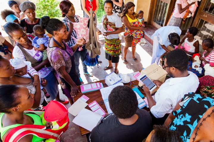
Some public-health problems are mountains, and some are millions of molehills. Kenya-based software company Ona uses satellite imagery and information from such NGOs as Zambia’s Akros to create a simple digital mapping system that helps health workers locate remote dwellings and identify what health services they need, in real time, in the field—vital in interventions like malaria spraying and vaccine distribution. —Belinda Luscombe
TIME may receive compensation for some links to products and services on this website. Offers may be subject to change without notice.
