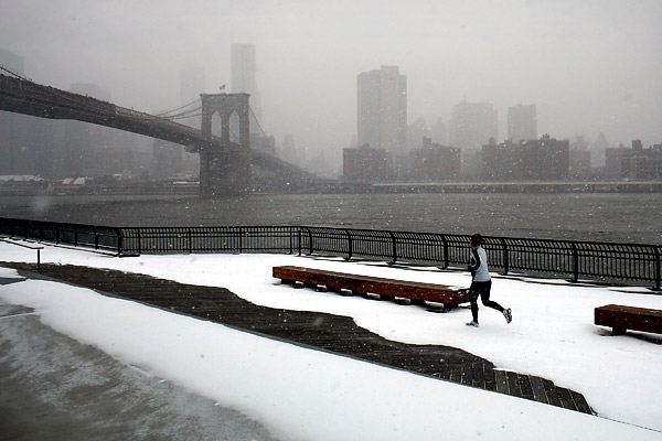
As the northeastern U.S. braces for the latest in a seemingly endless series of winter storms, new research has shown that the persistent cold weather suffered by much of the United States this winter may be a result of a changing jet stream pattern.
A new study shows that the jet stream over Northern Europe and North America may be taking a longer, more meandering path as a result of a rapidly warming Arctic narrowing the differential between upper and middle latitudes, reports the BBC.
Temperatures in the Arctic have been rising two to three times as rapidly as the rest of the globe, and as the difference in temperature between the Arctic and middle latitudes diminishes, the jet stream that separates them slows. That means that cold weather over North America tends to linger longer, according to the study presented at American Association for the Advancement of Science (AAAS) in Chicago.
It also means that warm weather is pushed further north and cold weather heads further South. Alaska and Scandinavia have had unusually warm winters this year, while southern U.S. cities like Atlanta have been struck by rare snowstorms and freezing weather.
More snow began bearing down on cities like Boston and New York on Saturday, just days after a mammoth snowstorm inundated the region with over a foot of snow in some areas and caused thousands of flight cancellations across the country. Boston is expecting up to a foot of snow this weekend and up to six inches are expected around New York City.
[BBC]
More Must-Reads From TIME
- The 100 Most Influential People of 2024
- The Revolution of Yulia Navalnaya
- 6 Compliments That Land Every Time
- What's the Deal With the Bitcoin Halving?
- If You're Dating Right Now , You're Brave: Column
- The AI That Could Heal a Divided Internet
- Fallout Is a Brilliant Model for the Future of Video Game Adaptations
- Want Weekly Recs on What to Watch, Read, and More? Sign Up for Worth Your Time
Contact us at letters@time.com