As a wildfire tearing through Northern California killed 42 people, becoming the deadliest recorded in state history, images captured from space showed thick plumes of smoke rising above California.
Wildfires, including the Camp Fire in Northern California and the Woolsey Fire in Southern California, have destroyed populated areas of the state in the last week. The overall death toll has risen to 44 people.
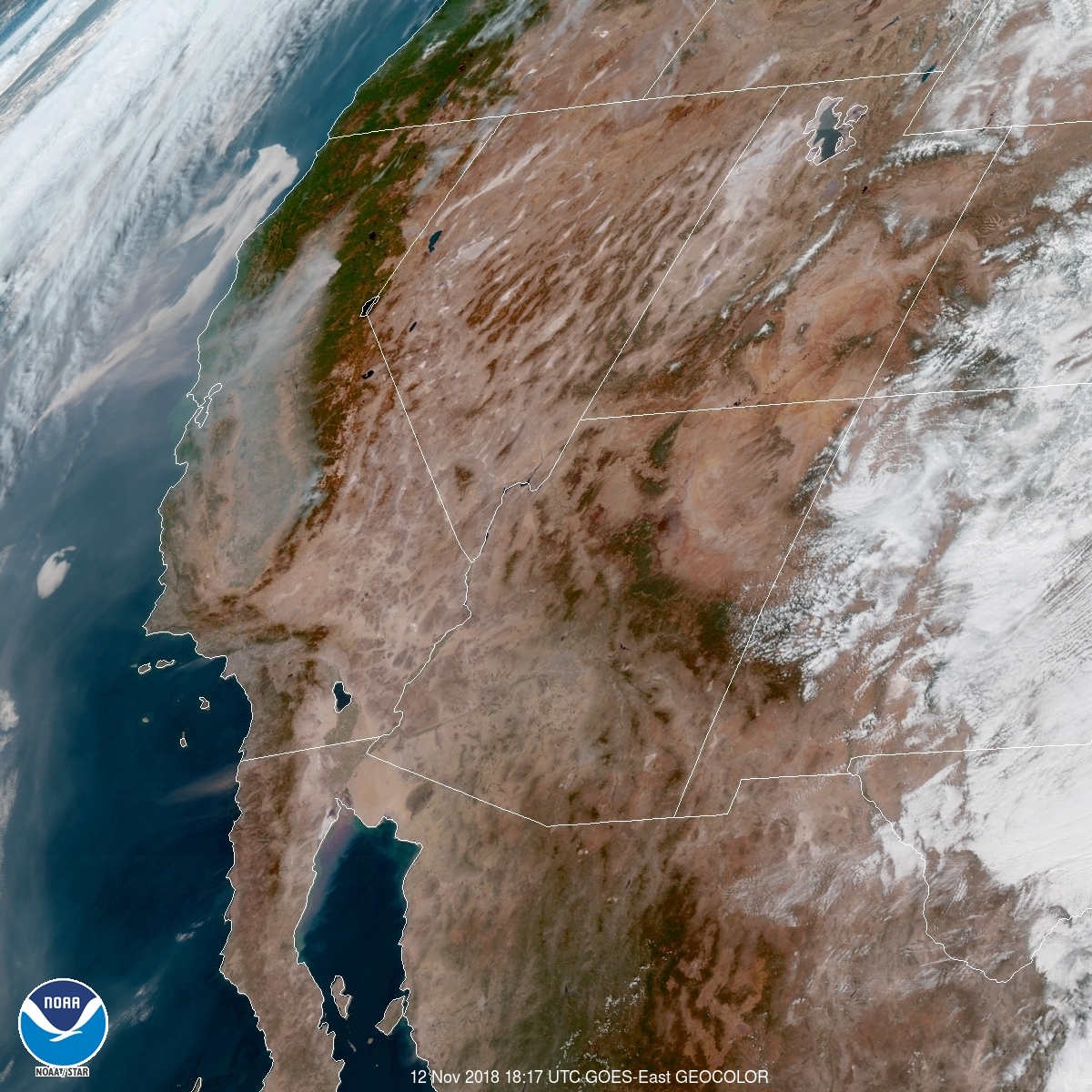
A satellite image from the National Oceanic and Atmospheric Administration shows portions of California covered in smoke, as of Monday.
The Camp Fire in Northern California rapidly spread across 117,000 acres by Monday, and was about 30% contained. It devastated the entire town of Paradise, burning down more than 7,100 structures. Further south, the Woolsey wildfire spread over 93,000 acres in an area northwest of Los Angeles, prompting the evacuation of the entire city of Malibu.
Smoke from the wildfires has obscured skies from Southern California up through parts of Northern California. Air quality alerts have been issued for about a dozen cities, including San Francisco, Napa and Chico.
More Must-Reads From TIME
- The 100 Most Influential People of 2024
- Coco Gauff Is Playing for Herself Now
- Scenes From Pro-Palestinian Encampments Across U.S. Universities
- 6 Compliments That Land Every Time
- If You're Dating Right Now , You're Brave: Column
- The AI That Could Heal a Divided Internet
- Fallout Is a Brilliant Model for the Future of Video Game Adaptations
- Want Weekly Recs on What to Watch, Read, and More? Sign Up for Worth Your Time
Write to Mahita Gajanan at mahita.gajanan@time.com