
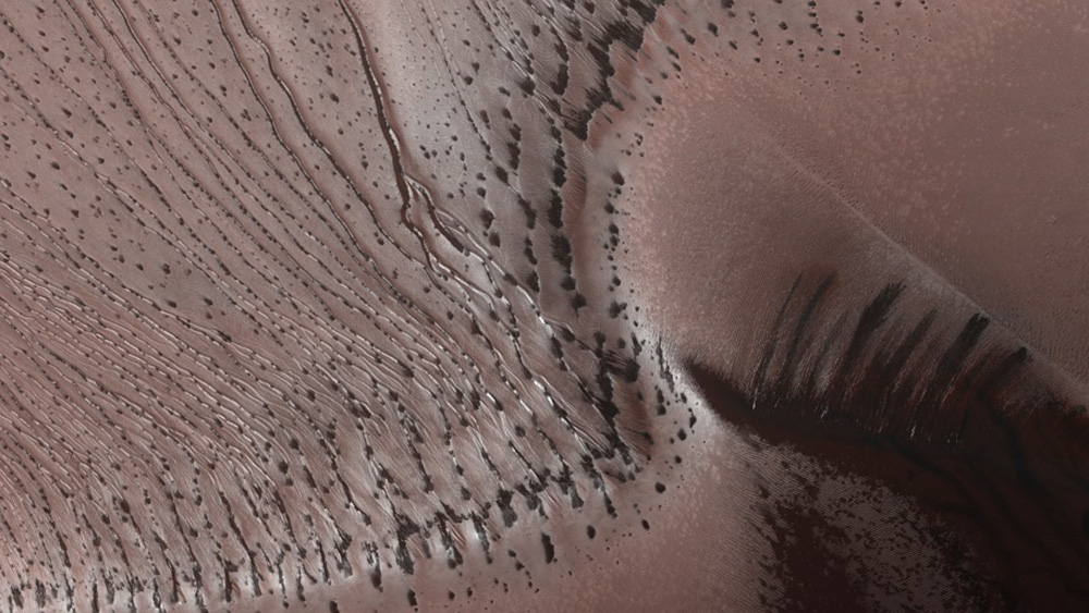
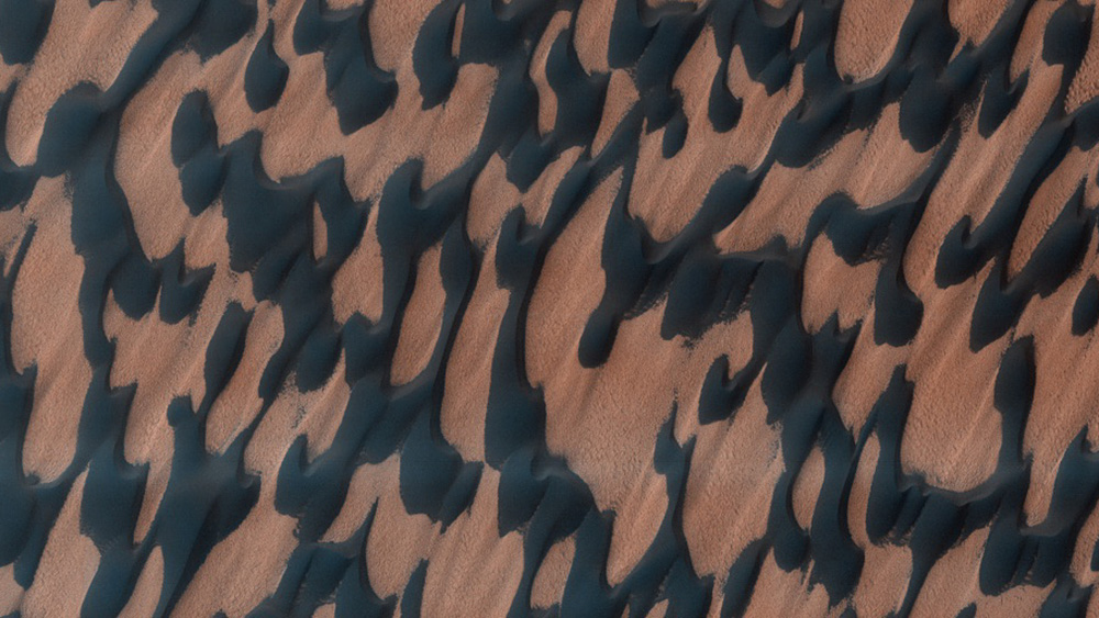
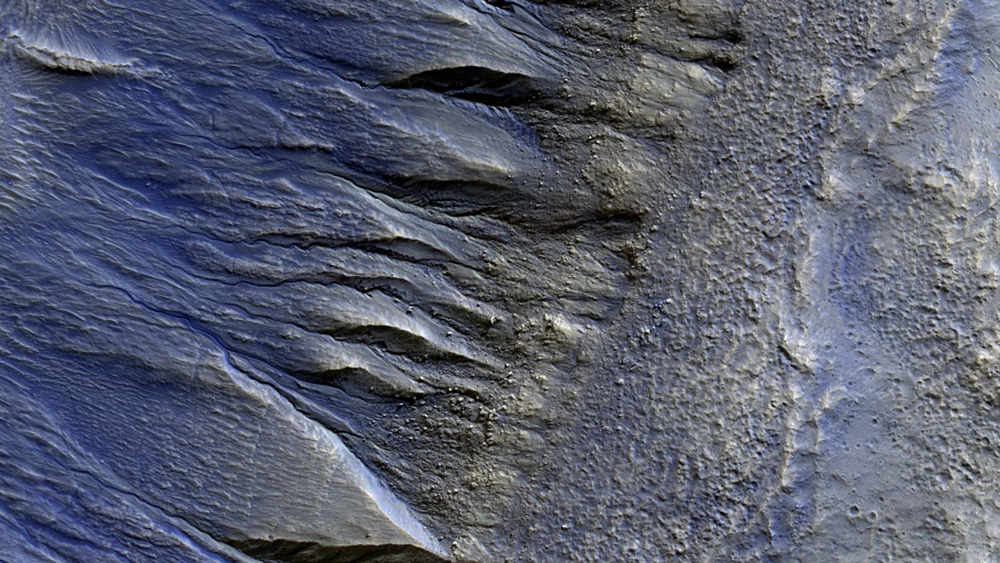
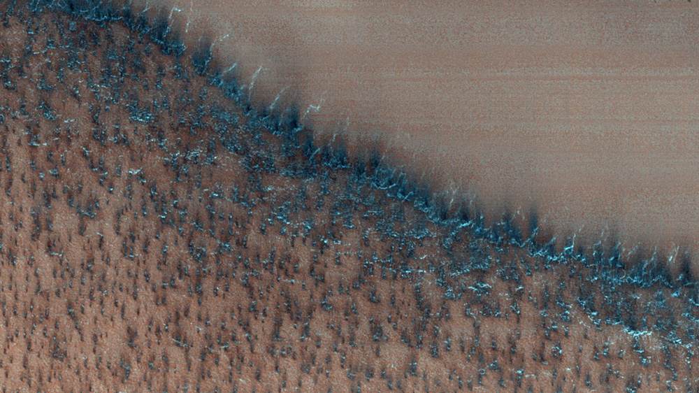
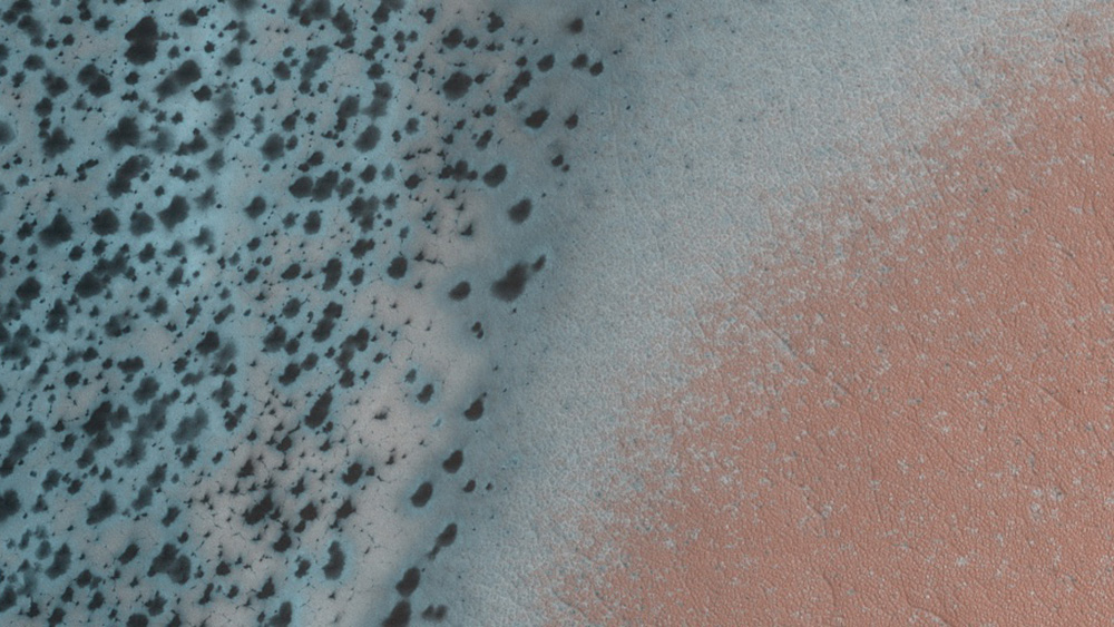
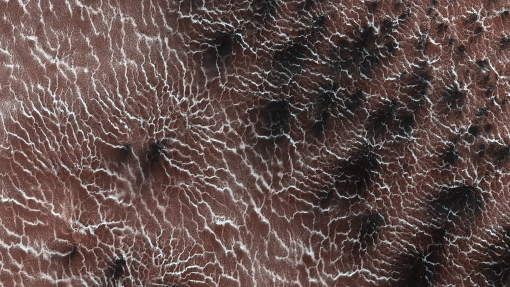
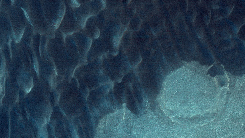
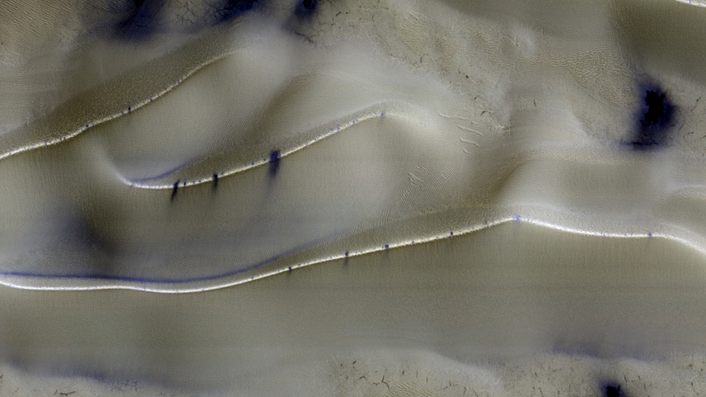
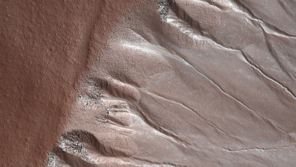
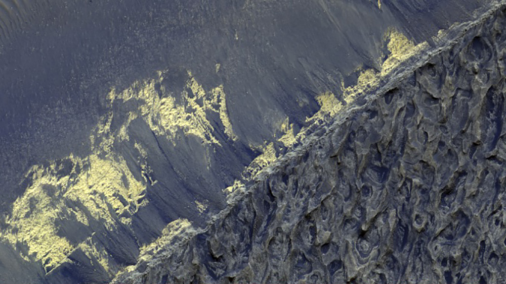
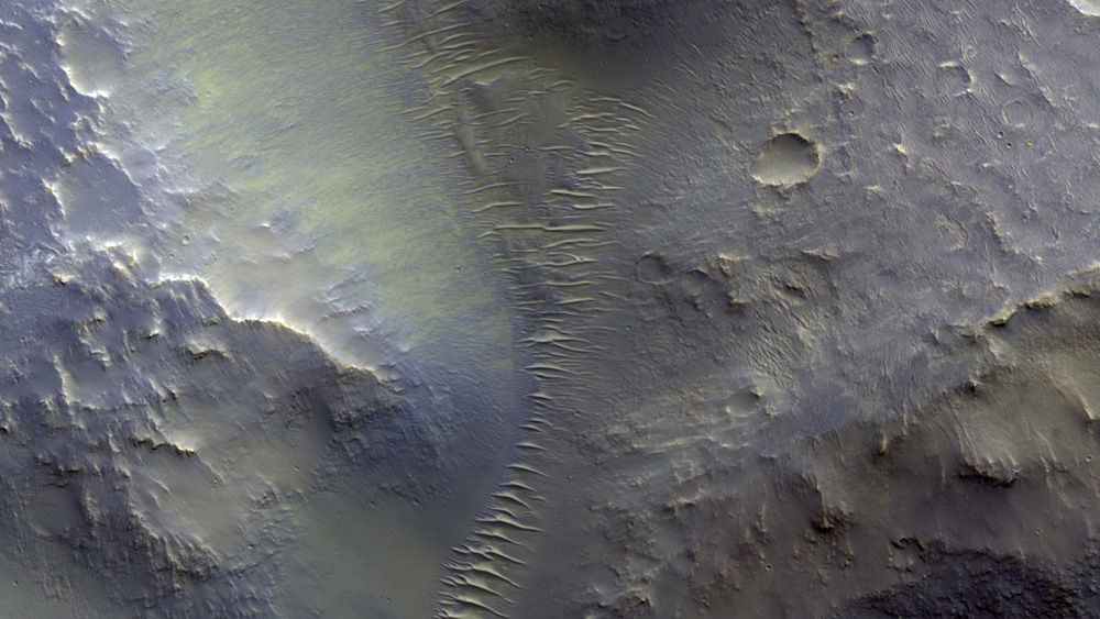
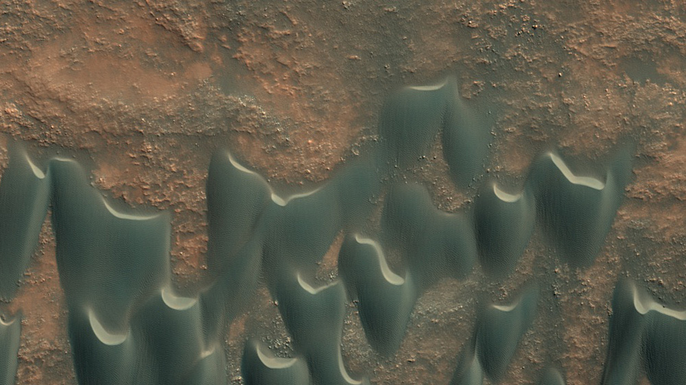
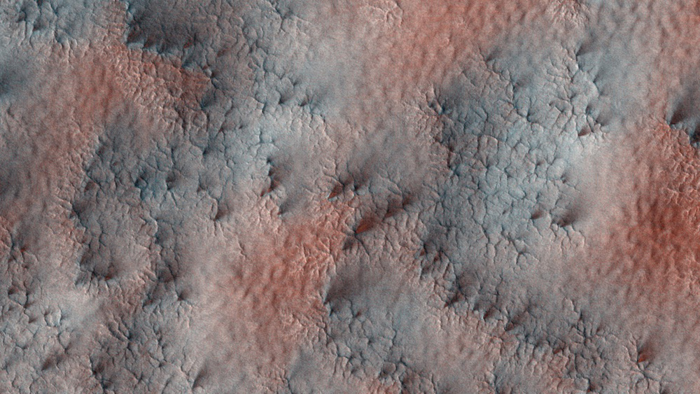
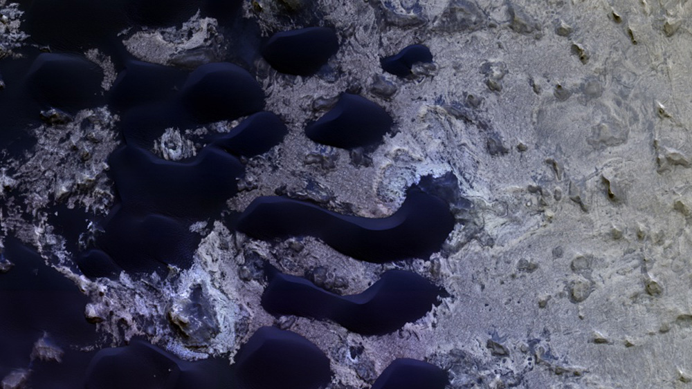
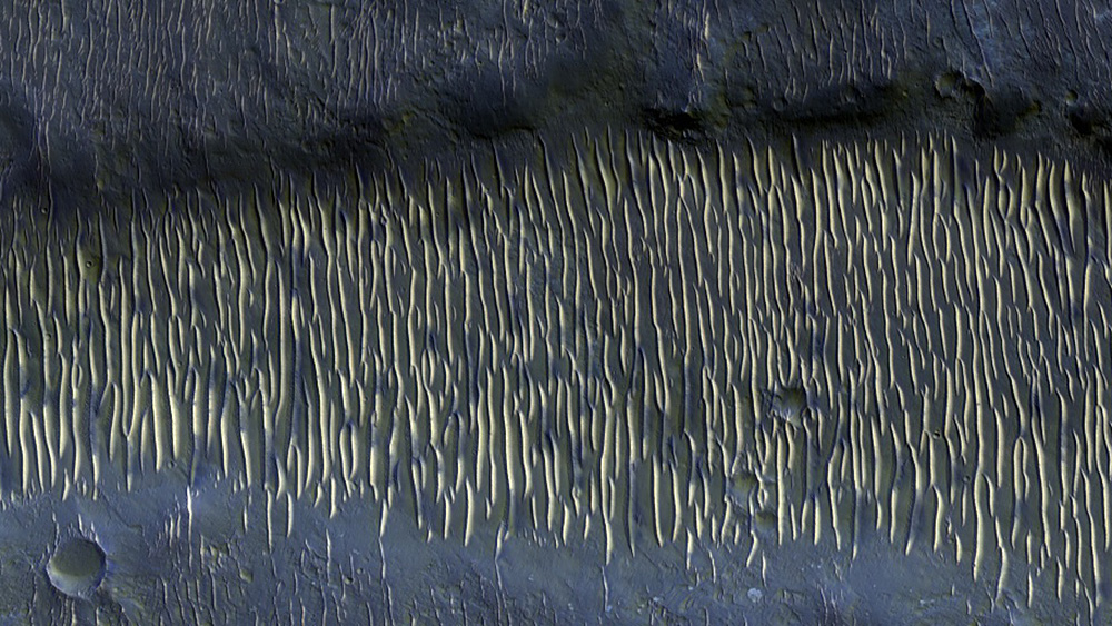
August has been an extra productive month for the team working with NASA’s HiRISE, the camera aboard the Mars Reconnaissance Orbiter. While the orbiter has been releasing images regularly, on the 3rd, NASA released more than 1,000 images, an unusually large haul.
Recently, two factors combined to make this an especially good time to photograph the red planet. Firstly, “every 26 months, the geometry of Earth and Mars offer a sweet spot for data return,” Alfred McEwen, the director of the Planetary Image Research Laboratory, told Popular Science. Secondly, July marked Mars’ autumnal equinox, giving the orbiter the most complete, fully-lit views of the planet it will get for the rest of the year.
The HiRISE is the highest-resolution camera to be carried aboard an orbiter, allowing scientists to view the structures of Mars‘ surface in detail—objects as small as one meter in length can be distinguished. The camera operates in visible wavelengths, the same as human eyes, but can also capture near-infrared wavelengths to obtain information on the mineral groups present. The resulting images are false color images, not the color human eyes would see on Mars, but processed to reveal distinctions between different materials and textures on the surface.
More Must-Reads From TIME
- The 100 Most Influential People of 2024
- The Revolution of Yulia Navalnaya
- 6 Compliments That Land Every Time
- What's the Deal With the Bitcoin Halving?
- If You're Dating Right Now , You're Brave: Column
- The AI That Could Heal a Divided Internet
- Fallout Is a Brilliant Model for the Future of Video Game Adaptations
- Want Weekly Recs on What to Watch, Read, and More? Sign Up for Worth Your Time
Contact us at letters@time.com