By Marisa Gertz
At least six people have died and hundreds have been evacuated as Texas continues to suffer from severe flooding brought on by torrential rain storms.
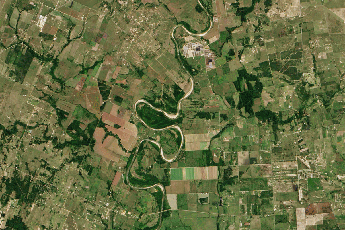
Texas Gov. Greg Abbott declared a state of disaster in 31 flood-affected counties after the Brazos River swelled to 54.8 feet. Anything above 51.3 feet is considered a major flood.
The above images, from NASA’s Earth Observatory, compare the river at normal levels in May 2013 and overflowing its banks on May 28 of this year.
More rain storms are predicted, meaning water levels could remain high for up to three weeks.
More Must-Reads From TIME
- Dua Lipa Manifested All of This
- Exclusive: Google Workers Revolt Over $1.2 Billion Contract With Israel
- Stop Looking for Your Forever Home
- The Sympathizer Counters 50 Years of Hollywood Vietnam War Narratives
- The Bliss of Seeing the Eclipse From Cleveland
- Hormonal Birth Control Doesn’t Deserve Its Bad Reputation
- The Best TV Shows to Watch on Peacock
- Want Weekly Recs on What to Watch, Read, and More? Sign Up for Worth Your Time
Contact us at letters@time.com