
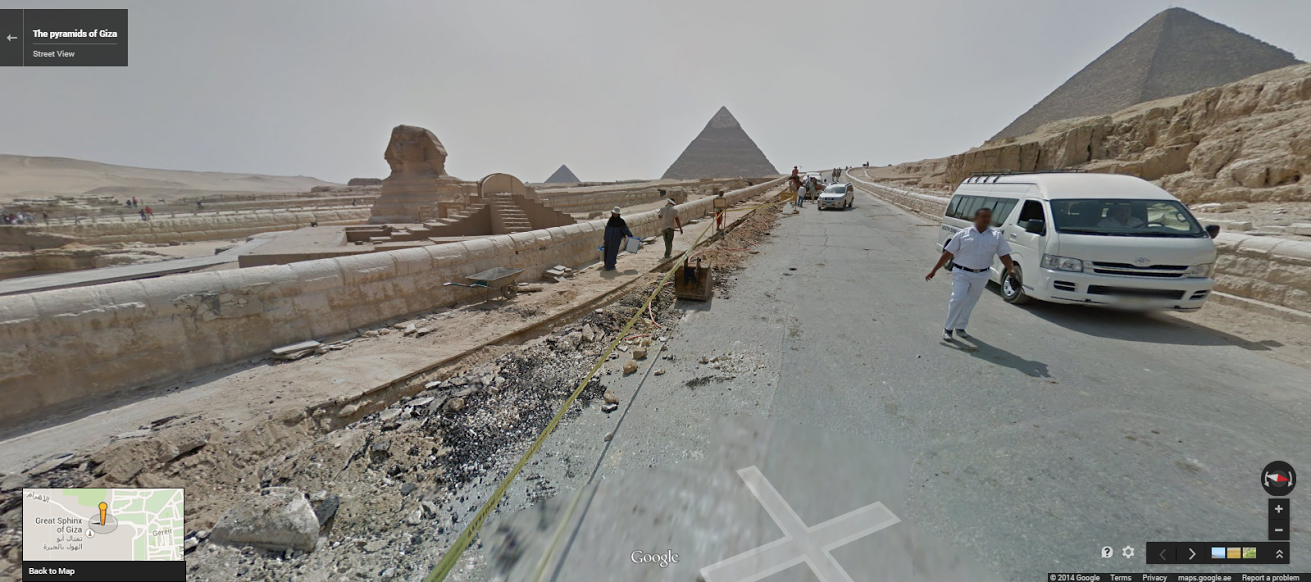
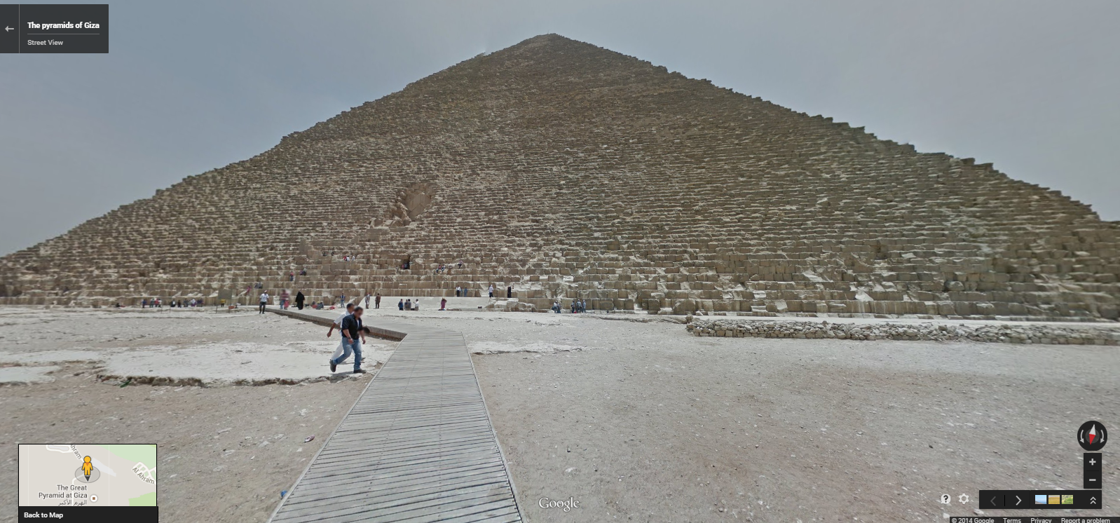
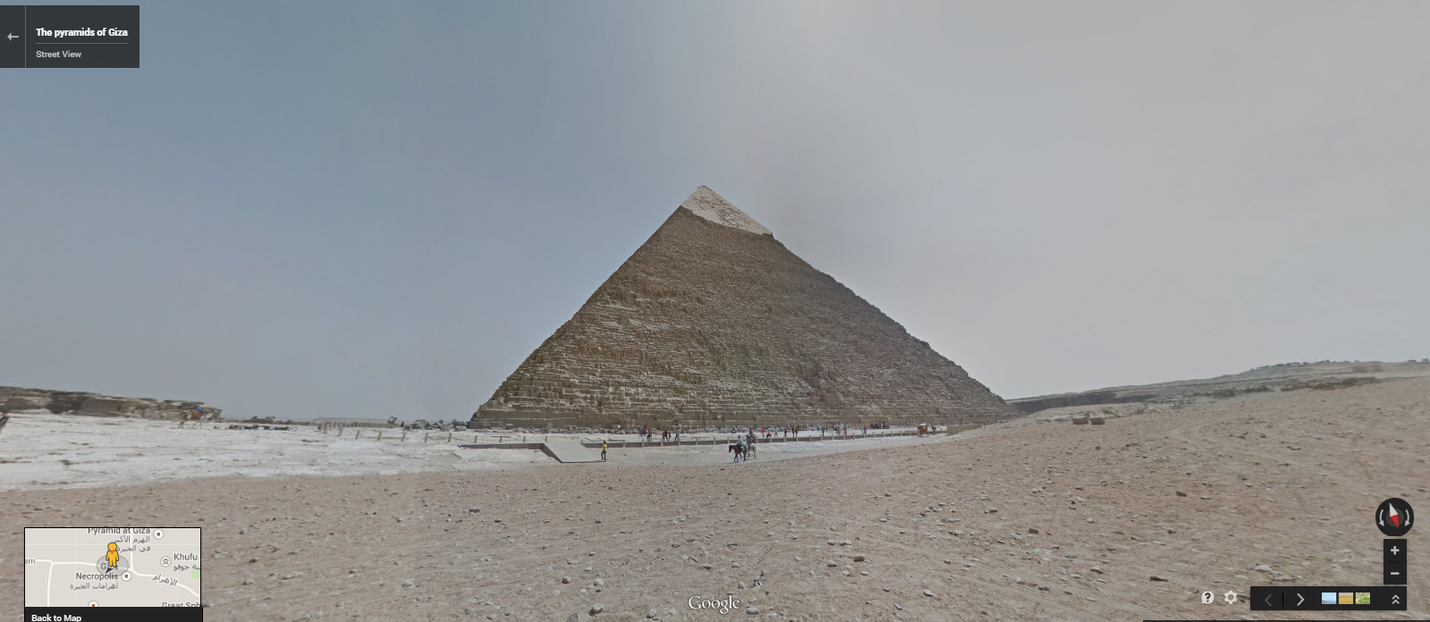
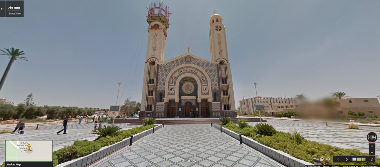
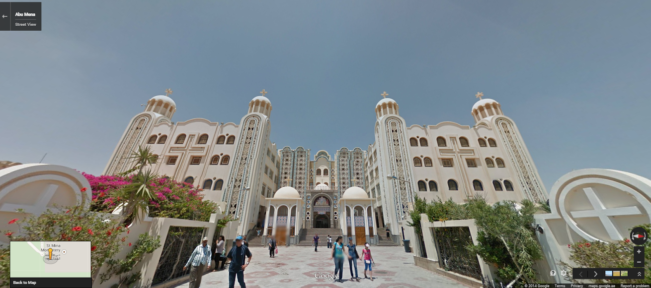
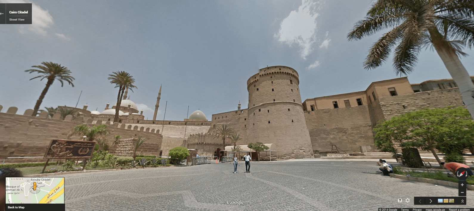
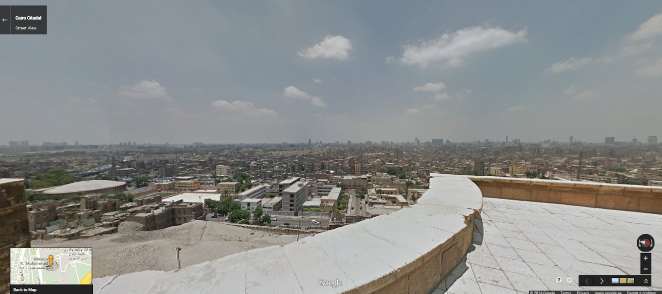
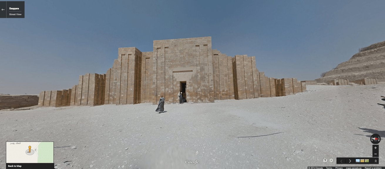
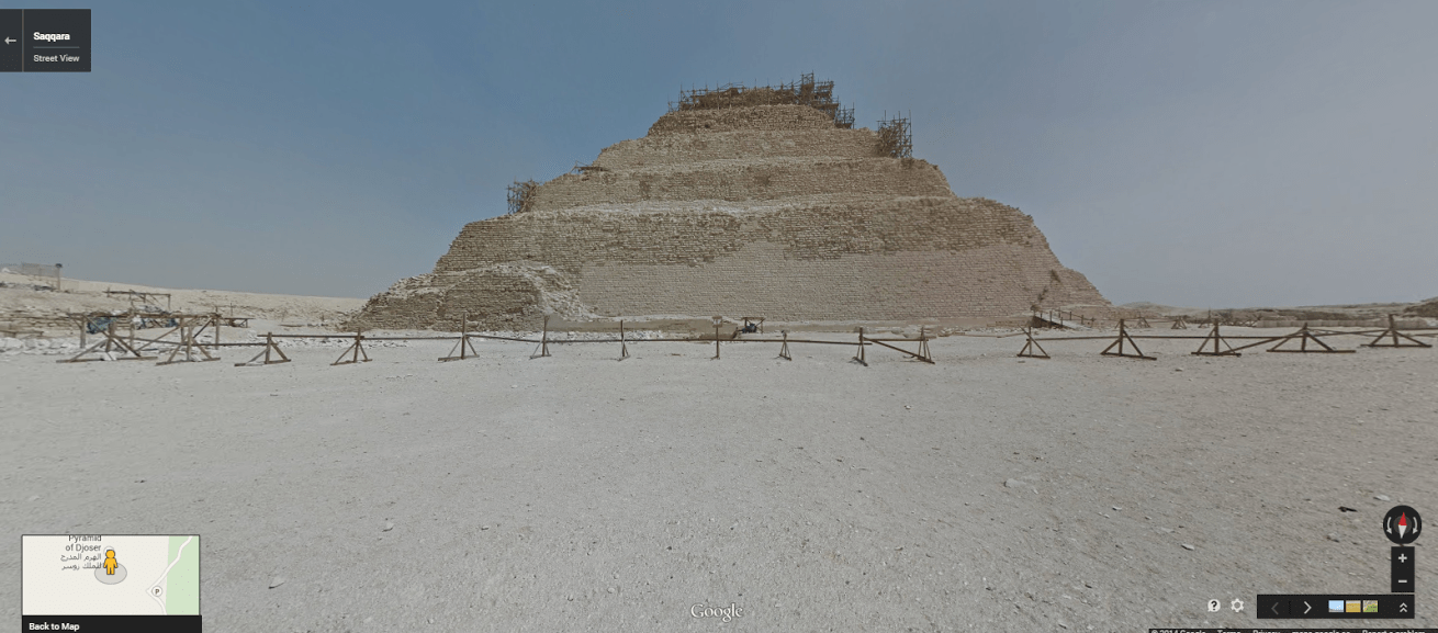
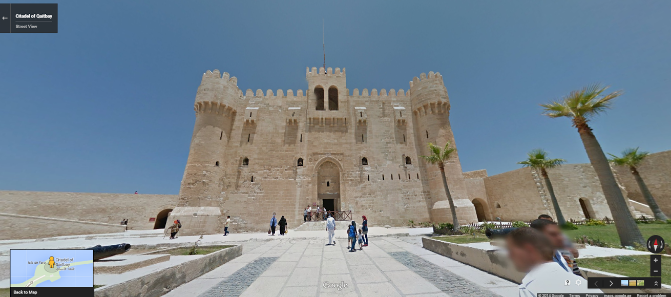
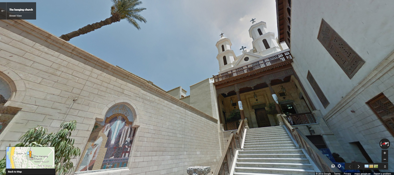
On Tuesday morning, Google unveiled Street View Egypt in Google Maps, the latest step in the tech giant’s quest to image and map the seven wonders of the world. This new collection includes 360-degree views of the Great Pyramids of Giza, the necropolis of Saqqara, the Citadel of Qaitbay, the Cairo Citadel, the Hanging Church and the ancient city of Abu Mena.

Google Street View began in 2007 and has since covered more than 7.2 million unique miles across more than 59 countries, gathering tens of millions of images that cover iconic landmarks and monuments, including the Taj Mahal, Angkor Wat, the Galapagos Islands, Everest Base Camp, the Grand Canyon and the Colosseum. Images are collected using 75-megapixel 360-degree panoramic cameras mounted on Street View Cars, or in the case of Street View Egypt and other hard-to-reach locations, “Trekkers” — backpack-like mounts worn by team members as they walk, hike and climb through a given location.
“We have two kinds of collections,” Google Maps Street View program manager Amita Khattri tells TIME. “We do countries that we have already collected imagery for — we sometimes go ahead and refresh the imagery — and then there are newer countries where we outreach and start on the new image collection.”
The Street View team faced exceptional challenges over the 10 days they spent using the Trekker in Egypt, carrying the heavy rigs through the desert during the height of summer where the heat tested the limits of both the cameras and the team members carrying them.
“It was a unique experience for us as well, because the equipment really got tested in the heat,” Khattri says. The captured scenes collected by the Trekkers were then stitched together into panoramas so that the result is seamless. This process, which also includes blurring of faces and license plates, can take anywhere from a month to several months, depending on the area being captured and the conditions under which the images were made.
More Must-Reads From TIME
- The 100 Most Influential People of 2024
- The Revolution of Yulia Navalnaya
- 6 Compliments That Land Every Time
- What's the Deal With the Bitcoin Halving?
- If You're Dating Right Now , You're Brave: Column
- The AI That Could Heal a Divided Internet
- Fallout Is a Brilliant Model for the Future of Video Game Adaptations
- Want Weekly Recs on What to Watch, Read, and More? Sign Up for Worth Your Time
Write to Mia Tramz at mia.tramz@time.com