Hurricane Patricia—the strongest hurricane ever recorded—made landfall on Friday without causing the catastrophic damage that many had anticipated. That lack of destruction is in large part due to the storm’s record winds staying confined to a small area and hitting a relatively unpopulated region.
“The amount of damage is going to be entirely dependent on where the storm hits,” said Sean Sublette, a meteorologist at Climate Central. “If it had been a more heavily populated area, we’d be having a much different conversation.”
The storm made landfall near Cuixmala, a luxury retreat in a sparsely populated ocean reserve, early Friday evening with winds of around 165 miles per hour. But the storm’s strongest winds didn’t extend much beyond 15 miles of its eye. The nearest city Manzanillo, which has a population of more than 100,000, is located more than 50 miles away.
Hurricane devastation is often due more to a combination of unfortunate circumstances rather than the sheer size of the storm. New Orleans, for instance, only sustained category 1 or 2 level winds during Hurricane Katrina but the storm caused a high “storm surge”—when elevated waters get pushed onto land by the wind—which ultimately led to much of the devastating flooding. Failed levees and neighborhoods located below sea level only contributed to the problem. Damage due to Hurricane Sandy was also largely the result of a high storm surge.
And while Hurricane Patricia avoided the most populated places along the coast, experts said that the storm had caused widespread damage in the area it did hit, including mud slides, flooding and power outages. Officials in the more densely populated areas, like tourist haven Puerto Vallarta, also appeared to follow preparation practices that would diminish the chances of injuries or death.
While the damage caused by Patricia may not scratch the record books, its strength certainly will. The storm’s winds reached 200 miles per hour Friday before making landfall.
“There was still damage and still flooding,” said Sublette. “It was a quite a kick.”
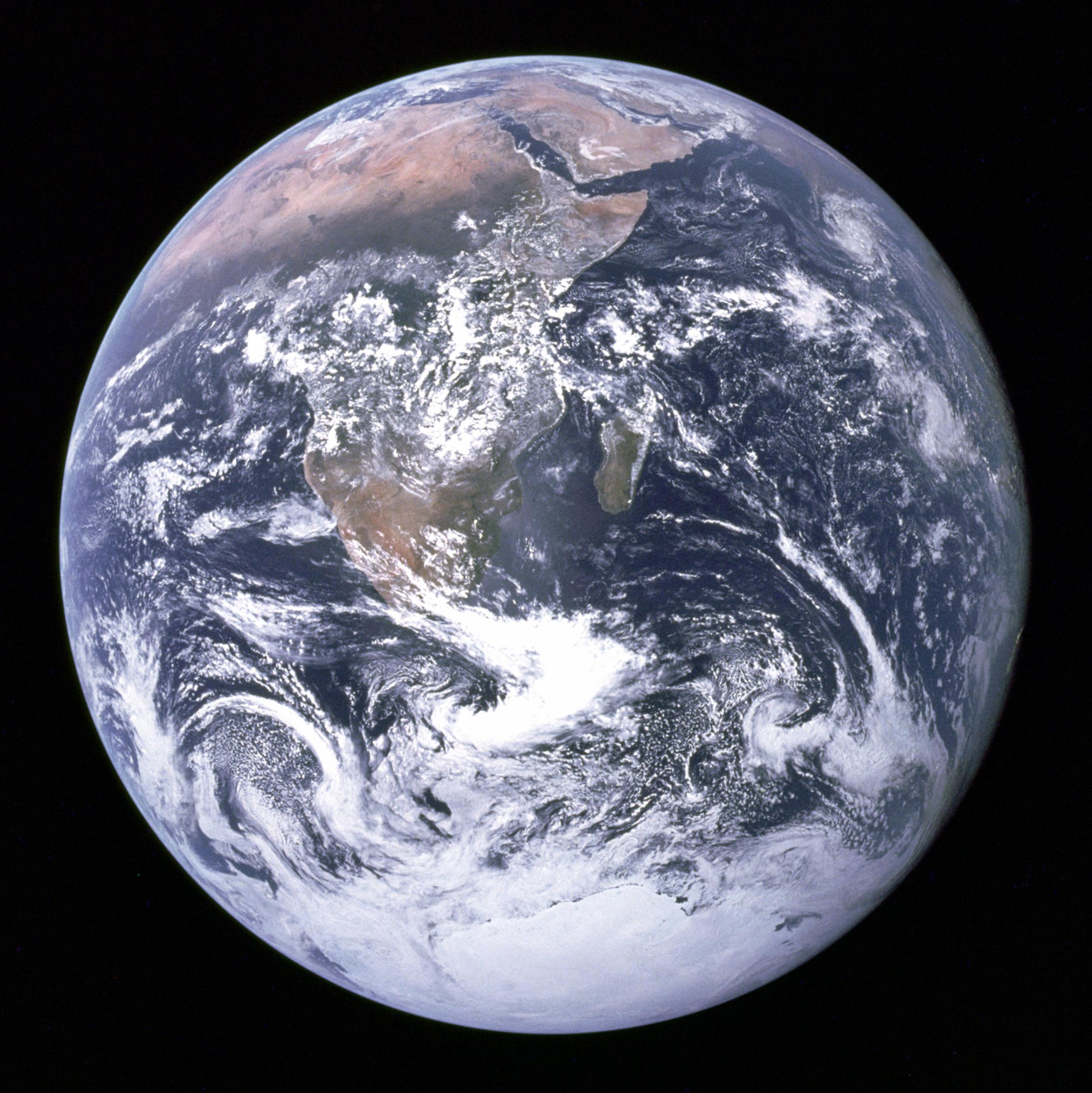
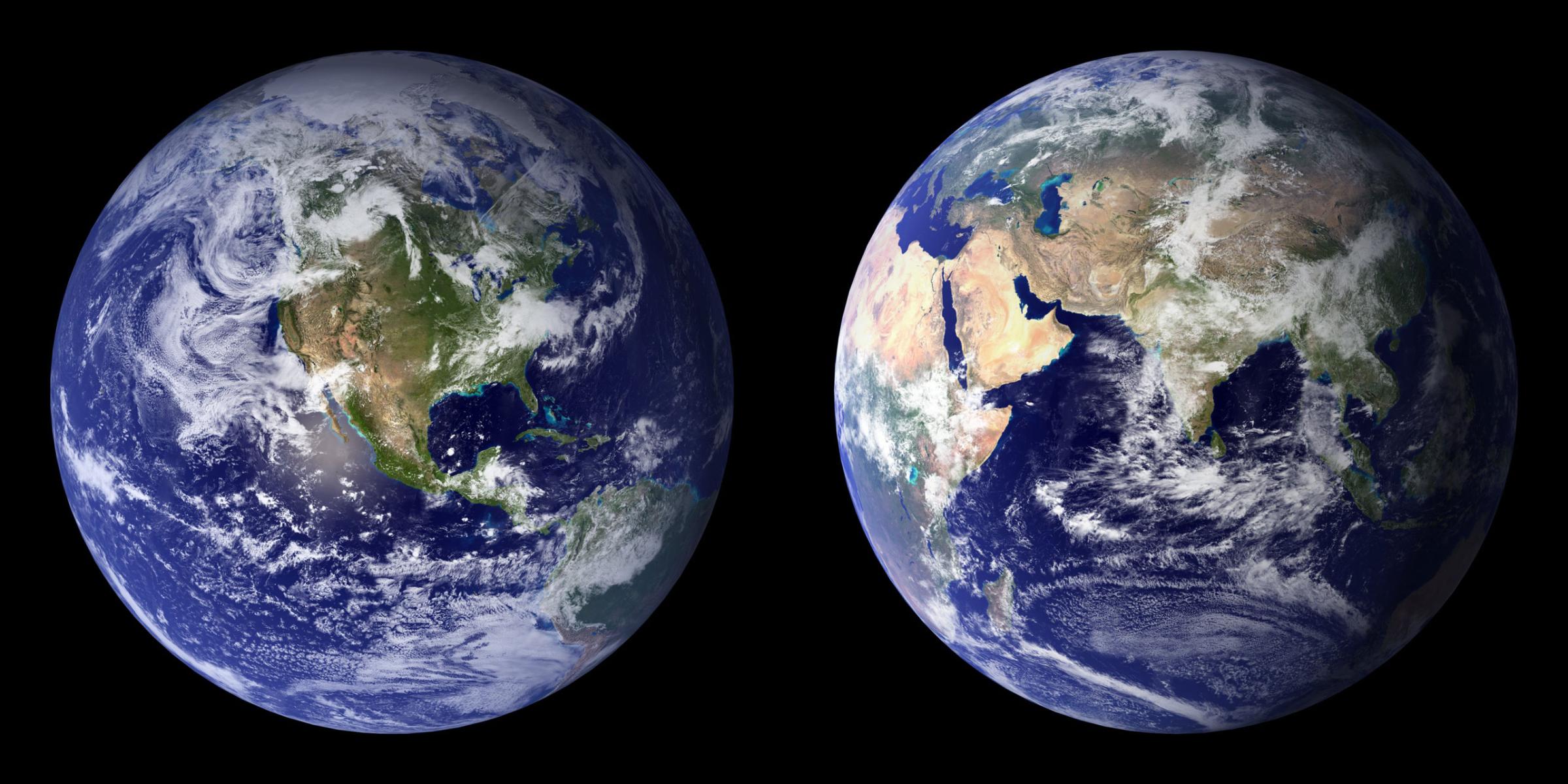
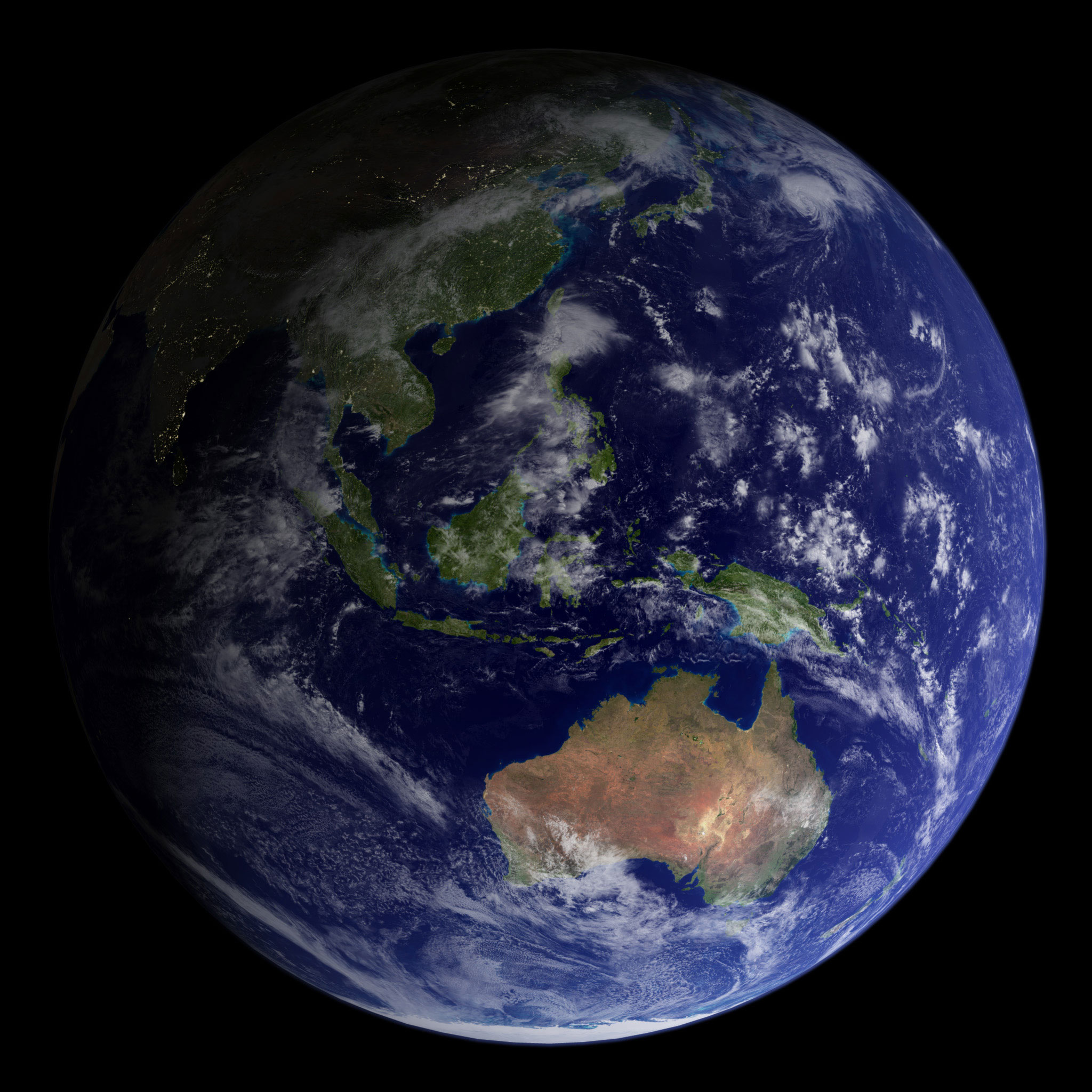
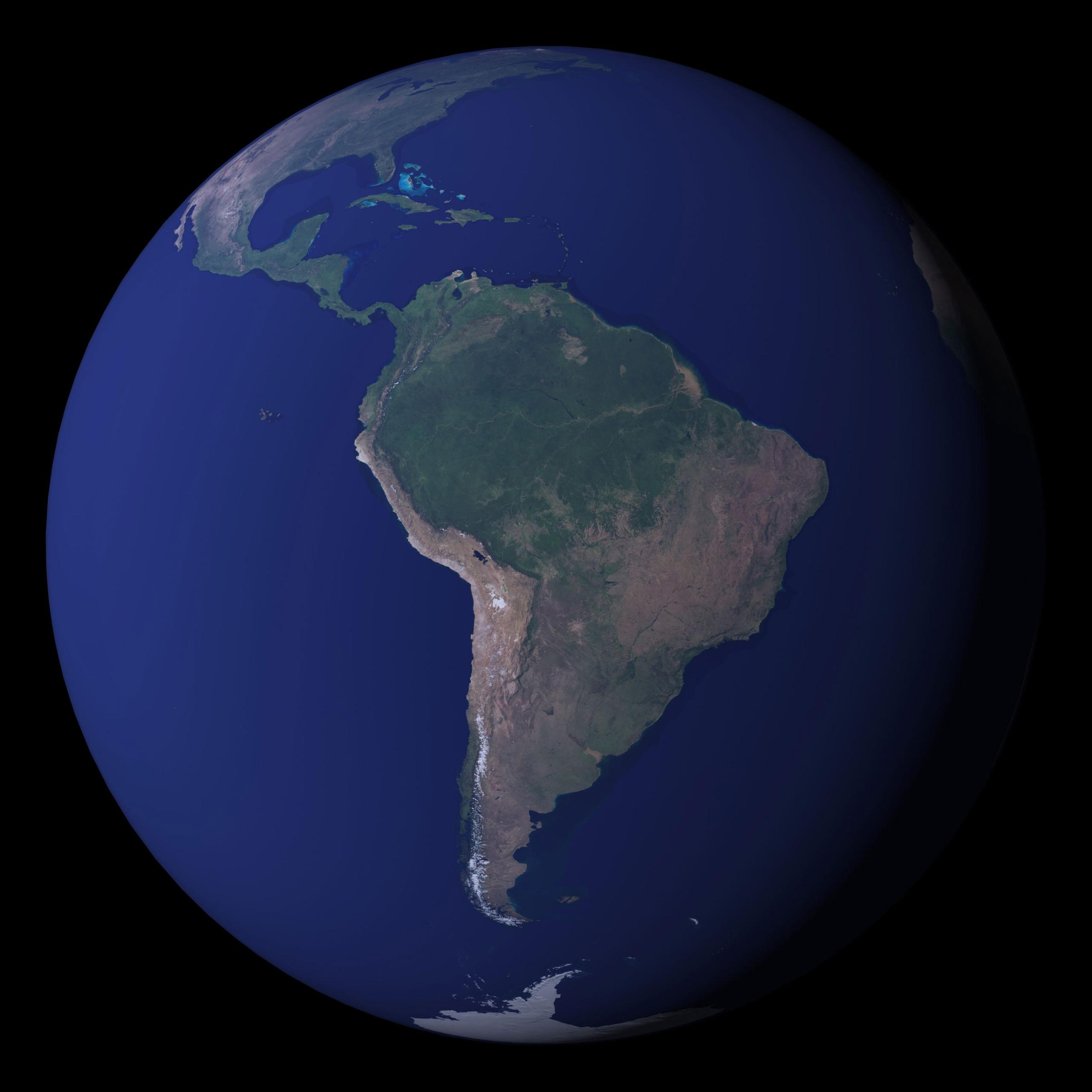
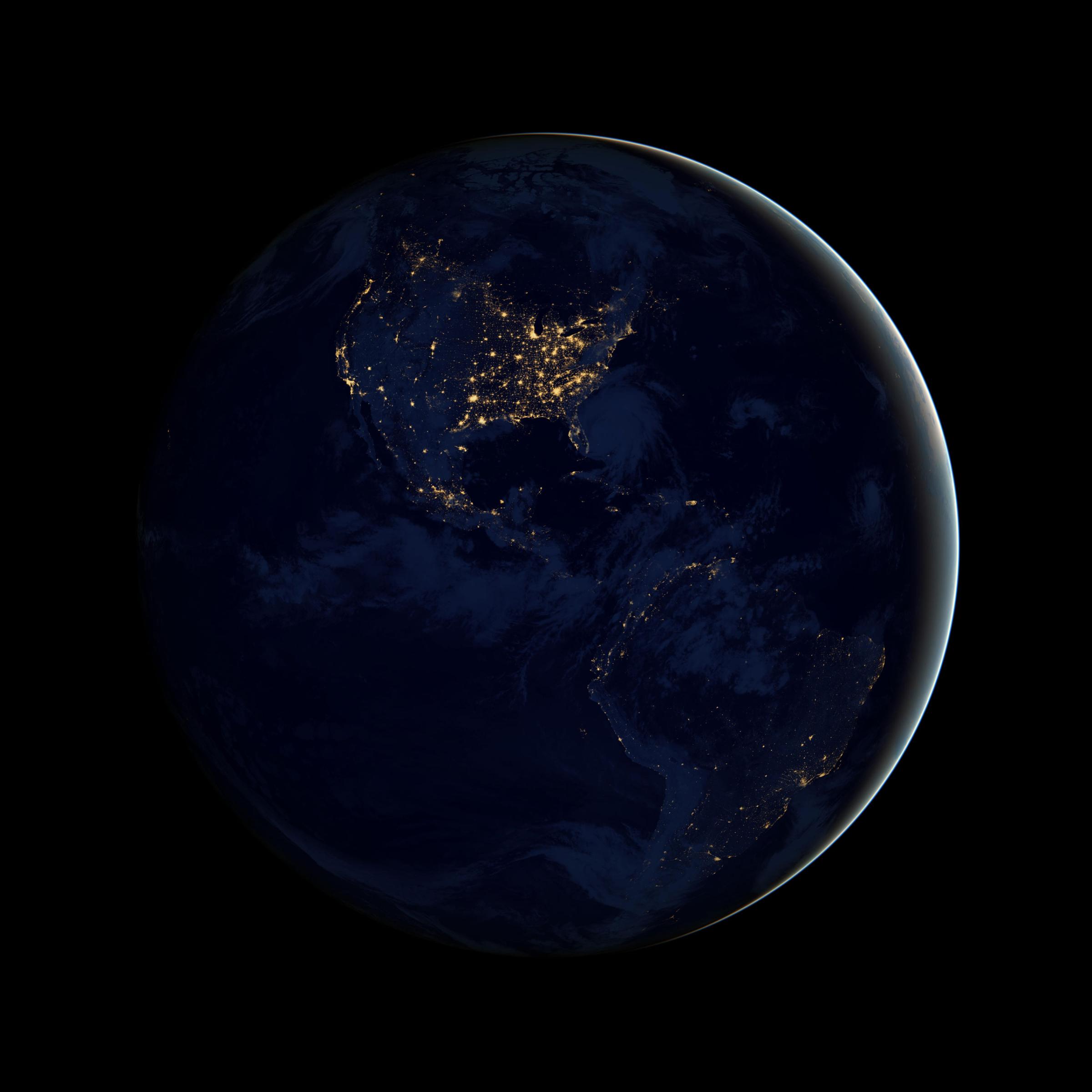
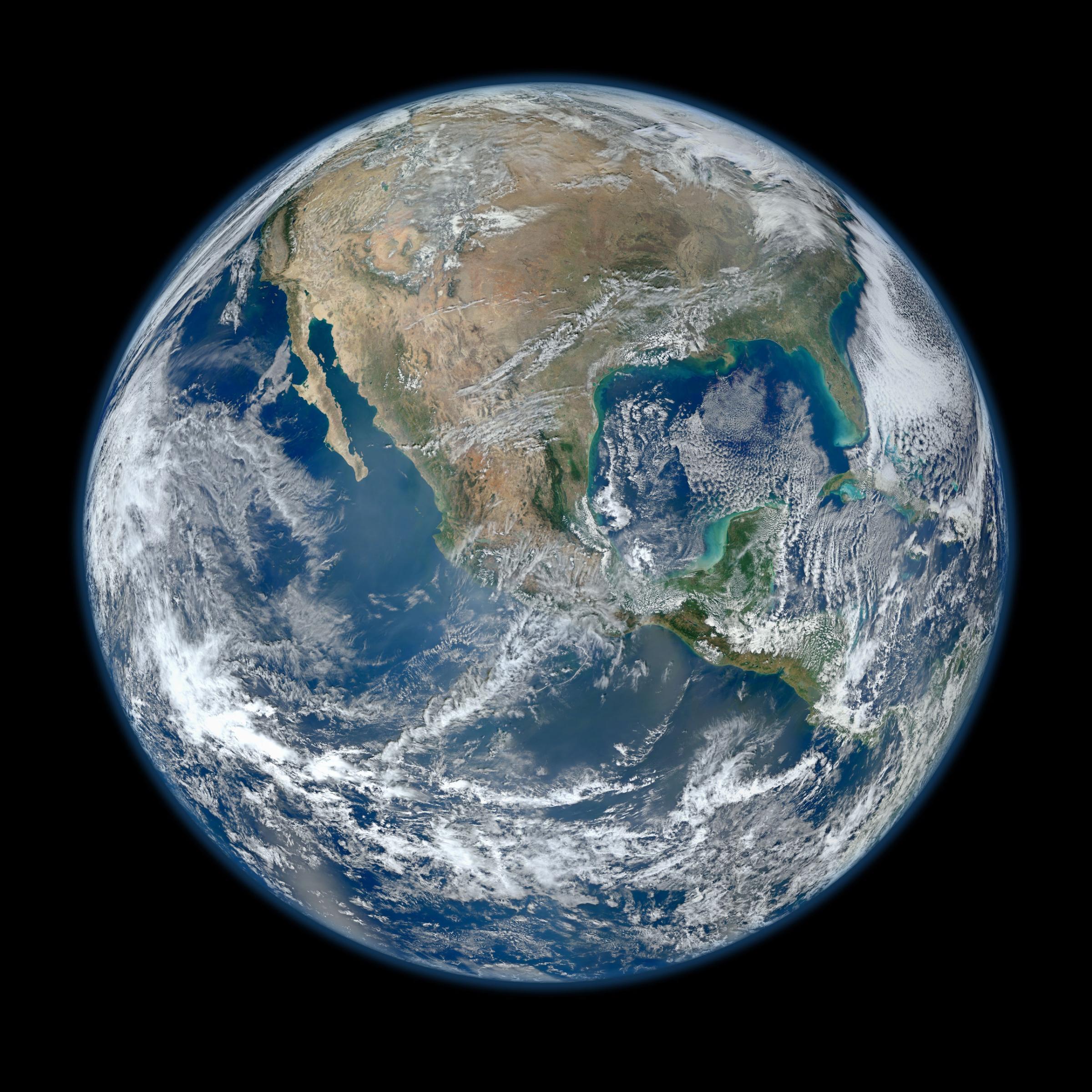
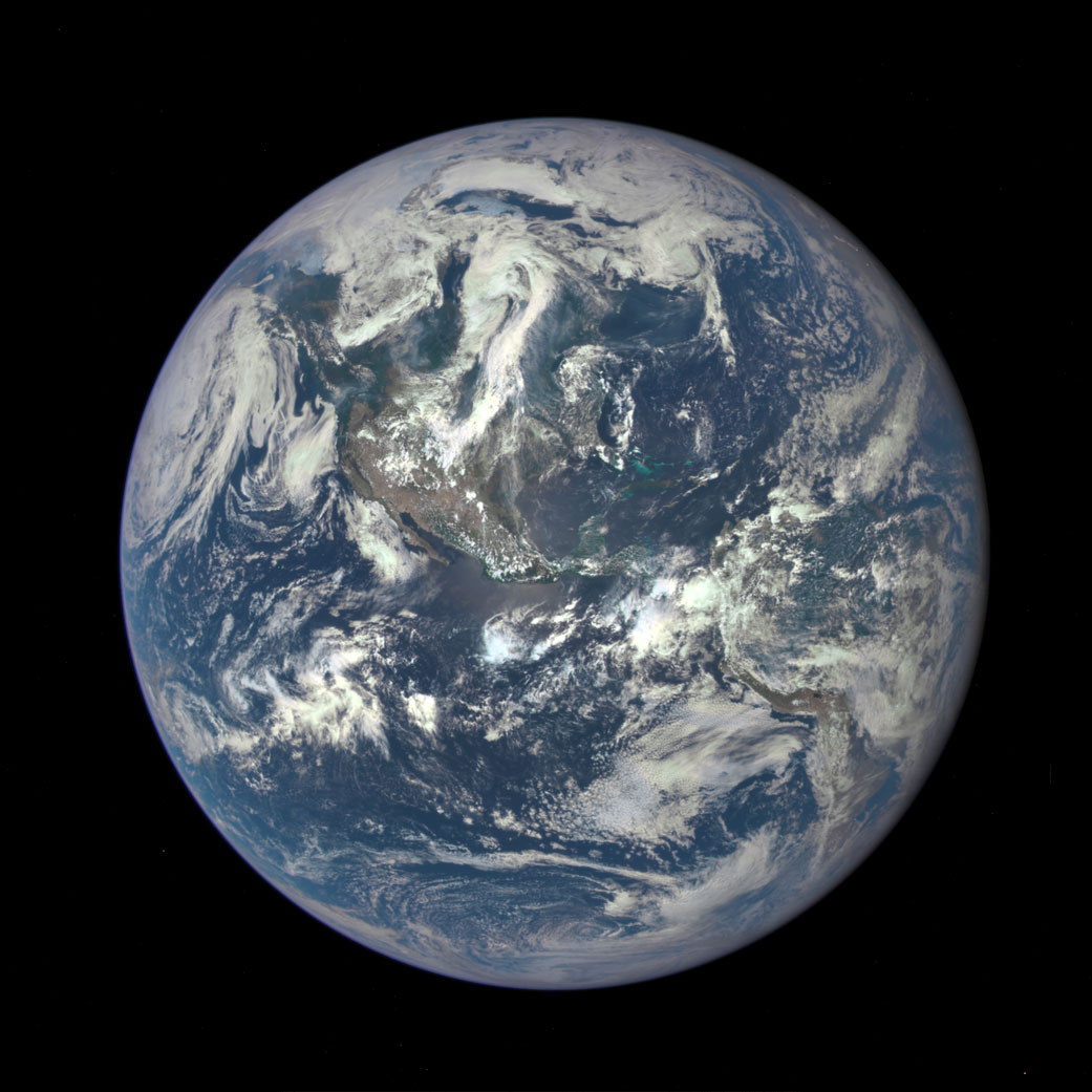
See the Evolution of the Iconic Blue Marble Photo
More Must-Reads From TIME
- The 100 Most Influential People of 2024
- The Revolution of Yulia Navalnaya
- 6 Compliments That Land Every Time
- What's the Deal With the Bitcoin Halving?
- If You're Dating Right Now , You're Brave: Column
- The AI That Could Heal a Divided Internet
- Fallout Is a Brilliant Model for the Future of Video Game Adaptations
- Want Weekly Recs on What to Watch, Read, and More? Sign Up for Worth Your Time
Write to Justin Worland at justin.worland@time.com