
There are moments when photography can reinvent the idea of a nation and shape an age. The French Missions Héliographiques in the mid-19th century employed some of the first traders in the fledgling craft to systematically document France’s architectural and cultural patrimony—and what emerged was a startlingly modern blueprint of the past. Under the New Deal, the photography project that accompanied the Farm Security Administration saw the creation of myriad iconic images of rural poverty in America that have, for generations, defined the Great Depression.
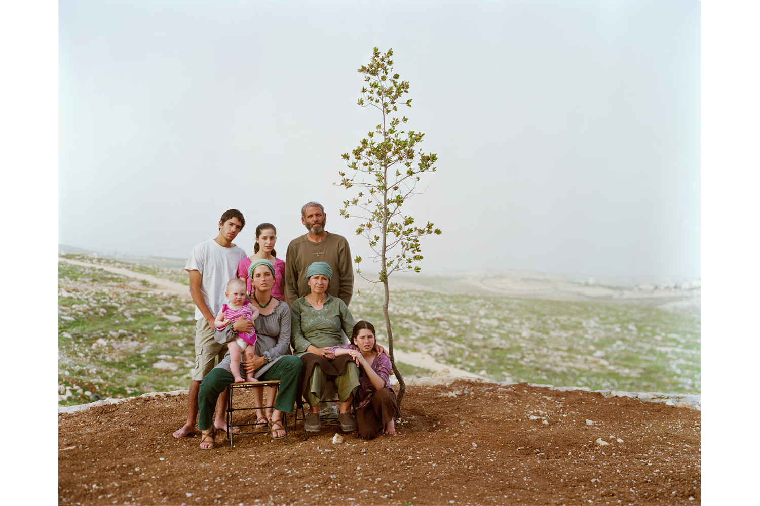
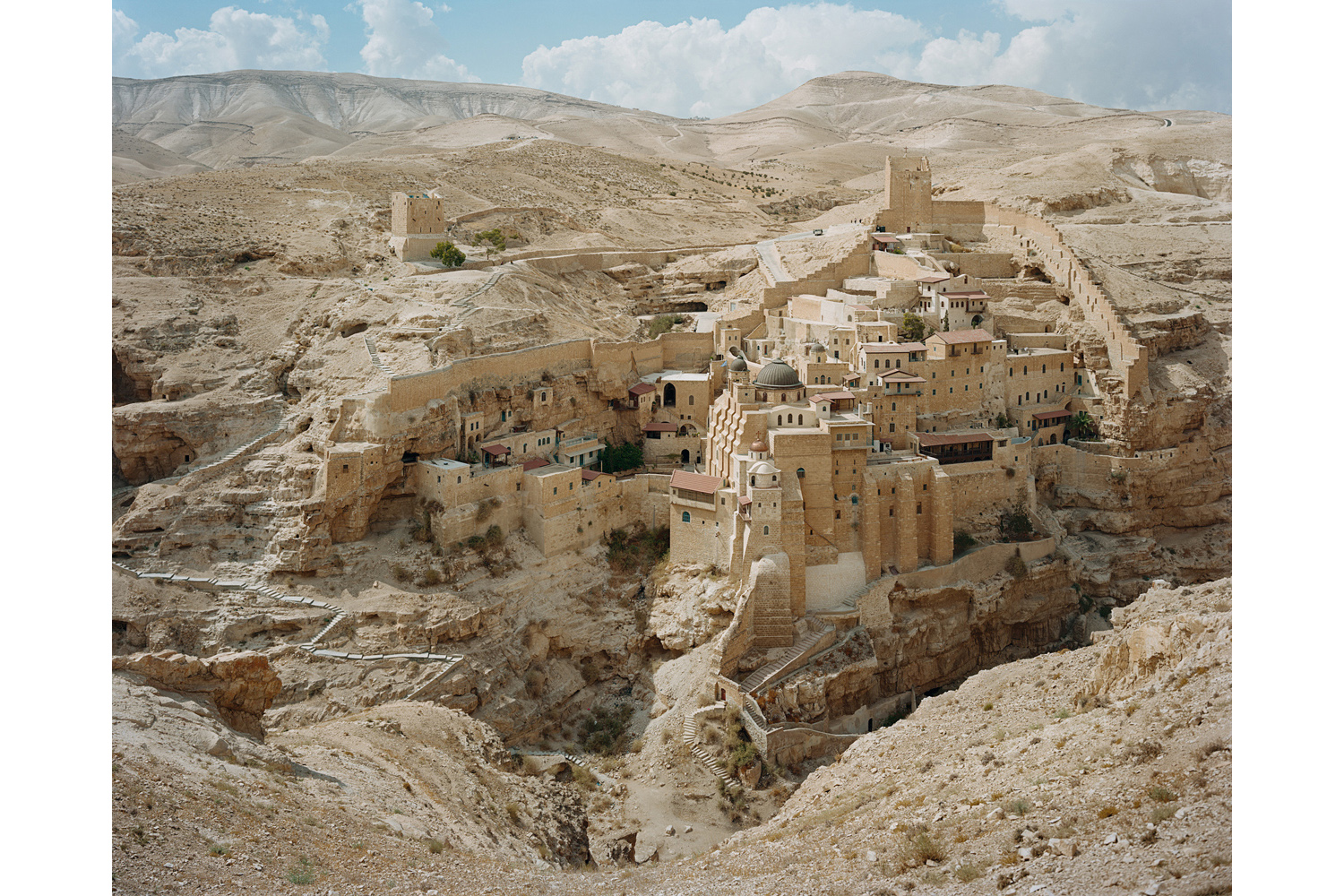
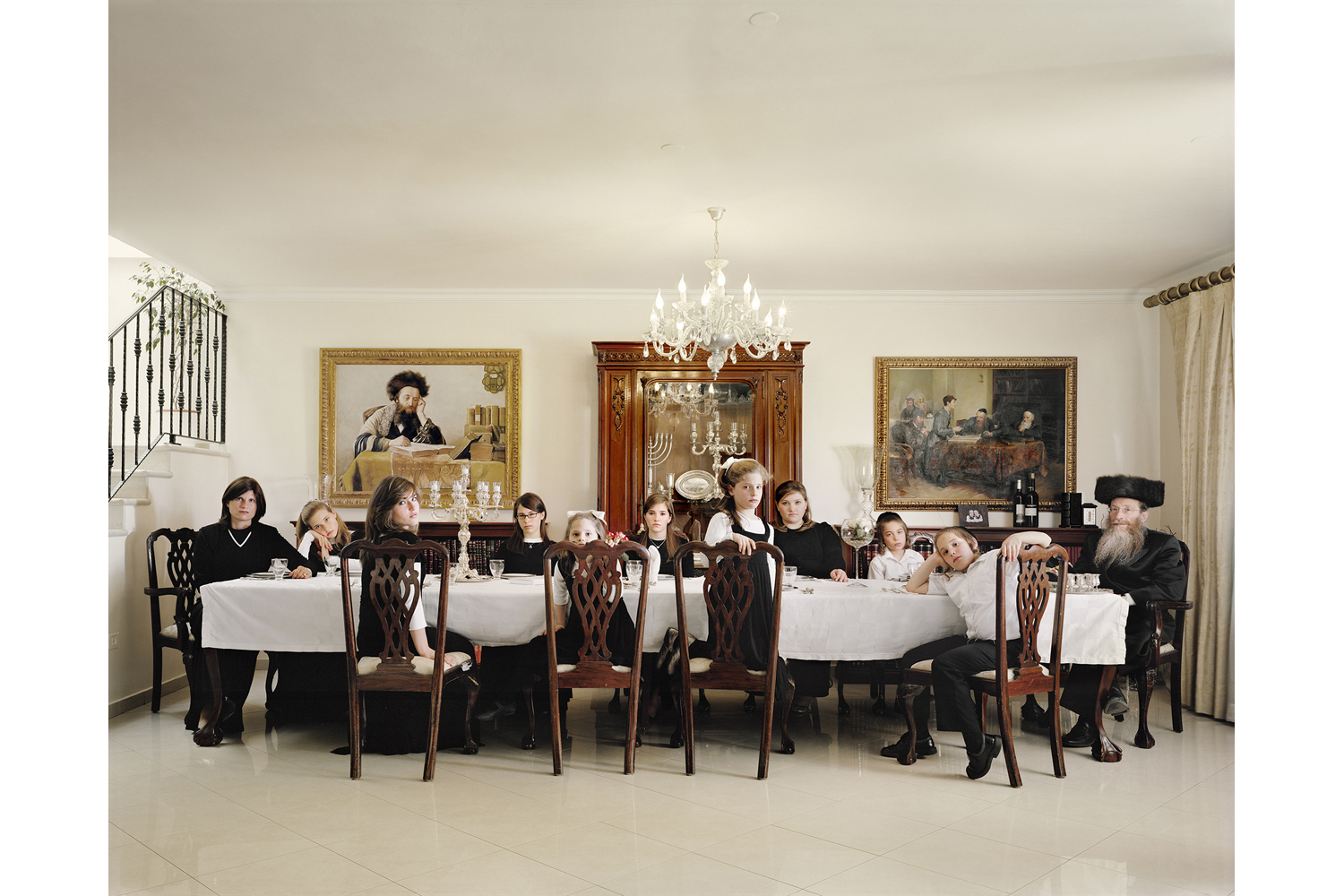
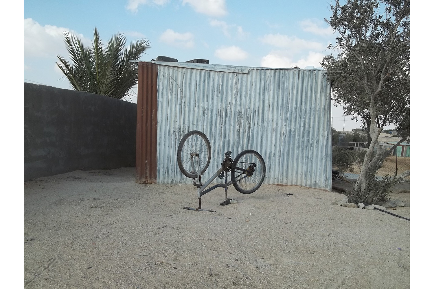
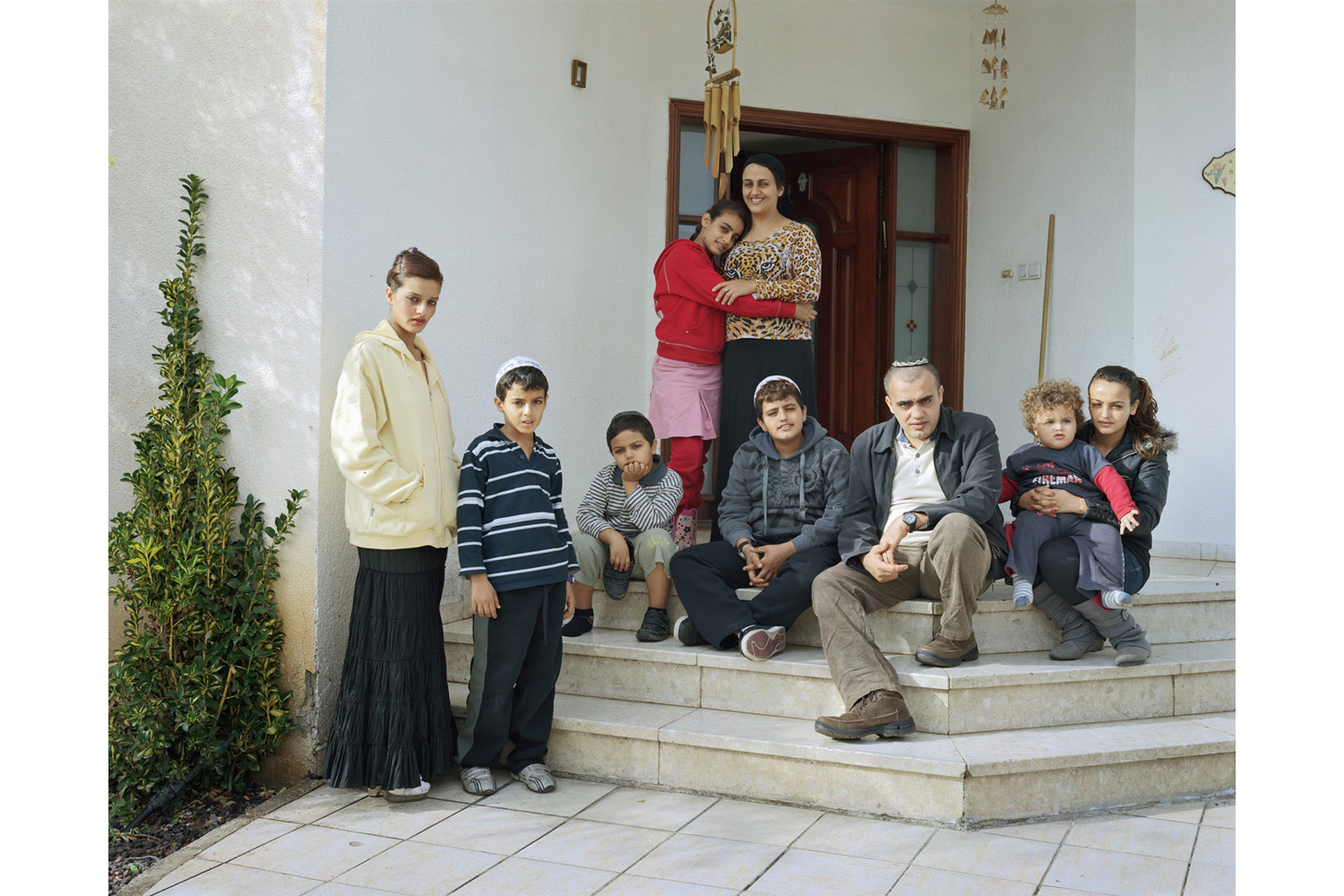
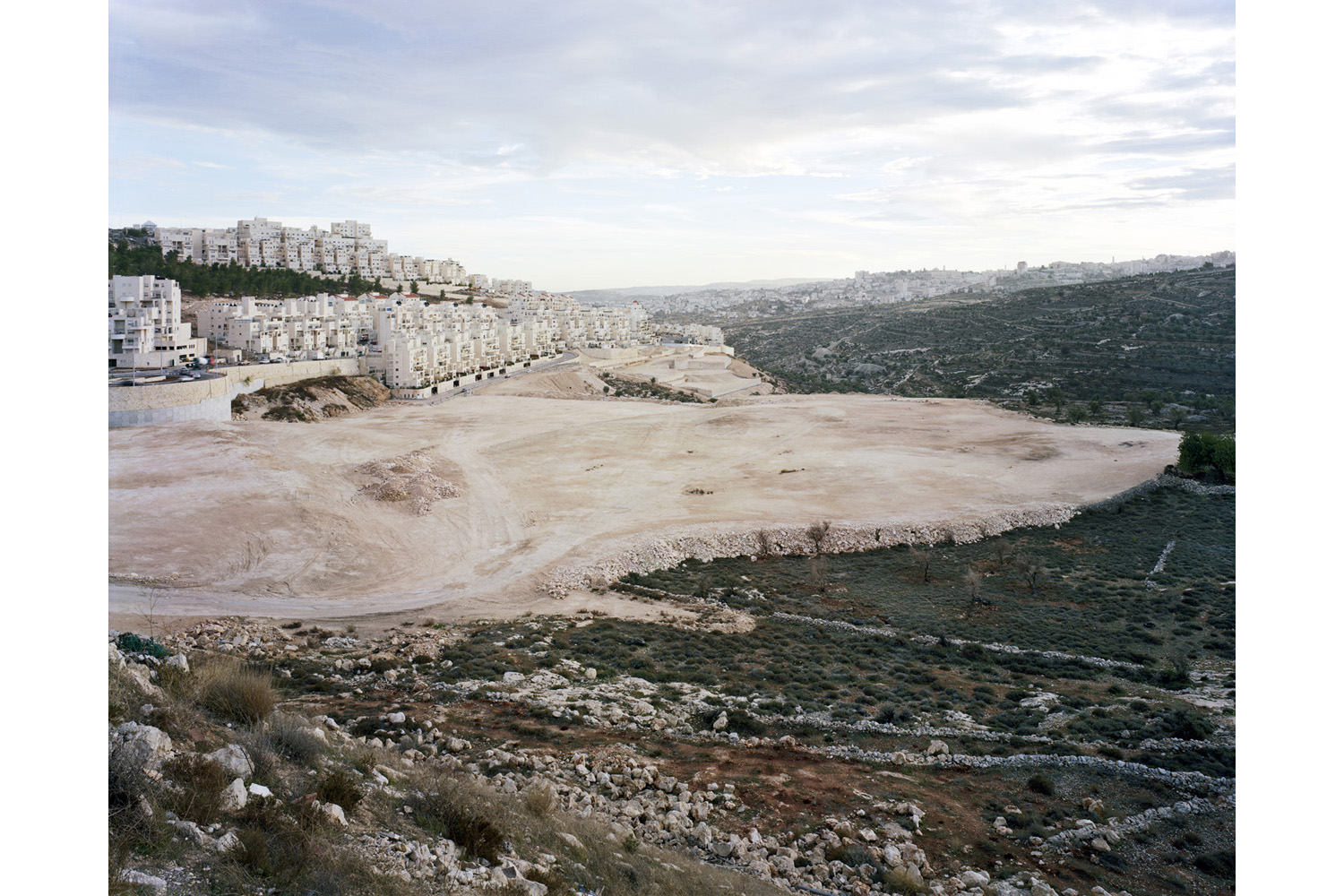
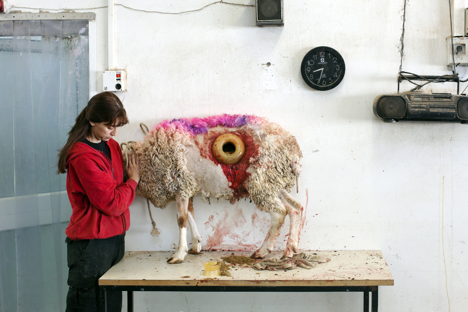
Gesturing to this tradition, an ambitious new project called This Place, nearly a decade in the making, is the collective work of 12 renowned photographers, each of whom took up residence for a spell in Israel and the West Bank. They found their own way of reckoning with a land that is deeply contested and peoples who are irrevocably divided.
“Each artist has created a profound and personal narration of Israel and the West Bank,” writes curator Charlotte Cotton, in a statement, “that, collectively, act a series of guides, leading the viewer into a deeper identification” with the complexities and conflicts of the Holy Land.
Frederic Brenner, a well-known French photographer who came up with the idea for This Place, says the endeavor marks “something quite unprecedented” in terms of the scale of its vision and the terrain that it maps. “I try to look at Israel as place and metaphor,” Brenner recently told TIME.
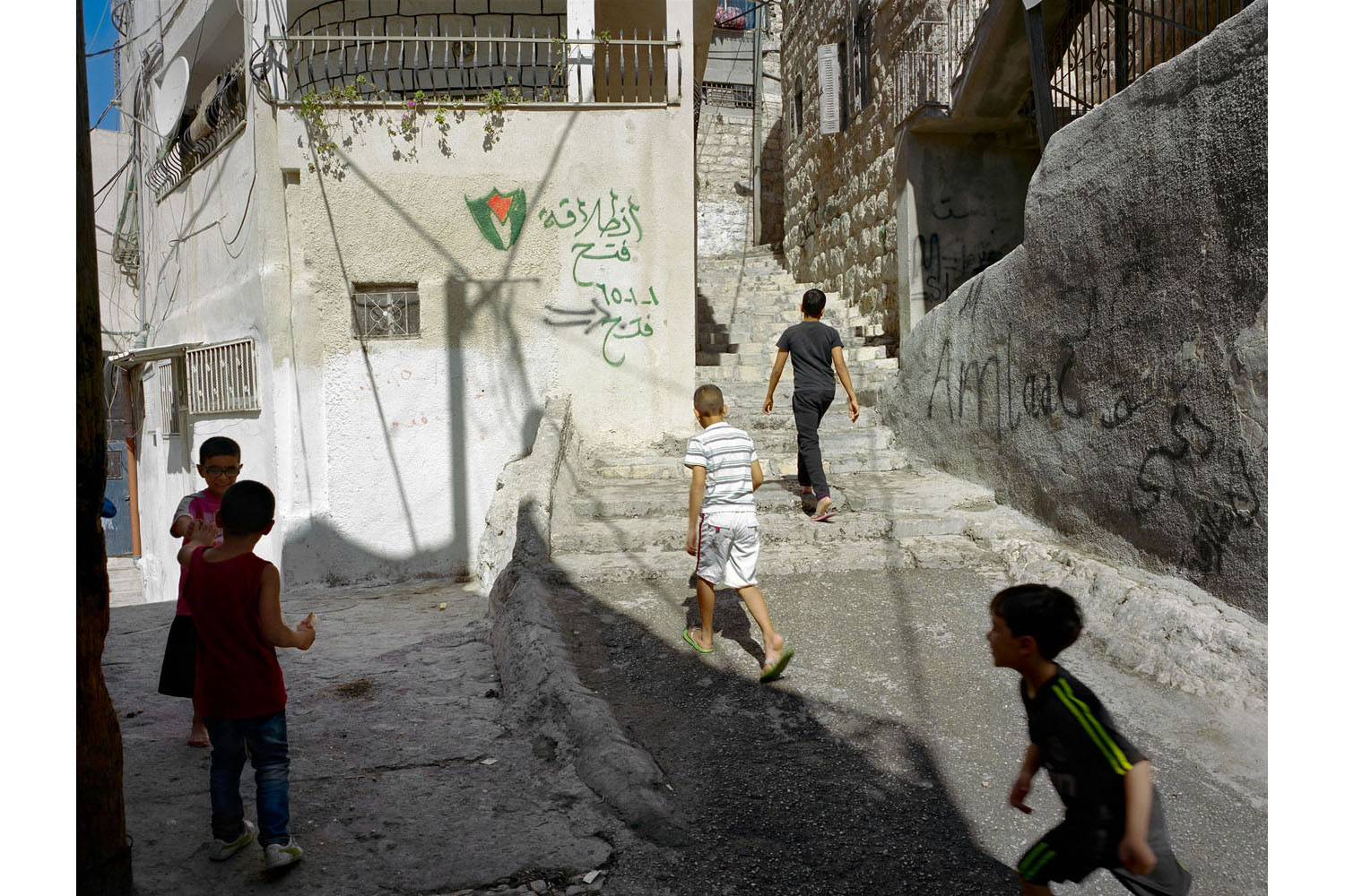
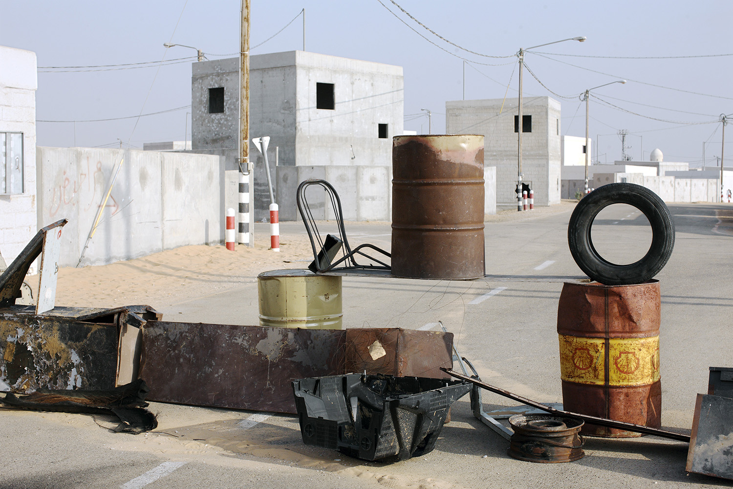
The Holy Land is both the ancient, sacred home of three great monotheistic religions yet also carries with it some of the modern era’s greatest traumas—the memory of the Holocaust, the displacement of the Palestinians, the wars and enmities of the Middle East. But This Place is not an act of photojournalism, nor does it contain — or send — a clear, unified message.
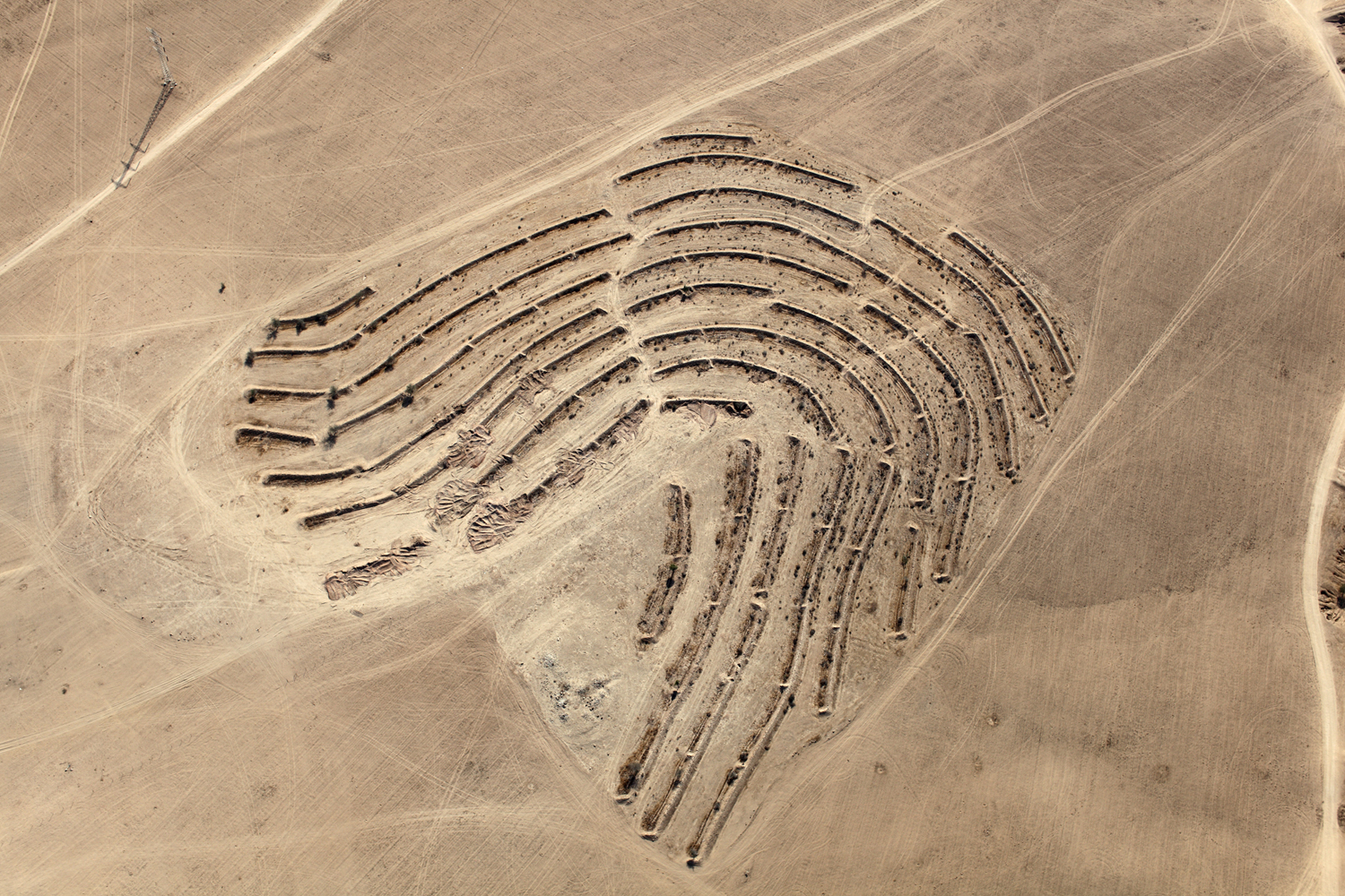
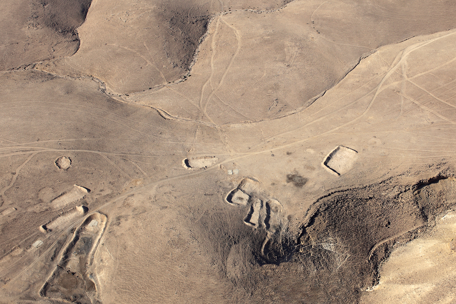
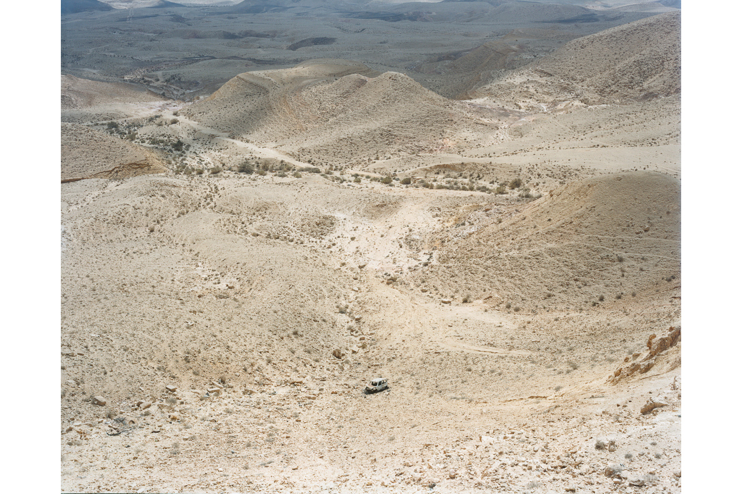
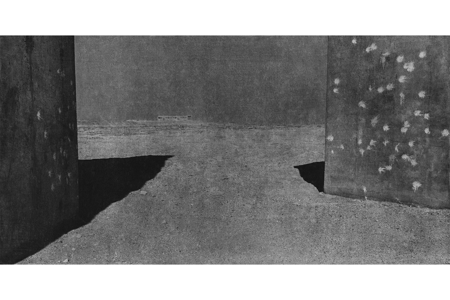
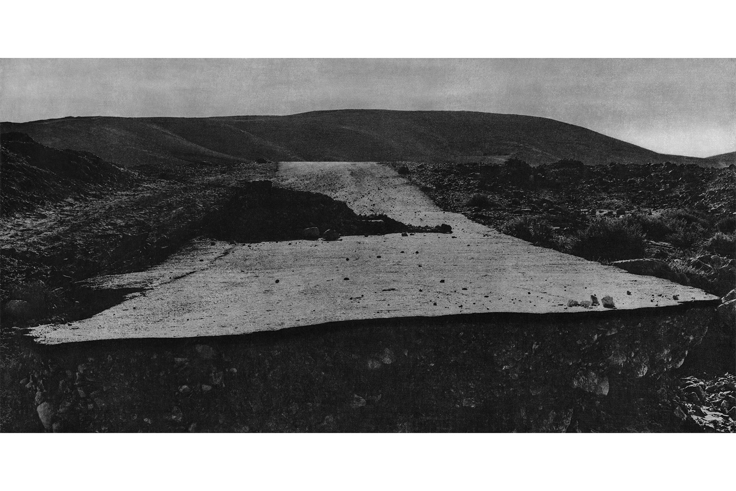
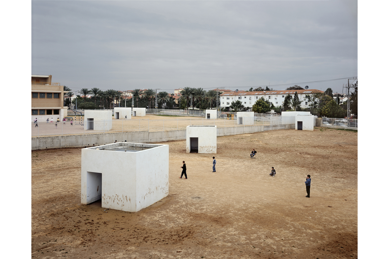
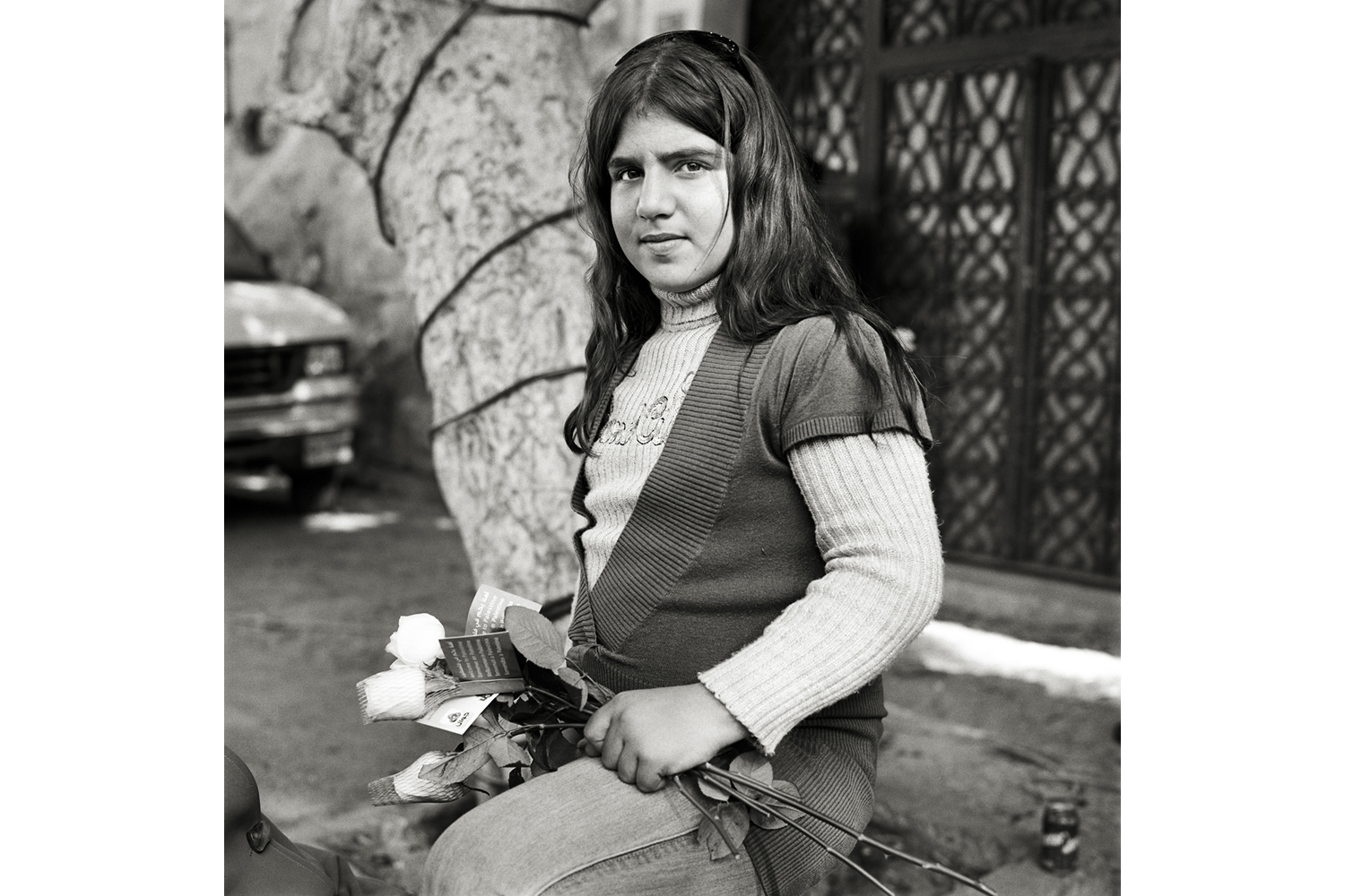
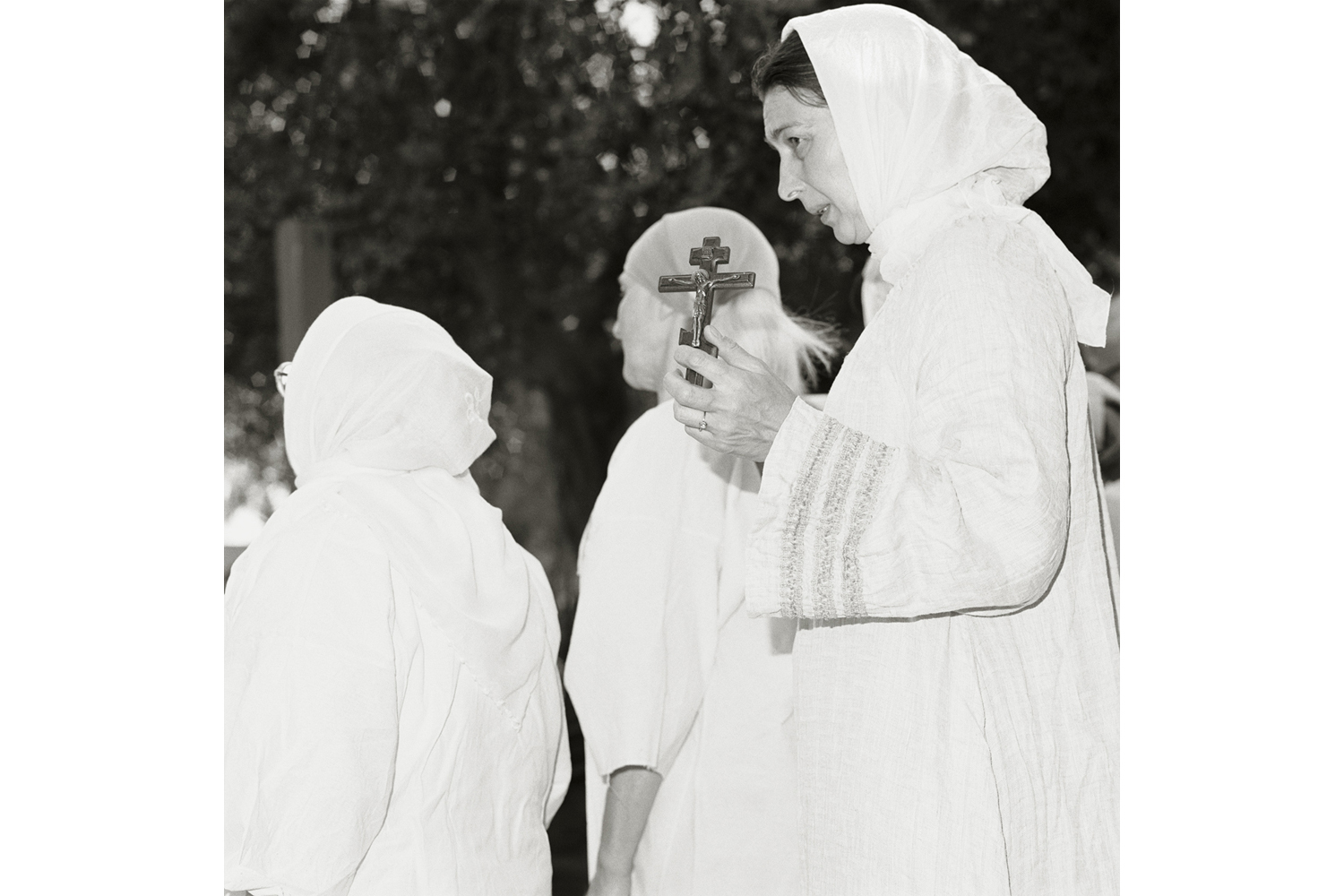
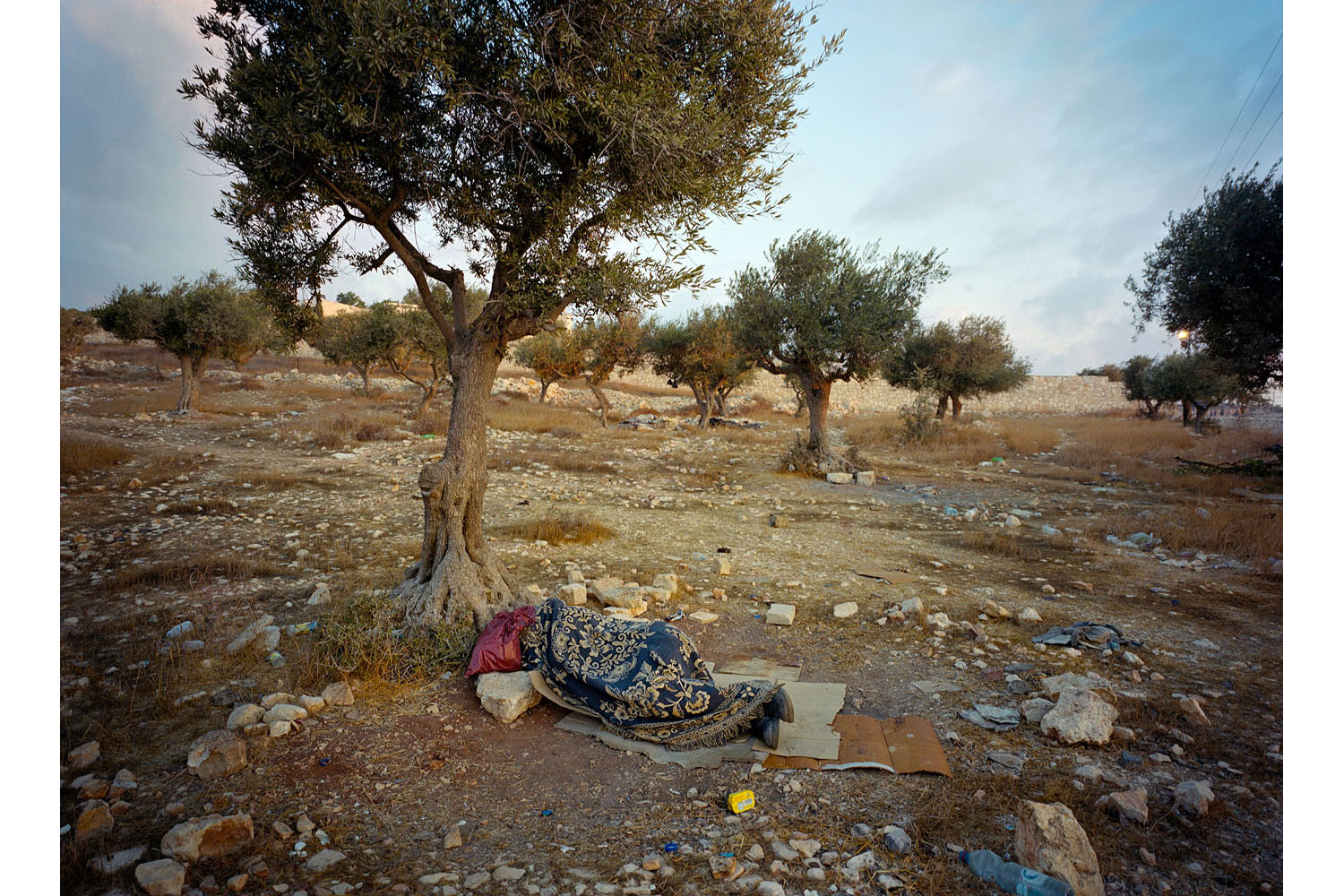
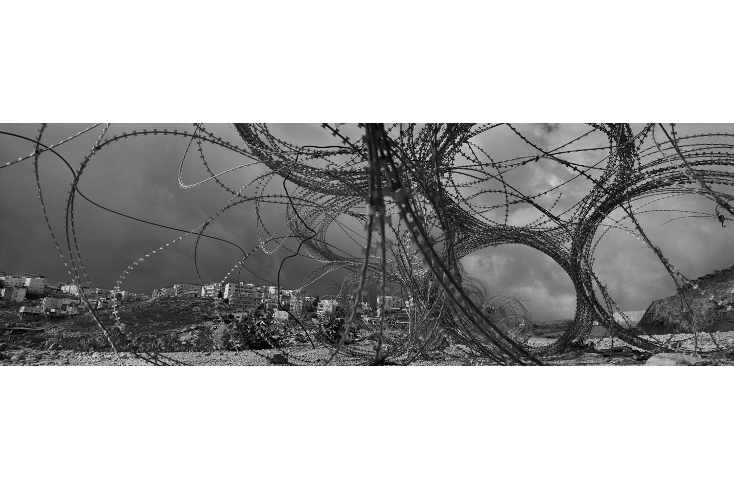
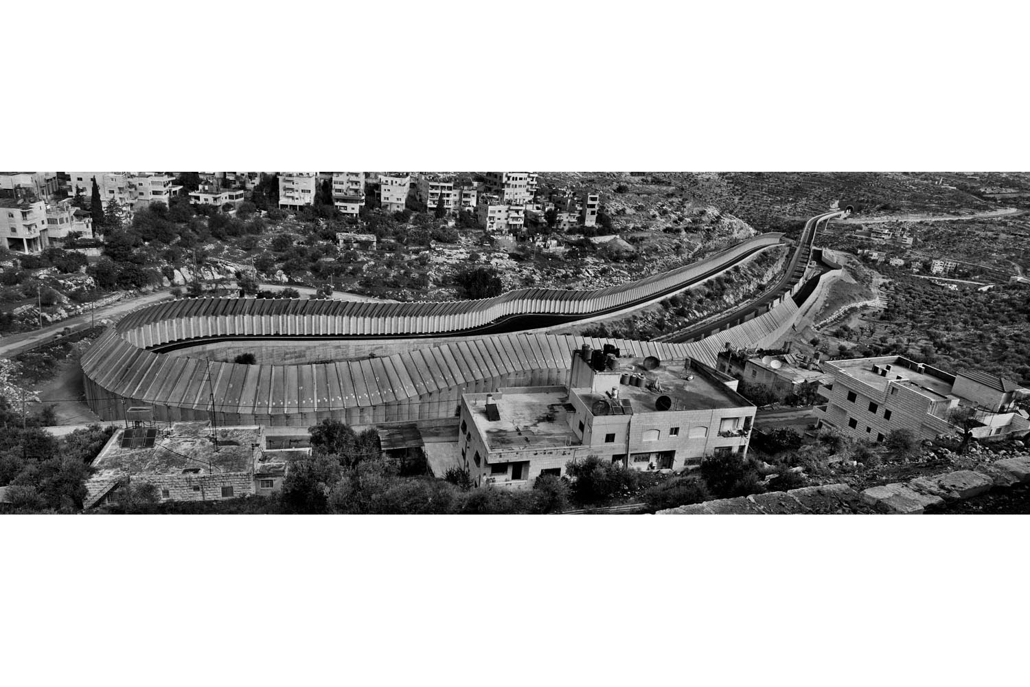
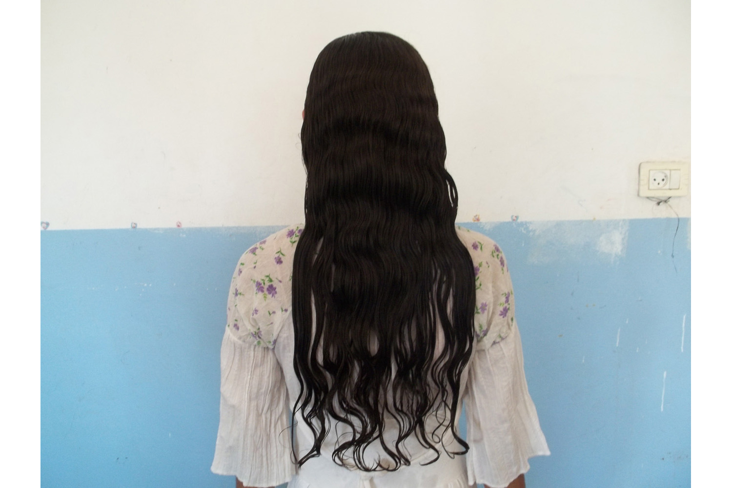
“We want to look beyond the political narrative, not to ignore and not to bypass it,” explains Brenner. He and 12 other photographers set about their projects, starting roughly in 2009. The breadth of the enterprise reflects the range and diverse talents of the enlisted artists. New York-born Fazal Sheikh took to the skies and traced the ghostly outlines of Bedouin communities in the desert. The legendary Czech photographer Josef Koudelka journeyed along the Separation Wall that carves through the occupied West Bank. Wendy Ewald distributed cameras to 14 different groups to generate a remarkable participatory project of some 500 images, selected from thousands taken by members of these disparate communities.
Brenner says the experience was transformative for the photographers involved, many of whom for the first time had to come to grips with an environment as fraught and as riven with deep fault lines as Israel and the Occupied Territories. “I really look at Israel as a site of a radical Otherness,” says Brenner, “where every single person is the Other for somebody else.”
He hopes This Place offers something of “a mirror,” a lens to see beyond what separates and divides.
Find out more about This Place online, on Facebook, and Twitter
Ishaan Tharoor is co-anchor of WorldViews at The Washington Post

More Must-Reads From TIME
- The 100 Most Influential People of 2024
- The Revolution of Yulia Navalnaya
- 6 Compliments That Land Every Time
- What's the Deal With the Bitcoin Halving?
- If You're Dating Right Now , You're Brave: Column
- The AI That Could Heal a Divided Internet
- Fallout Is a Brilliant Model for the Future of Video Game Adaptations
- Want Weekly Recs on What to Watch, Read, and More? Sign Up for Worth Your Time
Contact us at letters@time.com